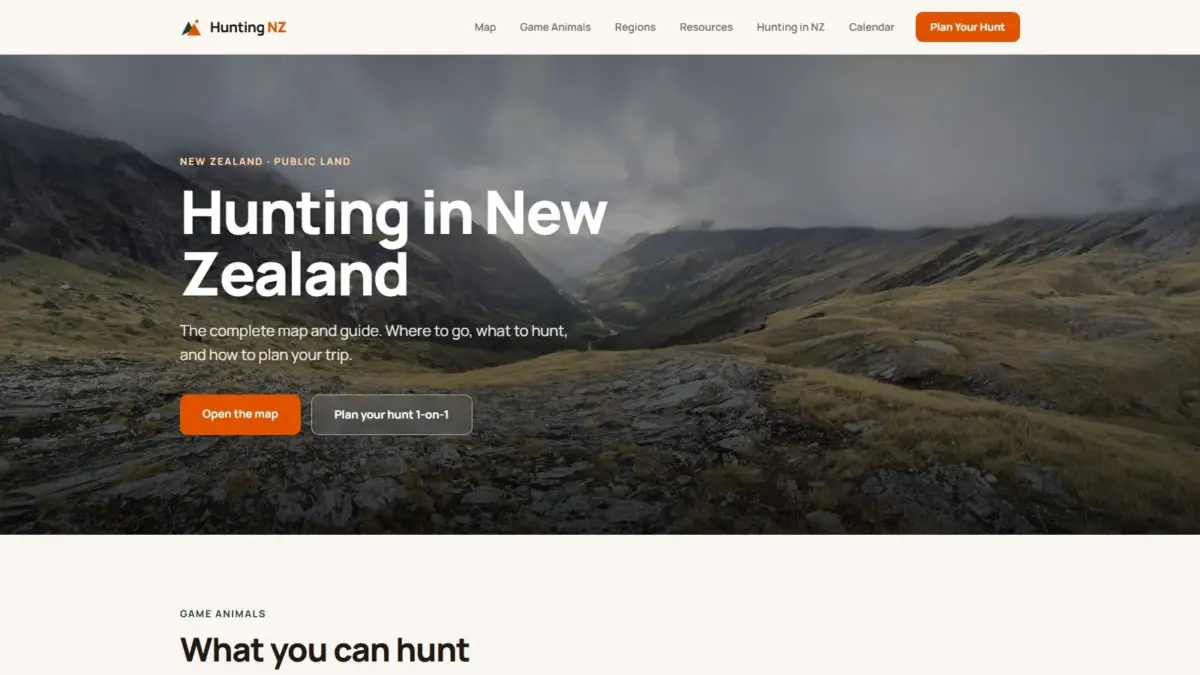
A new web-based mapping initiative aims to streamline backcountry navigation and trip planning for outdoor enthusiasts across New Zealand by consolidating complex public spatial datasets into a single interactive cartographic platform. Designed to answer the core questions of where legal hunting is permitted and what conditions and wildlife exist on the ground, the platform, known as Hunting NZ, provides a centralized visual overview of public conservation areas, designated hunting blocks, landscape topographies, and species distribution patterns.
The application addresses long-standing challenges faced by recreational hunters and outdoor navigators who traditionally had to cross-reference multiple disconnected databases, paper topographic sheets, and regional policy documents to plan trips. By unifying spatial boundaries, environmental monitoring data, infrastructure records, and wildlife distribution models onto a single map screen, the platform offers an integrated digital resource for assessing access, terrain, and legal boundaries across New Zealand’s North and South Islands.
At the core of the Hunting NZ interface is a multi-layered mapping system that visualizes a wide array of environmental and infrastructure data. Users can display boundaries for public conservation land alongside official hunting block delineations, establishing clear spatial distinction between permitted hunting areas and adjacent private lands or restricted zones. The map also overlays marked backcountry walking tracks and the location of remote huts, providing crucial structural context for route planning, multi-day expeditions, and emergency shelter strategy.
To enhance operational awareness, the map incorporates active environmental management layers, specifically data on regional pest-control operations. Displaying pest-control zones—such as areas targeted for active predator control or trapping programs—gives hunters critical situational awareness. This feature is particularly vital for those working with hunting dogs or planning visits to specific catchments, allowing users to identify operational zones prior to entering the field.
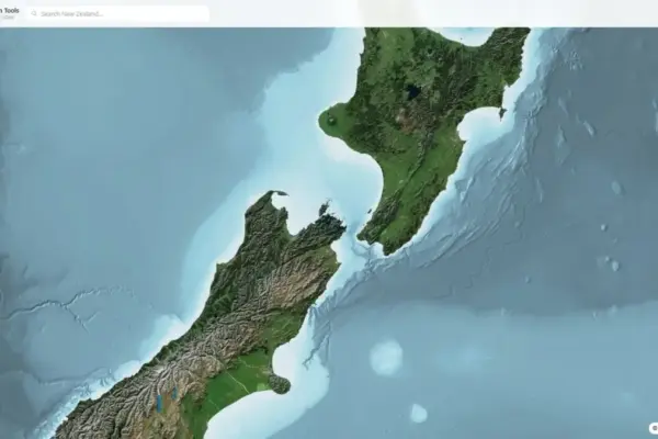
The platform provides a suite of base mapping visualization modes tailored to different stages of planning and terrain analysis. Users can toggle between standard topographic maps, high-resolution aerial imagery, hillshade relief renderings, and fully interactive three-dimensional terrain models. The topographic base maps provide traditional cartographic details such as contour lines, spot heights, and river networks, while aerial imagery offers visual verification of forest canopy coverage, open clearings, and river bed structures.
The hillshade and 3D terrain visualization features allow users to conduct virtual reconnaissance of remote alpine and forest environments. By rendering three-dimensional topographies, the system enables hunters to evaluate terrain steepness, identify prominent ridgelines, gauge elevation profiles, and inspect steep valley systems before setting foot on the ground. This capability is valuable for assessing physical approach routes, identifying potential animal habitat zones, and planning safe descent or ascent paths in rugged terrain.
The mapping system relies entirely on official open datasets provided by key New Zealand government organizations. The platform aggregates spatial data sourced from Land Information New Zealand (LINZ), the Department of Conservation (DOC), and the Walking Access Commission (Herenga ā Nuku). By synthesizing datasets from these distinct entities, the tool creates a cohesive interface out of previously dispersed public spatial records.
Each contributing institution provides a fundamental layer to the platform’s spatial framework. Land Information New Zealand serves as the national mapping and land information authority, supplying the underlying topographic basemaps, land parcel datasets, and physical geography cartography. The Department of Conservation, which manages New Zealand’s vast estate of public conservation land, provides data regarding designated hunting blocks, backcountry hut networks, track systems, and environmental management areas. The Walking Access Commission contributes specialized mapping data related to public access rights, unformed legal roads, and access easements, ensuring users understand legal entry points across complex land tenures.
In addition to its spatial mapping features, the Hunting NZ platform integrates educational content and species-specific reference materials directly tied to geographical locations. The site offers comprehensive profiles and habitat guides for major introduced game animals found across New Zealand, including red deer, Himalayan tahr, chamois, sika deer, wapiti, and other species.
These species profiles are paired with distribution maps that visualize where specific animals are established across both islands. Understanding species distributions allows hunters to target their search based on documented wildlife presence, habitat preferences, and regional population ranges. For instance, the spatial data reflects the localized ranges of species like sika deer in the central North Island or herd locations for Himalayan tahr and chamois across the alpine ecosystems of the South Island, as well as the distinct habitats occupied by red deer and wapiti.
To further assist field preparation, the mapping platform is supported by region-by-region breakdowns that contextualize hunting conditions across different geographic territories. These regional guides highlight local land management rules, terrain characteristics, and access points unique to specific catchments and ranges.
The resource also features a structured hunting calendar that outlines key seasonal dynamics throughout the year. The calendar details critical behavioral periods, such as the seasonal roar for red deer or the rutting periods for tahr and chamois, helping hunters align their activities with species movement patterns and weather conditions. Supplementing the calendar and maps is comprehensive guidance on licensing and regulatory compliance, outlining the necessary permits, safety guidelines, and legal prerequisites required to hunt lawfully on public conservation land.
The development of the Hunting NZ platform was led by Daniel O’Donohue, a professional geospatial specialist and the creator and host of The MapScaping Podcast, an established media platform dedicated to geographic information systems (GIS) and the broader geospatial community. Drawing on a background in spatial analysis and map creation, O’Donohue developed the resource to demonstrate how modern GIS tools can organize multi-layered geospatial data into practical applications for the public.
O’Donohue’s work focuses on unlocking the analytical potential of spatial data to help users understand complex real-world environments layer by layer. By organizing disparate environmental, administrative, and infrastructural datasets into a single web application, the Hunting NZ project illustrates how open geospatial data can be repurposed to support outdoor safety, environmental awareness, and public land access.
By centralizing official land administration data, backcountry infrastructure locations, species distribution models, and advanced visual terrain rendering, the platform offers an integrated tool for navigating New Zealand’s public lands. The combination of verified government datasets with accessible digital cartography provides hunters and outdoor recreationists with a consolidated visual reference for planning safe, lawful, and informed backcountry trips.