Skip to content
Breaking News
  • GeoHound Tool Launches as Chrome Extension to Instantly Detect, Analyze, and Process Web Map Data
  • From ERP Systems to AI Strategy: Inside Aakansha Bhalotia’s 13-Year Tech Journey at Precisely
  • Elistair Unveils Tethered Air Module for the Parrot ANAFI UKR to Enable Extended ISR Missions
Thursday, October 22, 2026
Edition: U.S. International Login

Hack The Map

Category: Remote Sensing and Satellite Imagery

Unveiling Greenland’s Hidden Bedrock: NASA Scientists Map Ancient Landscapes Beneath the Ice Sheet

Deep beneath the frozen expanse of the Greenland Ice Sheet lies a secret landscape that no human eye has ever directly witnessed. Spanning an astonishing 1.7 million square kilometers—equivalent to roughly 656,000 square miles—the massive ice sheet reaches thicknesses of…
Azzam Bilal Chamdy • September 28, 2026

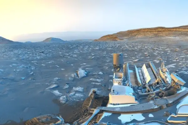
NASA’s Curiosity Rover Marks 5,000 Martian Sols with a Striking Day-to-Night ‘Postcard’ from Mount Sharp

September 27, 2026
NASA’s hardworking Curiosity Mars rover has reached another monumental milestone in its historic exploration of the Red Planet. While parked…
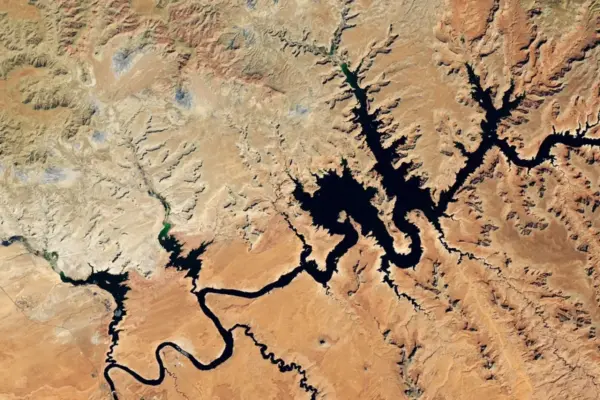
Lake Powell Plunges to Record Lows as Western Snow Drought Deepens U.S. Water Crisis

September 27, 2026
The compounding effects of a severe winter snow drought and persistently high temperatures across the Upper Colorado Basin have pushed…

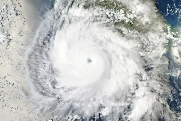
Hurricane Polo Shatters Expectations with Explosive Rapid Intensification in the Eastern Pacific

September 25, 2026
In mid-September 2026, a routine weather disturbance began taking shape off the Pacific coast of Mexico. What started as a…

Pacific Northwest Cloaked in Autumn Marine Stratus Captured by NASA Satellites

September 24, 2026
A sweeping low-lying cloud layer swept across western Washington and Oregon in mid-September 2026, delivering a quintessential autumn ambience to…

A Rare Floral Superbloom Transforms Western Australia’s Arid Outback Following Heavy Winter Rains

September 23, 2026
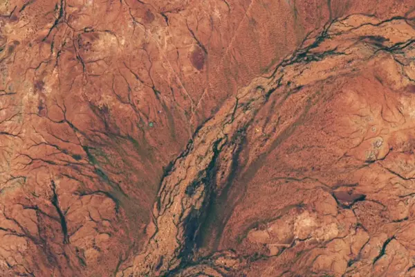
Arid shrublands across Western Australia underwent a dramatic and breathtaking transformation in the late austral winter of 2026, bursting with…

Vivid Reds and Golds Sweep Across Nunavut Tundra as Arctic Autumn Arrives Early

September 22, 2026
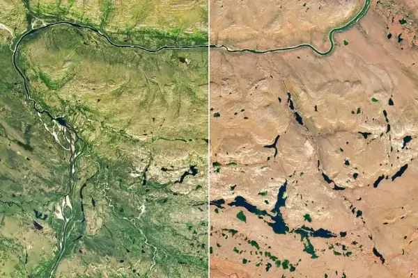
As much of North America continued to endure a summer of remarkable and prolonged heat well into September 2026, the…

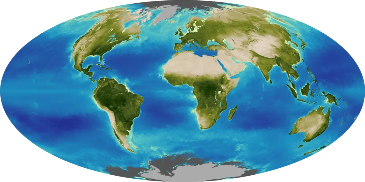
Seeing the Seasons Shift: How a Deep-Space NASA Camera Captures Earth’s Annual Dance

September 22, 2026
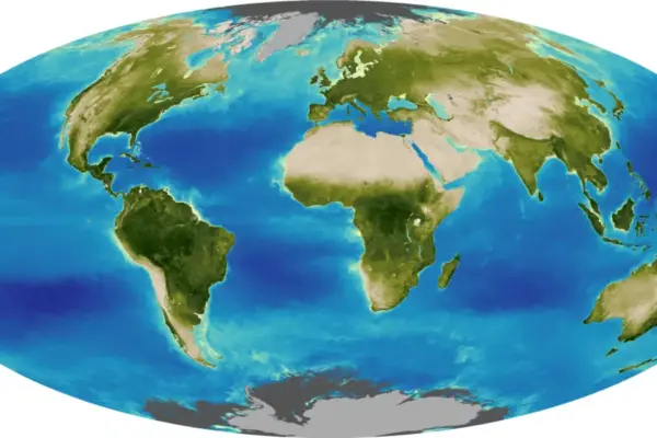
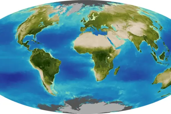
The tilt in Earth’s axis of rotation makes the apparent position of continents shift with the seasons in imagery from…

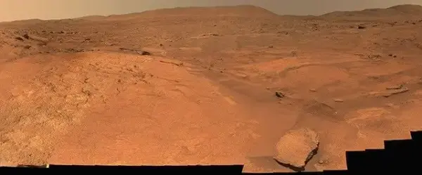
Perseverance Rover Captures Sweeping 360-Degree Panorama of Martian Landscape at ‘Turquoise Bay’

September 21, 2026
NASA’s Perseverance Mars rover has added another stunning visual milestone to its ongoing exploration of the Red Planet, capturing a…

Amateur Astronomer’s Camping Map Search Leads to Discovery of Massive Ancient Crater in Quebec

September 21, 2026
While scouting online satellite maps for a remote camping trip in Quebec, an amateur astronomer made an unexpected discovery that…

Posts navigation

Older posts

Recent Posts

  • GeoHound Tool Launches as Chrome Extension to Instantly Detect, Analyze, and Process Web Map Data
  • From ERP Systems to AI Strategy: Inside Aakansha Bhalotia’s 13-Year Tech Journey at Precisely
  • Elistair Unveils Tethered Air Module for the Parrot ANAFI UKR to Enable Extended ISR Missions
  • A 178-Year-Old Train Delay Solves a Major Mystery in the History of Space Weather and Solar Storms
  • Urban Parking Costs and Curb Management Drive Traffic and Transportation Planning Challenges, New Report Shows

Recent Comments

No comments to show.

Archives

  • October 2026
  • September 2026
  • August 2026

Categories

  • Data Visualization and Infographics
  • Disaster Response and Humanitarian Mapping
  • Drone Mapping and Aerial Photography
  • Environmental and Climate Mapping
  • Geography and Earth Science
  • Geolocation and Cybersecurity
  • Geopolitics and Map News
  • GIS and Spatial Technology
  • Location Intelligence and Spatial Analytics
  • Open Data and Civic Tech
  • Open Source Geospatial Software
  • OpenStreetMap and Community Mapping
  • Remote Sensing and Satellite Imagery
  • Transportation and Mobility Tech
  • Travel Hacking and Digital Nomad
  • Urban Planning and Smart Cities
  • Web Mapping and Cartography

© 2026 Hack The Map. All rights reserved.

Theme: The Original by Rifan Muazin.