Skip to content
Breaking News
  • Visualizing Spatial Intelligence: The Growing Role and Impact of Thematic Mapping in Modern Data Science
  • GeoHound Chrome Extension Automates Web Map Layer Detection and In-Browser GIS Processing
  • Navigating Strategy, AI, and High Agency: Inside Aakansha Bhalotia’s 13-Year Tech Journey
Saturday, October 24, 2026
Edition: U.S. International Login

Hack The Map

Month: September 2026

Data Visualization and Infographics

How Artificial Intelligence Is Changing the Way Data Analysts Choose Visualizations

September 28, 2026 Nana
In the fast-evolving landscape of data communication, choosing the right visual is rarely a straight line from a first attempt…
OpenStreetMap and Community Mapping

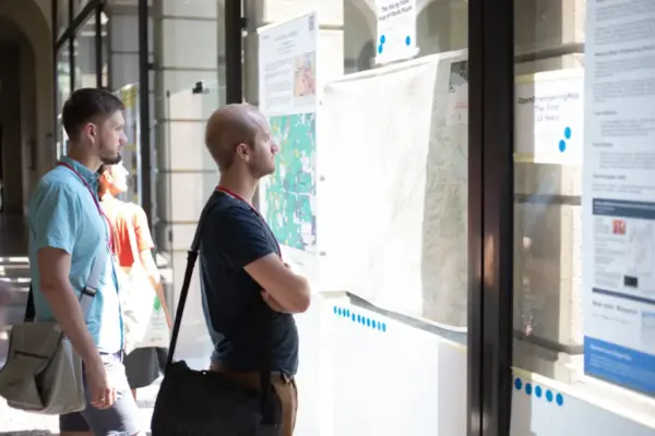
State of the Map 2026 Opens Call for Posters, Offering Global Contributors a Visual Stage for OpenStreetMap Research and Community Initiatives

September 27, 2026 Nana Wu
Organizers of State of the Map 2026 have officially launched the Call for Posters, inviting cartographers, academic researchers, community organizers,…
Remote Sensing and Satellite Imagery

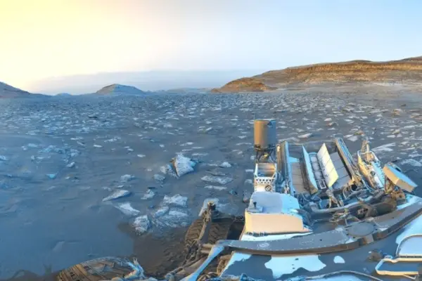
NASA’s Curiosity Rover Marks 5,000 Martian Sols with a Striking Day-to-Night ‘Postcard’ from Mount Sharp

September 27, 2026 Basiran
NASA’s hardworking Curiosity Mars rover has reached another monumental milestone in its historic exploration of the Red Planet. While parked…
Geography and Earth Science

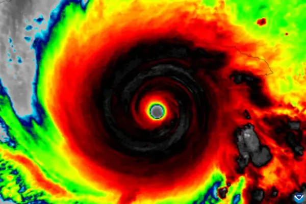
Hurricane Hunters Reveal the Four Critical Signs That Help Tilted Tropical Cyclones Stand Straight and Rapidly Intensify

September 27, 2026 Reynand Wu
For decades, meteorologists and hurricane forecasters have understood a fundamental rule of tropical meteorology: a tropical cyclone generally needs to…
Geopolitics and Map News

How the Chinese Communist Party Survives Through Permanent Self-Revolution

September 27, 2026 Ali Ikhwan
For two decades, political scholars and foreign policy analysts held a near-consensus view on the resilience of the People’s Republic…
Travel Hacking and Digital Nomad

Modernizing Travel Insurance: Why the Industry is Shifting Toward Digital-First Solutions

September 27, 2026 rifanmuazin
For nearly two decades observing and writing about the global travel landscape, the travel insurance industry has often appeared to…
Open Source Geospatial Software

GeoServer Releases Urgent 2.27.6 Update to Address Critical Security Vulnerabilities

September 27, 2026 Nana
The GeoServer development team has officially announced the immediate availability of GeoServer 2.27.6, a specialized security and maintenance release designed…
Transportation and Mobility Tech

Understanding the Real Cost of Electric Wheelchairs: Pricing, Technology, and Financial Assistance Options

September 27, 2026 Sagoh
When individuals consider the incredible independence and freedom that an electric wheelchair can bring to daily life, it is easy…
Data Visualization and Infographics

Navigating the Clash Between Data Findings and Stakeholder Expectations: A Lesson in Data Storytelling

September 27, 2026 Azzam Bilal Chamdy
During a recent virtual public workshop hosted by Storytelling with Data, a thought-provoking question from a participant struck at the…
Web Mapping and Cartography

Understanding Voronoi Diagrams: How Classic Spatial Partitioning Is Moving to Browser-Based Processing

September 27, 2026 Laily UPN
Spatial analysis has long rested on a foundational question: given a collection of known locations across a landscape, which specific…

Posts navigation

Older posts
Newer posts

Recent Posts

  • Visualizing Spatial Intelligence: The Growing Role and Impact of Thematic Mapping in Modern Data Science
  • GeoHound Chrome Extension Automates Web Map Layer Detection and In-Browser GIS Processing
  • Navigating Strategy, AI, and High Agency: Inside Aakansha Bhalotia’s 13-Year Tech Journey
  • FAA Releases Draft Design Standards for Vertiports and Vertical Flight Facilities
  • Japan’s Ancient Kikai Caldera is Quietly Refilling with Fresh Magma, Raising New Clues for Supervolcano Research

Recent Comments

No comments to show.

Archives

  • October 2026
  • September 2026
  • August 2026

Categories

  • Data Visualization and Infographics
  • Disaster Response and Humanitarian Mapping
  • Drone Mapping and Aerial Photography
  • Environmental and Climate Mapping
  • Geography and Earth Science
  • Geolocation and Cybersecurity
  • Geopolitics and Map News
  • GIS and Spatial Technology
  • Location Intelligence and Spatial Analytics
  • Open Data and Civic Tech
  • Open Source Geospatial Software
  • OpenStreetMap and Community Mapping
  • Remote Sensing and Satellite Imagery
  • Transportation and Mobility Tech
  • Travel Hacking and Digital Nomad
  • Urban Planning and Smart Cities
  • Web Mapping and Cartography

© 2026 Hack The Map. All rights reserved.

Theme: The Original by Rifan Muazin.