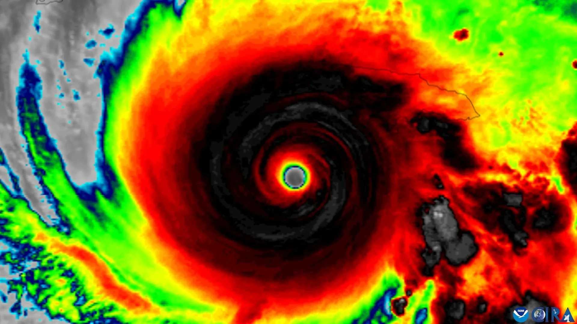
For decades, meteorologists and hurricane forecasters have understood a fundamental rule of tropical meteorology: a tropical cyclone generally needs to achieve vertical organization before it can grow significantly stronger. In practical terms, this means that the storm’s rotating circulation centers at different levels of the atmosphere must align vertically rather than remain sheared or tilted away from one another. When a storm is tilted, its engine is essentially disjointed, making substantial intensification a difficult challenge.
Now, utilizing nearly three decades of invaluable observational data gathered by NOAA Hurricane Hunter aircraft, a team of researchers has pinpointed four specific features that appear to help these tilted tropical cyclones become vertically aligned and, consequently, far more capable of rapid intensification.
The research was spearheaded by scientists at the University of Miami Rosenstiel School of Marine, Atmospheric, and Earth Science, working closely with colleagues at NOAA’s Atlantic Oceanographic and Meteorological Laboratory. Their comprehensive findings suggest that a successful structural alignment is not the result of a single isolated mechanism, but rather depends on several environmental and internal factors working in concert. These include the storm’s distinct internal structure, the direction and force of surrounding winds, and broader atmospheric conditions encompassing the developing cyclone.
Understanding this vital structural transition carries profound implications for public safety and emergency management. Rapidly intensifying tropical cyclones often catch coastal communities off guard, leaving emergency managers with very little time to issue evacuation orders, secure infrastructure, and prepare populations in the path of the storm. If weather forecasters can recognize earlier in a storm’s lifecycle when a poorly organized tropical cyclone is developing the favorable characteristics needed for strengthening, they may be able to provide vulnerable communities with critical hours or even days of additional preparation time.
"A tropical cyclone has to stand up straight before it can intensify," explained Michael S. Fischer, the lead author of the study and an assistant professor in the Department of Atmospheric Sciences at the Rosenstiel School. Elaborating on the mechanics of storm disruption, Fischer noted that strong winds higher up in the atmosphere can push the top of a storm’s circulation completely away from its surface center near the ocean. Until those disparate centers come back into vertical alignment, the storm usually cannot intensify substantially.
Four Signs That Favor Storm Alignment
To better understand this complex meteorological process, the researchers set out to identify the exact characteristics that can help determine whether a tilted tropical cyclone is likely to straighten itself vertically or remain disorganized. Their investigation yielded four key signs that favor successful storm alignment.
The first essential feature is a compact, tightly organized circulation located close to the ocean surface. The second factor is a storm tilt that is positioned favorably relative to the prevailing vertical wind shear in the environment. The third characteristic involves stronger rising air—known as updrafts—along with heavier rainfall concentrated near the storm’s lower-level center. Finally, the fourth feature is an accommodating surrounding environment characterized by warm ocean waters, an abundance of atmospheric moisture, and relatively weak winds in the middle levels of the atmosphere.
To provide clear context for these mechanics, meteorologists use the term "tilt" to describe the horizontal separation between a tropical cyclone’s low-altitude circulation center and its middle-altitude circulation center. When a storm experiences significant tilt, its thermal engine is fractured, preventing the release of latent heat from efficiently building the warm core required for a powerful hurricane.
This disruption is frequently driven by vertical wind shear, a term that refers to changes in wind speed or direction with height in the atmosphere. Strong wind shear can severely interfere with a cyclone’s internal organization by forcefully pushing the upper portions of its circulation away from the anchor point closer to the ocean surface. When shear dominates, storms often struggle to maintain their structure, making the pathways to alignment a crucial area of study for modern weather prediction.
Nearly Three Decades of Hurricane Hunter Data
To investigate which storms successfully overcame these structural hurdles to become vertically aligned, the research team examined an extensive trove of data sourced from the Tropical Cyclone Radar Archive of Doppler Analyses with Recentering, widely known as the TC-RADAR database.
Developed by Fischer and his research colleagues, this comprehensive database includes an impressive 1,510 individual radar analyses gathered directly by NOAA Hurricane Hunter aircraft across 28 active hurricane seasons, spanning a timeline from 1997 through 2024. This remarkable wealth of empirical data provided the team with an unprecedented historical record, enabling them to conduct detailed comparative analyses between storms that eventually achieved vertical alignment and those that remained persistently tilted and weak.
"The storms that aligned already looked different about a day beforehand," said Fischer, who is also a core faculty member of the Frost Institute for Data Science and Computing. Highlighting the specific structural differences observed in the data, he noted that these aligning storms featured stronger, more tightly wound circulations near the surface, coupled with more widespread and vigorous thunderstorms lifting air directly near that center.
According to the researchers, these findings suggest that robust thunderstorms developing near the lower-level circulation are not merely a passive sign of existing organization. Instead, they appear to play a deeply active physical role, potentially helping to pull the storm’s leaning circulation back upright.
Earlier Clues That a Storm Is Becoming Organized
The practical application of this research could significantly enhance operational forecasting. NOAA reconnaissance aircraft routinely collect many of the exact measurements highlighted in the study during their routine operational flights into active systems. These measurements include low-level wind strength, overall storm size, the spatial coverage of thunderstorms, and the precise direction and magnitude of a cyclone’s tilt.
Because these variables are already actively monitored in real time, the newly identified features could potentially help scientists evaluate whether high-resolution numerical hurricane forecasting models are accurately reproducing the complex physical processes that allow tilted storms to successfully transition into vertically aligned systems.
Furthermore, the research may provide operational forecasters with vital early clues regarding which disorganized tropical cyclones are beginning to undergo structural transitions that favor rapid intensification. Even a modest increase in forecast confidence delivered a full day earlier can translate into life-saving preparation time for communities situated directly in a storm’s projected path.
"This study gives us real-world evidence about what separates a storm that is becoming organized from one that remains tilted and less capable of strengthening," Fischer added, emphasizing the value of translating decades of observational aircraft data into actionable forecasting knowledge.
The findings of this extensive investigation were detailed in a study titled "To Align or Not to Align? That Is the Question," which was published in the Journal of Geophysical Research: Atmospheres.
In addition to lead author Michael S. Fischer, the research team included George R. Alvey III of the Cooperative Institute for Marine and Atmospheric Studies and NOAA’s Atlantic Oceanographic and Meteorological Laboratory; Deelan Jariwala, who earned bachelor’s degrees in meteorology and mathematics from the University of Miami; and Paul D. Reasor of NOAA’s Atlantic Oceanographic and Meteorological Laboratory Hurricane Research Division. The research project received core financial support from the National Science Foundation under award No. 2241605.