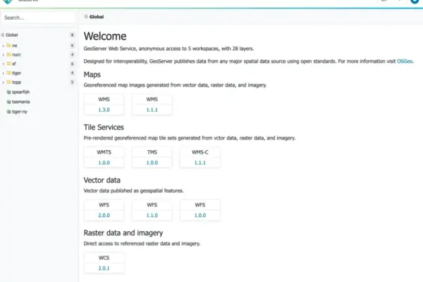
The GeoServer development team has officially announced the immediate availability of GeoServer 2.27.6, a specialized security and maintenance release designed to address urgent vulnerabilities. Administrators running production mapping environments are strongly advised to take note of this deployment, as the update carries critical security implications for active systems. Along with the core application updates, this release is paired with GeoTools 33.6, ensuring underlying spatial data processing libraries remain aligned with the latest framework enhancements.
The newly released software package is currently available for download across multiple distribution formats to accommodate diverse server infrastructures. Users can access the standard binary archive, the web archive (WAR) distribution for servlet containers, and the Windows installer package through the project’s SourceForge repository. In addition to the core binaries, comprehensive documentation archives and a complete suite of standard extensions have been updated and published simultaneously to support the 2.27.6 ecosystem.
A vital detail highlighted by the release coordinators is the lifecycle status of the 2.27 series. This specific branch of GeoServer has previously reached its formal end-of-life milestone. Consequently, the development team stressed that version 2.27.6 is an extraordinary release issued specifically to mitigate urgent security vulnerabilities or critical bugs that demand immediate attention. Because the branch is no longer actively maintained for routine feature updates, administrators should treat this patch strictly as an urgent remediation measure. The project leadership advises that teams apply this update promptly to safeguard running environments while simultaneously planning a migration path toward a fully supported stable or active maintenance release of GeoServer.
The successful compilation and rollout of version 2.27.6 were coordinated through the collaborative efforts of prominent open-source geospatial contributors, with special acknowledgments extended to Andrea Aime of GeoSolutions and Jody Garnett of GeoCat for driving the release process forward. Their ongoing stewardship highlights the strong community-driven framework that sustains the widely utilized open-source geographic information system server.
Security Considerations
Security management remains a paramount priority for the GeoServer community, and version 2.27.6 underscores this commitment by focusing heavily on threat mitigation. The updates included in this package are classified as urgent for any production deployment currently operating on the 2.27 branch. Because unpatched geographical information systems can expose organizational network infrastructure and spatial databases to malicious actors, applying this emergency patch is critical for maintaining data integrity and system confidentiality.
The GeoServer project relies on the Common Vulnerabilities and Exposures (CVE) system to transparently communicate security risks to the global user base. Utilizing standardized CVE identifiers enables the project team to reach a much broader audience of system administrators, security officers, and enterprise IT departments than would otherwise be possible through standard blog posts or mailing list announcements alone. Organizations seeking deeper insight into how security reports, vulnerability disclosures, and emergency patches are handled can consult the official project security policy hosted directly within the core GitHub repository.
Release Notes and Underlying Architecture
While version 2.27.6 is primarily a security-focused mitigation release rather than a feature-heavy functional update, it incorporates underlying changes inherited from its synchronization with the GeoTools 33.6 library. These foundational updates ensure that spatial parsing, rendering performance, and data format handlers maintain compatibility with dependent libraries. Developers and system administrators interested in auditing the precise code changes, commit histories, and granular details can review the complete change log via the official 2.27.6 release tag on the project’s GitHub repository.
The ecosystem surrounding GeoServer continues to thrive through collaborative community module development. Community modules are deliberately shared as open-source codebases to foster experimentation, peer review, and cooperative feature enhancement among developers worldwide. These modules allow domain experts to test innovative geospatial capabilities before they mature into officially supported core extensions. The GeoServer project encourages interested developers and geospatial analysts who wish to explore these experimental topics or contribute code to reach out directly to individual module developers to offer assistance and collaborate on future iterations.
About the GeoServer 2.27 Series
The 2.27 series has experienced a comprehensive development lifecycle marked by successive iterative improvements prior to reaching its current end-of-life status. For historical tracking and upgrade planning, administrators can review the progression of the series through its prior iterations, including version 2.27.5, 2.27.4, 2.27.3, 2.27.2, 2.27.1, and the initial 2.27.0 release. Each of these historical release notes remains accessible via GitHub, providing a detailed audit trail of the fixes, enhancements, and architectural shifts that have defined the 2.27 branch over its operational lifespan.