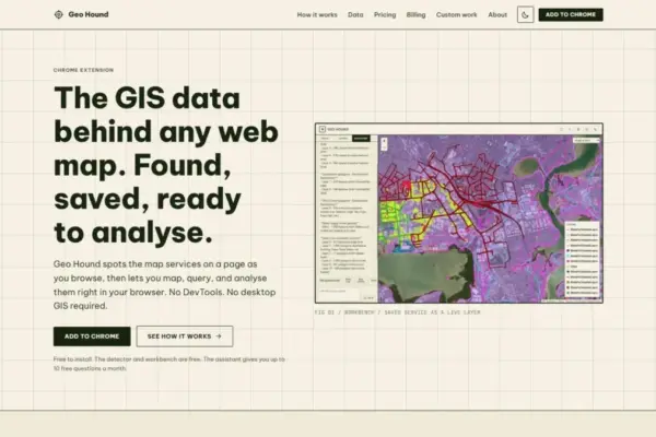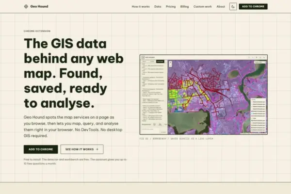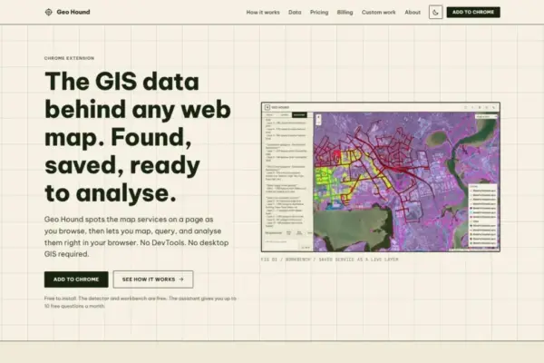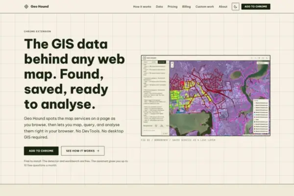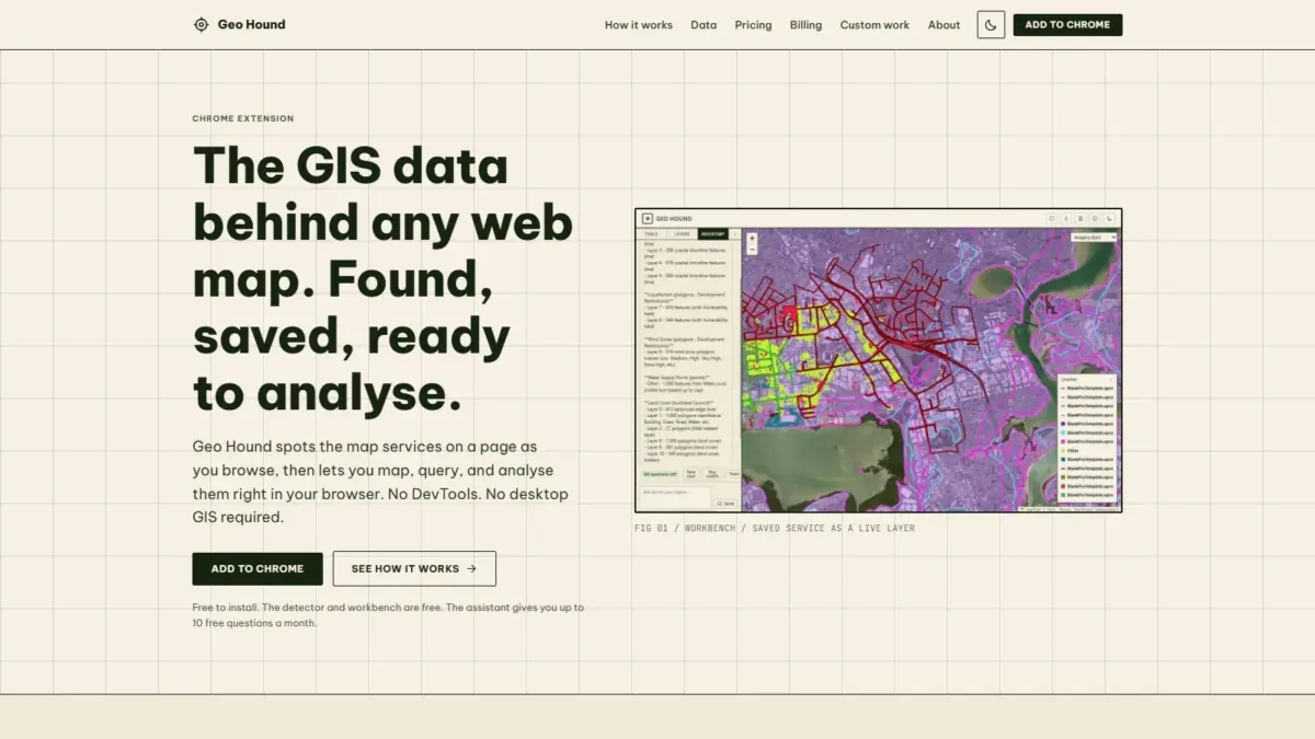
A new browser tool designed to streamline spatial data discovery and lightweight geographic analysis has been released, providing geospatial professionals, cartographers, and web mappers with an automated method to uncover and process the data layers driving interactive web maps. GeoHound, a Google Chrome extension developed to simplify the extraction of spatial web services, automatically detects the underlying data feeds powering web mapping applications as users navigate across the internet. By identifying up to 29 distinct geospatial service types and data formats, the extension removes traditional technical barriers associated with identifying web map data sources, while offering an integrated workbench that enables spatial analysis directly within the browser ecosystem.
Interactive web maps have become ubiquitous across public utilities, municipal portals, news media outlets, environmental monitoring platforms, and commercial enterprises. However, identifying the specific data feeds and spatial endpoints that fuel these visual maps has historically been a complex and fragmented technical exercise. Standard web mapping platforms routinely stream data behind custom web interfaces using various backend protocols. For users attempting to inspect or retrieve the raw spatial data behind a web map, the conventional workflow generally required opening browser Developer Tools, sifting through dozens or hundreds of active network calls in the Network tab, filtering for specific XHR or Fetch requests, and manually extracting service endpoint URLs.
GeoHound eliminates this manual process by acting as an active spatial inspection tool within the Google Chrome browser. As a user navigates through websites that feature embedded maps, GeoHound monitors incoming web traffic in real time to identify active spatial services. The extension automatically detects a wide spectrum of standards and data structures, recognizing 29 distinct geospatial categories in total. These supported categories include Open Geospatial Consortium standards such as Web Map Service endpoints, which stream georeferenced map images, and Web Feature Service streams, which deliver raw vector geometries and associated feature attributes over HTTP requests.
In addition to traditional vector and raster web service standards, GeoHound is built to recognize modern spatial protocols, including OGC API implementations designed for contemporary web architecture. The extension also identifies proprietary but widely used spatial endpoints, such as Esri ArcGIS REST services, including MapServer, FeatureServer, and ImageServer connections commonly deployed across public sector open data portals and enterprise GIS ecosystems. Furthermore, GeoHound automatically highlights standalone spatial file payloads and web tile streams embedded directly into map application client codes, including raw GeoJSON objects, vector tiles, and raster tile services.
Beyond merely identifying active service links, GeoHound automatically captures and stores the underlying metadata associated with each detected layer. Metadata preservation is a critical component of spatial data governance, as it provides essential details regarding layer naming conventions, spatial reference systems, bounding boxes, attribute fields, service descriptions, and capabilities. By bundling metadata alongside extracted service links, the extension ensures that users retain the contextual information necessary to evaluate dataset accuracy, authority, and lineage before applying the data to downstream projects.
Once geospatial layers are identified and saved by the extension, GeoHound provides a built-in interactive workbench that transforms the browser from a simple viewing interface into an active spatial processing workspace. Traditionally, performing spatial transformations or attribute filtering on web map services required downloading raw files or connecting remote endpoints to desktop GIS applications, such as QGIS or Esri ArcGIS Pro. GeoHound moves several foundational spatial processing capabilities directly into the web browser interface, eliminating the need to launch desktop software for routine data processing tasks.
The integrated workbench allows users to perform core spatial operations on their saved layers without leaving the browser session. Users can apply attribute filters to query specific subsets of vector features based on defined parameters or numerical thresholds. The workbench also supports geometric transformations, including the creation of spatial buffers around point, line, or polygon geometries to measure proximity or define zones of interest. Additionally, users can perform spatial joins within the browser environment, combining feature attributes from separate spatial datasets based on their geographic location or spatial relationships.
After filtering, buffering, or joining datasets within the workbench, users can export the resulting spatial layers into standard file formats suitable for integration into external cartographic tools, spatial databases, or web applications. By conducting these operations client-side, GeoHound streamlines spatial data discovery and preparation, reducing workflow steps for spatial analysts, researchers, data journalists, and cartographers who frequently need to inspect or gather geospatial information scattered across municipal, academic, and private mapping portals.
To further lower the technical entry barrier for spatial analysis, GeoHound incorporates an artificial intelligence assistant capable of executing GIS operations through natural language interaction. Operating directly alongside the saved layers within the extension workspace, the AI assistant allows users to run complex spatial workflows and query operations using plain English prompts. Instead of manually constructing complex SQL queries, configuring spatial join parameters, or selecting specific geometric algorithms through menus, users can describe their analytical goals in plain language. The AI system interprets these natural language instructions and executes the requested spatial processing tasks on the user’s saved data layers, providing an accessible interface for non-specialists while offering rapid execution for experienced GIS practitioners.
The foundational detection functionality of GeoHound along with its browser-based analytical workbench are available free of charge to users. By offering free access to the automated service detector and spatial workbench, the extension aims to democratize access to spatial data inspection tools that were previously restricted to users with advanced knowledge of web development inspect tools or enterprise GIS software setups.
GeoHound was created by Daniel O’Donohue, a geospatial specialist who serves as the creator and host of The MapScaping Podcast, an established media platform dedicated to highlighting technical developments, spatial software innovations, and professional practices within the geospatial community. Drawing from years of professional experience as a spatial practitioner engaged in analyzing geographic processes, O’Donohue developed GeoHound to address recurring friction points in data discovery and web map inspection.
The release of GeoHound aligns with broader technical shifts within the geospatial industry, where spatial software architectures are increasingly moving toward cloud-native framework integration, browser-side rendering, and simplified web-based workflows. As web mapping applications continue to proliferate across public and private sectors, the ability to rapidly identify backend spatial endpoints and perform instant analysis within standard web browsers reflects an evolving approach to how spatial professionals interact with geographic information on the web.