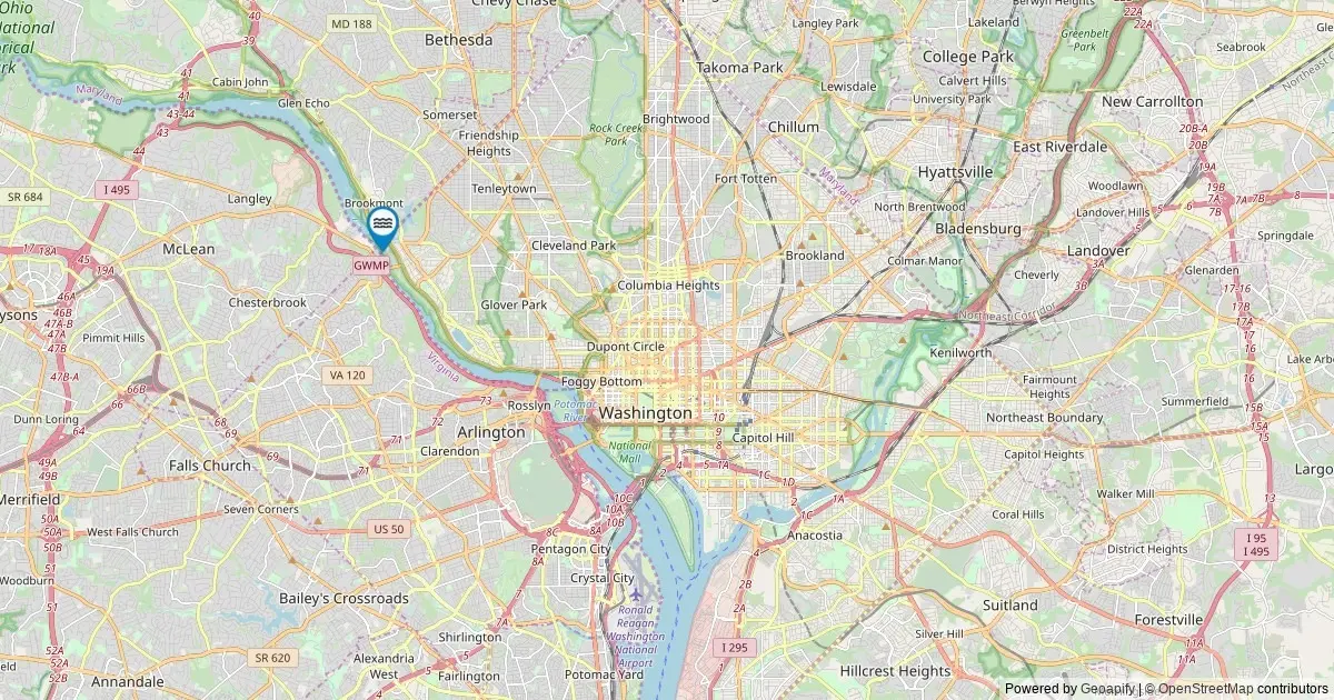
WASHINGTON — An extensive survey of federal geographic records has highlighted the unique place of the District of Columbia within the nation’s natural landscape. According to official records maintained by the U.S. Geological Survey, the federal district is home to exactly one officially named waterfall. This singular natural feature places the nation’s capital at the 50th position in national rankings for cataloged waterfalls, representing a small but distinct element of the city’s geographic identity.
The data, extracted from the U.S. Geological Survey’s Geographic Names Information System, offers a comprehensive overview of named hydrological features across the United States. While larger, mountainous states boast hundreds or even thousands of cataloged falls, the District’s solitary inclusion underscores the urbanized and compact nature of the federal capital’s terrain, while acknowledging the historical and geographic recognition granted to its lone registered fall.
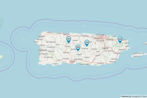
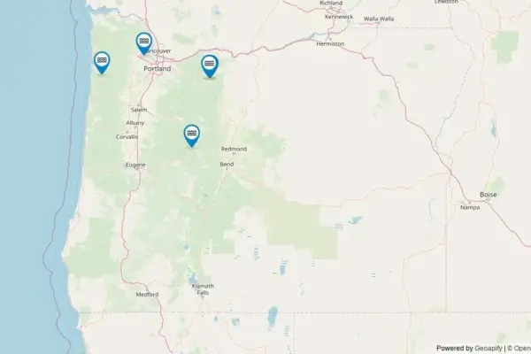
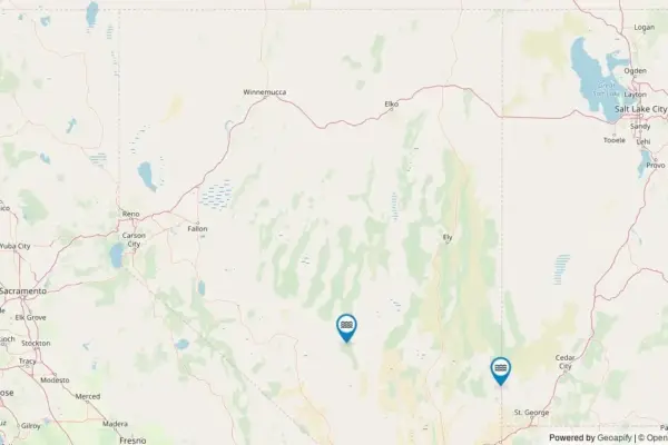
An interactive cartographic project tracking these water features provides localized mapping for every named fall identified by federal geographic standards. The mapping initiative plots precise coordinates established by federal agencies, offering public access to geographic data that highlights how urban geography interacts with natural water systems.
Mapping the Federal Capital’s Hydrological Geography
The mapping effort relies on precise spatial data sourced from the federal government to ensure that every officially recognized feature is accurately plotted. By tapping into federal cartographic records, the interactive mapping platform allows users to select individual map markers to retrieve detailed geographic profiles.
Each data profile accessible through the mapping interface provides essential identification parameters, including the official name of the fall, the corresponding county designation, and exact geographical coordinates. Beyond basic spatial coordinates, the system incorporates routing tools that provide driving directions to the primary access roads nearest to the feature, as well as direct deep links to the underlying U.S. Geological Survey record.
This digital cataloging effort provides a direct link between modern spatial mapping techniques and historic federal land documentation. For outdoor enthusiasts, geographic researchers, and local residents, the platform serves as an accessible bridge to understanding the exact placement of cataloged natural landmarks within urban and suburban boundaries.
Understanding the Data: The USGS Geographic Names Information System
The underlying foundation of this nationwide inventory is the U.S. Geological Survey’s Geographic Names Information System, commonly referred to as GNIS. Established in 1890, GNIS serves as the official federal standard for U.S. place names, maintaining authoritative control over the nomenclature of natural features, populated places, and public facilities across the nation and its territories.
The data utilized in the mapping platform was retrieved through a systematic query of The National Map’s ArcGIS REST service, conducted in May 2026. The search specifically targeted all geographical features designated under the official feature class of "Falls" situated within the boundaries of the District of Columbia.
Federal cataloging protocols require specific criteria for a water feature to achieve official named status within the GNIS registry. While hundreds of thousands of seasonal trickles, urban drainages, and unnamed cascades exist across the American landscape, only those features that have received formal historical recognition or administrative designation are recorded as named waterfalls in federal archives.
County Tally and Geographic Boundaries in the District
Because the District of Columbia operates under a unified municipal and district structure, the local county equivalent—District of Columbia County—contains the entirety of the jurisdiction’s cataloged falls. With a total count of one, District of Columbia County leads and completes the localized geographic tally for the area, with no secondary municipal divisions available to share the metric.
This single entry reflects the specialized geography of the nation’s capital. Built at the confluence of the Potomac and Anacostia rivers, much of the District’s topography consists of river terraces, coastal plains, and low-lying urban development. Unlike regions along the Appalachian Mountains or the Pacific Northwest, where steep gradient drops create dense concentrations of cataloged waterfalls, the District’s landscape features far fewer dramatic elevation changes necessary for major waterfall formation.
Nevertheless, the presence of an officially recognized fall within the federal tally highlights the persistence of natural hydrological features within heavily developed metropolitan areas. It serves as a reminder that cartographers have meticulously documented even solitary natural formations in highly urbanized environments.
Public Access, Land Management, and Visitor Regulations
Navigating to named waterfalls across the country involves a wide variety of land ownership structures and regulatory environments. In the District of Columbia and surrounding jurisdictions, named natural features typically sit on publicly accessible land managed by federal, district, or regional authorities, such as the National Park Service, state park systems, municipal parks, or public open space preserves.
Nationally, cataloged waterfalls may rest within National Forests, Bureau of Land Management tracts, state reserves, or municipal open spaces. However, certain named falls across the nation are situated on private land or within sovereign tribal territories, each governed by distinct entry rules and access restrictions.
Land managers and outdoor safety officials emphasize that visitors must verify land ownership and regulatory guidelines before embarking on trips to natural sites. Respecting property boundaries and adhering to public park rules is essential to preventing trespassing and preserving delicate natural habitats.
The driving directions integrated into the mapping platform direct visitors to the nearest public roadway or designated parking area associated with the feature. In many cases, reaching the actual vantage point of a waterfall requires a short to moderate hike along established footpaths. Visitors are advised to remain on marked trails to prevent soil erosion and protect surrounding vegetation.
Seasonal Dynamics and Ideal Conditions for Exploration
Hydrological flow rates for natural waterfalls fluctuate significantly throughout the year, driven by regional weather patterns, seasonal precipitation, and ambient temperatures. Understanding these natural cycles allows visitors to plan trips during optimal viewing windows.
Across the mid-Atlantic region and the District of Columbia, peak water flow typically occurs during the spring months. As winter snowpack melts upstream and seasonal spring rainfall saturates regional watersheds, river and stream volumes rise, creating the most forceful and dramatic waterfall displays of the year.
Conversely, late summer and early autumn usually bring lower water volumes as precipitation tapers off and higher ambient temperatures increase evaporation rates. Despite lower water flow, autumn visits often present ideal viewing conditions characterized by clearer stream waters and vibrant fall foliage framing the surrounding forest canopy.
In colder climates and higher elevations, winter brings a complete transformation to flowing water features. Dropping temperatures cause many waterfalls to freeze partially or entirely, forming impressive vertical ice structures that attract specialized winter hikers and outdoor photographers. Regardless of the season, visitors are encouraged to check local weather forecasts and stream conditions prior to departure.
Data Sources, Limitations, and Complementary Databases
While the federal GNIS database provides an accurate tally of officially recognized place names, it is important to distinguish between federal nomenclature archives and physical physical measurement databases. The USGS GNIS registry was designed primarily as a standardized naming repository rather than a physical measurement registry.
Consequently, GNIS records do not include physical metrics such as waterfall height, vertical drop, crest width, or volume rates. The official federal entry confirms the existence, location, name, and administrative status of a feature, but leaves physical parameters to specialized physical geography projects.
For researchers, cartographers, and outdoor enthusiasts seeking detailed structural metrics—such as whether a fall constitutes a plunge, cascade, or horsetail formation, or its exact vertical drop in feet—complementary resources like the World Waterfall Database provide comprehensive physical analysis.
Combining the official naming records of the U.S. Geological Survey with physical elevation datasets offers a complete picture of the nation’s hydrological landscape. As geographic mapping tools continue to evolve, the integration of public spatial data ensures that even the smallest natural features within urban centers like the District of Columbia remain documented, preserved, and accessible for public knowledge.