Skip to content
Breaking News
  • Decoding the Science of Water: How Hydrologists Use Advanced Technology to Manage Global Water Resources
  • Zipline Announces Quieter Drone Deliveries as Communities Raise Noise Concerns
  • Antarctic Sea Ice Hits Third-Lowest Winter Maximum on Record in 2026
Friday, October 30, 2026
Edition: U.S. International Login

Hack The Map

Month: September 2026

Travel Hacking and Digital Nomad

Madrid Tourism Board Releases Comprehensive Five-Day Itinerary Highlighting Art, Culture, and History in Spain’s Capital

September 20, 2026 Iffa Jayyana
Home to a population of approximately 3.5 million people, Madrid stands as the vibrant capital and largest city of Spain.…
Geolocation and Cybersecurity

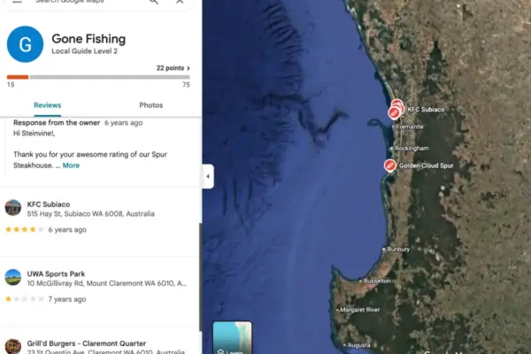
Australian Authorities Arrest Key Figures Behind Notorious Cybercrime Syndicate TeamPCP

September 20, 2026 Raul Delapena Setiawan
Authorities in Australia have arrested two men believed to be central figures in TeamPCP, a prolific cybercrime and data extortion…
Open Source Geospatial Software

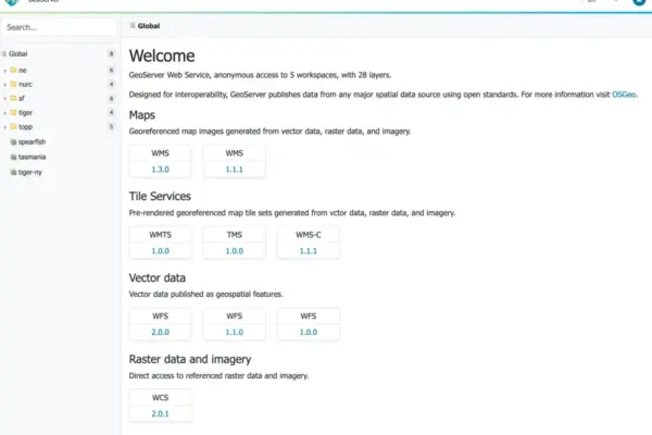
GeoServer 3.0.0 Officially Released, Marking a Major Milestone for Open Source Geospatial Software

September 20, 2026 Jia Lissa
The open-source geospatial community is celebrating a major milestone today with the official release of GeoServer 3.0.0. Available immediately for…
Disaster Response and Humanitarian Mapping

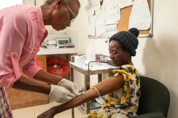
Haiti Humanitarian Fund and Partners Keep Vital Health Services Open Amid Escalating Violence in Port-au-Prince

September 20, 2026 Iffa Jayyana
PORT-AU-PRINCE — At the Centre de Santé de Jalousie, nestled within the bustling commune of Pétion-Ville on the outskirts of…
Transportation and Mobility Tech

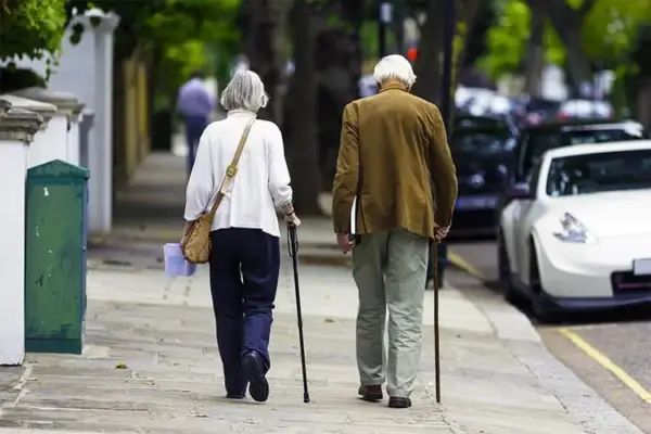
Mastering Mobility: A Comprehensive Guide to Selecting and Properly Using a Walking Cane

September 20, 2026 Muslim
Navigating the challenges of impaired mobility following knee surgery, an unexpected injury, or the gradual onset of age-related conditions often…
Data Visualization and Infographics

Navigating the Shift: How Analysts Are Using Artificial Intelligence to Choose and Prototype Effective Visualizations

September 20, 2026 Neng Nana
When it comes to presenting complex data, the choice of visual medium often dictates whether a message resonates or falls…
Data Visualization and Infographics

DataTalks.Club Expands Free Community-Driven Zoomcamps Covering Data Engineering, MLOps, and AI Development

September 20, 2026 Layla Zulfa
The landscape of professional tech education continues to evolve as open, community-driven learning platforms gain prominence over traditional, high-cost bootcamps.…
GIS and Spatial Technology

The Topography of Tradition: How Japan’s Rugged Geography Forged its Cultural Identity

September 20, 2026 Asep Darmawan
In the study of global civilizations, geography is rarely a passive backdrop. Instead, it acts as an active architect of…
Remote Sensing and Satellite Imagery

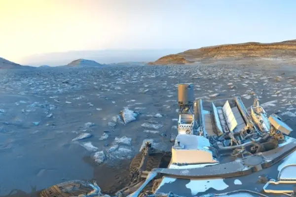
NASA’s Curiosity Rover Marks 5,000 Martian Days with a Striking ‘Postcard’ of the Red Planet

September 20, 2026 Laily UPN
PASADENA, California — Resting quietly against the rugged, desert backdrop of a Martian sand ridge known affectionately as "Chocolatal," NASA’s…
Location Intelligence and Spatial Analytics

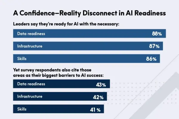
High Confidence, Hidden Risks: New Report Exposes the Disconnect Between AI Ambition and Enterprise Readiness

September 20, 2026 Suro Senen
Artificial intelligence has officially transitioned from a side initiative into a core force shaping enterprise data strategy in real time.…

Posts navigation

Older posts
Newer posts

Recent Posts

  • Decoding the Science of Water: How Hydrologists Use Advanced Technology to Manage Global Water Resources
  • Zipline Announces Quieter Drone Deliveries as Communities Raise Noise Concerns
  • Antarctic Sea Ice Hits Third-Lowest Winter Maximum on Record in 2026
  • Federal Regulatory Overhaul Set to Transform Manufactured Housing and Expand Affordability Options
  • Stalemate in the Gulf: Why a Regional Cease-Fire May Be the Only Way Out of the U.S.-Iran Conflict

Recent Comments

No comments to show.

Archives

  • October 2026
  • September 2026
  • August 2026

Categories

  • Data Visualization and Infographics
  • Disaster Response and Humanitarian Mapping
  • Drone Mapping and Aerial Photography
  • Environmental and Climate Mapping
  • Geography and Earth Science
  • Geolocation and Cybersecurity
  • Geopolitics and Map News
  • GIS and Spatial Technology
  • Location Intelligence and Spatial Analytics
  • Open Data and Civic Tech
  • Open Source Geospatial Software
  • OpenStreetMap and Community Mapping
  • Remote Sensing and Satellite Imagery
  • Transportation and Mobility Tech
  • Travel Hacking and Digital Nomad
  • Urban Planning and Smart Cities
  • Web Mapping and Cartography

© 2026 Hack The Map. All rights reserved.

Theme: The Original by Rifan Muazin.