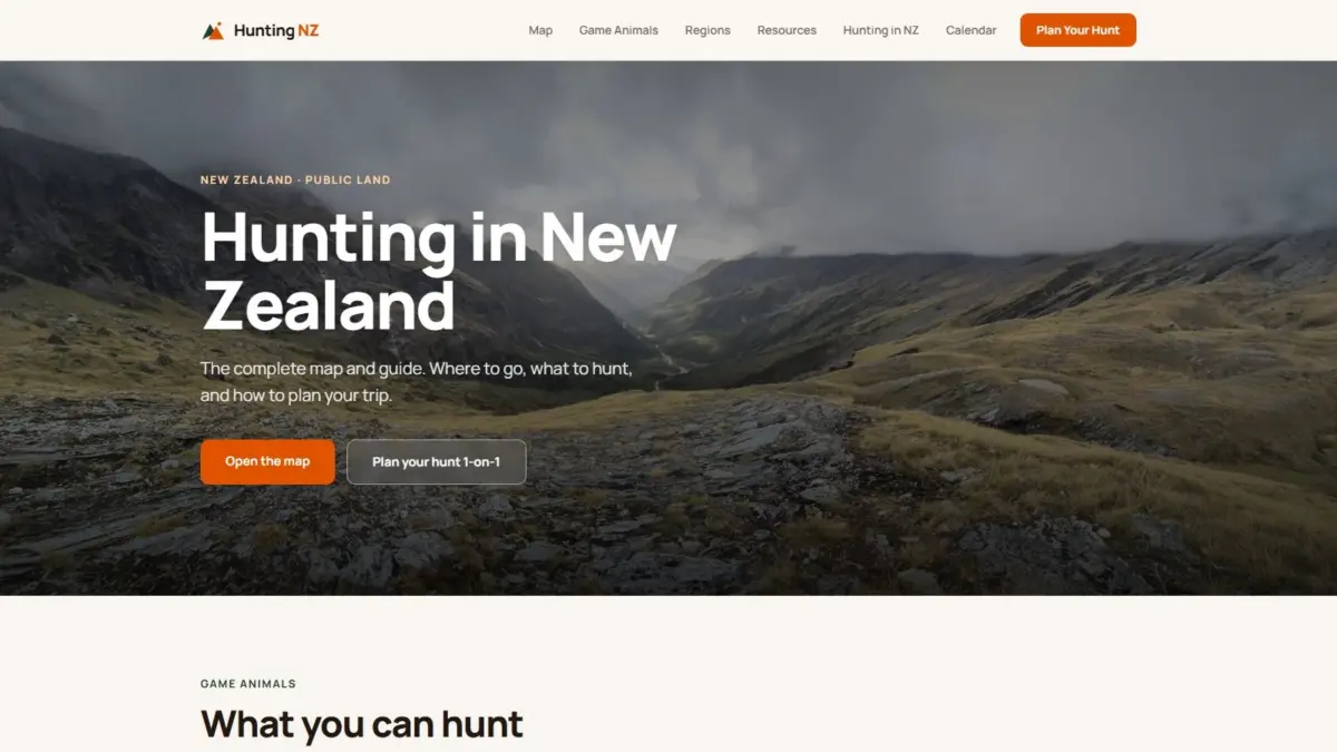
A newly developed digital mapping platform, Hunting NZ, has introduced a unified spatial visualization system designed to help outdoor enthusiasts, hunters, and land users navigate the complex landscape of legal hunting in New Zealand. By combining authoritative open data from core government agencies into a single, highly detailed interactive map, the platform resolves long-standing questions regarding public access boundaries, legal hunting zones, backcountry infrastructure, and wildlife distribution across the country’s varied topography.
Navigating the vast expanse of New Zealand’s wilderness requires clear comprehension of administrative boundaries, terrain difficulty, and environmental regulations. Outdoor participants frequently face the challenge of cross-referencing multiple disparate sources to verify whether a specific parcel of land is legally open for hunting, what permits or licenses are required, and what physical conditions exist on the ground. The Hunting NZ interactive portal directly addresses these challenges by aggregating critical spatial datasets onto a standardized interface, offering users an all-in-one visual resource capable of rendering environments in traditional topographic view, aerial imagery, hillshade, or dynamic three-dimensional terrain models.
At the core of the platform is an integration of official public geographic records supplied by major state authorities, including Land Information New Zealand (LINZ), the Department of Conservation (DOC), and the Walking Access Commission. By ingesting and harmonizing spatial information directly from these baseline institutions, the tool provides an accurate, central digital baseline. Land Information New Zealand serves as the national authority for geographic location data, mapping, and land titles, ensuring that spatial basemaps and property designations maintain foundational accuracy. Meanwhile, data from the Department of Conservation supplies vital administrative overlays concerning protected public conservation lands, specialized management reserves, and active operational zones. The inclusion of dataset streams from the Walking Access Commission adds vital clarity regarding legal public access pathways, unformed legal roads, and land access rights across rural boundaries, helping users avoid accidental trespass onto private property.
The interactive cartographic design provides users with multi-layered control over how geographical data is displayed and analyzed. Depending on the specific planning needs of an excursion, users can switch between standard topographic basemaps—which emphasize contours, elevation markers, and geographical features—and high-resolution aerial imagery that reveals actual canopy cover, vegetation density, and open clearings. To assist in understanding the physical profile of rugged landscapes, the system incorporates hillshade rendering, a technique that simulates light and shadow across digital elevation models to accentuate ridges, gullies, and landform contours. For even greater spatial context, the platform offers a full three-dimensional terrain mode, enabling users to visually evaluate vertical changes in altitude, steepness, and slope profiles before setting foot in the field.
Beyond pure cartographic visualization, the platform embeds functional operational layers designed to support logistical planning and safety in remote areas. Users can toggle layers depicting public conservation land boundaries alongside designated hunting blocks, making it immediately transparent where recreational hunting is permitted under established management regimes. The map also maps out established walking tracks and backcountry huts, providing vital structural context for route planning, multi-day excursions, and emergency shelter locations.
In addition to infrastructure and boundaries, the platform incorporates real-time and operational environmental layers, notably active pest-control operations. In New Zealand’s conservation management framework, animal pest-control measures—such as trapping programs or aerial control operations—are routinely conducted across public lands to protect native biodiversity and fragile ecosystems. Displaying active pest-control operations directly alongside hunting blocks allows hunters to stay informed about ongoing environmental management activities, ensuring higher operational awareness and safety when selecting locations.
Complementing its geographic boundaries and infrastructure features, Hunting NZ features dedicated species distribution mapping. The platform translates biological data into spatial layers, illustrating where major target species are found across different land blocks and ecological zones. This provides clear visual context regarding the regional presence and territorial range of primary game animals throughout the North and South Islands.
To complement the spatial mapping engine, the platform includes a comprehensive library of informational guides and educational resources tailored to each specific game species found throughout New Zealand’s wilderness. Detailed profile breakdowns cover key species including red deer, Himalayan tahr, chamois, sika deer, and wapiti, alongside other established game species. These individual animal guides offer foundational information regarding species distribution, habitat preferences, behavior, and physical characteristics, allowing users to connect mapping layers directly with biological context.
The digital ecosystem extends beyond individual species profiles to provide systematic region-by-region breakdowns across New Zealand. Because geographical terrain, weather patterns, forest types, and access conditions vary dramatically between different regional sectors—ranging from the dense bush clad hills of the North Island to the high-alpine, glaciated environments of the Southern Alps—the regional guides break down local hunting considerations, entry routes, and unique land management rules specific to each geographic district.
To assist with operational timing and regulatory compliance, the platform incorporates a structured hunting calendar alongside centralized licensing information. Understanding seasonal variations, breeding cycles, and legal open seasons is essential for compliant backcountry usage. The hunting calendar outlines important seasonal periods across different regions and species, helping users align their trips with appropriate times of the year. Concurrently, the built-in licensing and permitting frameworks outline the specific legal permits required by the Department of Conservation and other regulatory bodies, guiding users through the necessary compliance steps required before entering public conservation land.
The creation and technical vision behind the platform stem from Daniel O’Donohue, a geospatial specialist who serves as the voice and creator behind The MapScaping Podcast, an established media resource dedicated to the geospatial community. Drawing upon a professional background in geographic information systems (GIS) and spatial analysis, O’Donohue developed the tool to apply practical spatial technology toward solving complex spatial challenges in outdoor recreation.
O’Donohue’s work across the geospatial sector has consistently focused on harnessing spatial data to unravel complex real-world environments, translating technical datasets into intuitive, accessible platforms for broader communities. By synthesizing technical GIS data layers from state institutions into a clean, consumer-facing web platform, the initiative demonstrates how complex environmental, administrative, and topological data can be restructured into a practical tool for outdoor navigation, conservation awareness, and regulatory compliance across New Zealand.