Skip to content
Breaking News
  • Breaking Barriers and Defining Strategy: Aakansha Bhalotia’s 13-Year Journey in Tech Leadership
  • Amazon Drone Delivery Plan Faces State Review as Massachusetts Residents Organize
  • Deep Beneath the Ocean, One of Earth’s Most Powerful Supervolcanoes Is Slowly Recharging
Friday, October 23, 2026
Edition: U.S. International Login

Hack The Map

Category: Web Mapping and Cartography

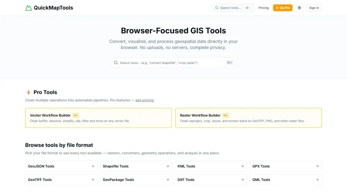
New Browser-Based GIS Toolset QuickMapTools Leverages WebAssembly for Private, Client-Side Spatial Data Processing

In an era where geographic information system (GIS) workflows increasingly rely on either heavy desktop software suites or remote cloud platforms that require uploading data to third-party servers, a new web-driven solution has emerged to streamline spatial data tasks directly…
Siti Muinah • September 22, 2026

GeoHound Chrome Extension Automates Web Map Layer Discovery and In-Browser GIS Processing

September 22, 2026
A new browser-based tool named GeoHound has been introduced to streamline how geospatial professionals, researchers, and map enthusiasts discover and…

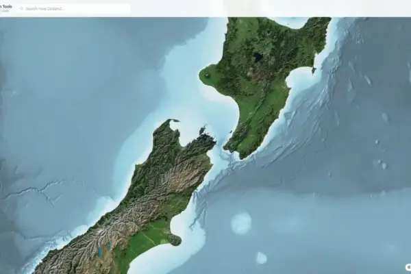
New Interactive Mapping Platform Streamlines Navigation, Regulations, and Wildlife Tracking for Hunting Across New Zealand

September 10, 2026
A newly developed digital mapping platform, Hunting NZ, has introduced a unified spatial visualization system designed to help outdoor enthusiasts,…

New Web Application Brings High-Precision LINZ LiDAR Data to Browser-Based Terrain Mapping Across New Zealand

September 9, 2026
A new browser-based geospatial application, NZ Elevation Tools, has been launched to make New Zealand’s high-resolution elevation data instantly accessible…

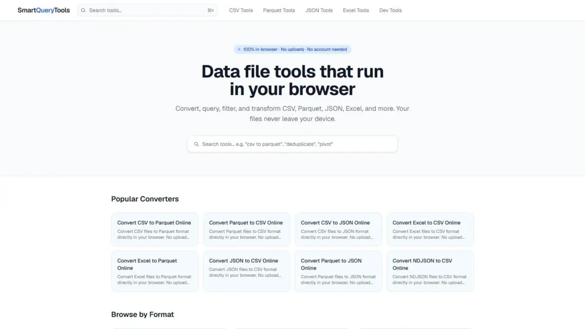
SmartQueryTools Launches Suite of In-Browser Data Processing and SQL Utilities Powered by WebAssembly

August 15, 2026
A new collection of web-based data utilities known as SmartQueryTools has been introduced, offering hundreds of free processing applications designed…

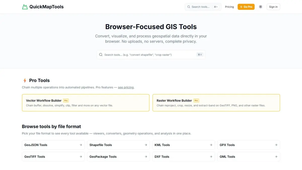
QuickMapTools Introduces WebAssembly Platform for Private, In-Browser Geospatial Data Processing and Workflow Automation

August 15, 2026
A new web-based geospatial processing tool, QuickMapTools, has emerged to provide broad spatial data operations entirely within modern web browsers…

Posts navigation

Newer posts

Recent Posts

  • Breaking Barriers and Defining Strategy: Aakansha Bhalotia’s 13-Year Journey in Tech Leadership
  • Amazon Drone Delivery Plan Faces State Review as Massachusetts Residents Organize
  • Deep Beneath the Ocean, One of Earth’s Most Powerful Supervolcanoes Is Slowly Recharging
  • Transportation Costs Fuel U.S. Inflation, Reshaping Travel and Household Budgets
  • The High-Stakes Energy War: How Ukraine and Russia Are Adapting as Winter Approaches

Recent Comments

No comments to show.

Archives

  • October 2026
  • September 2026
  • August 2026

Categories

  • Data Visualization and Infographics
  • Disaster Response and Humanitarian Mapping
  • Drone Mapping and Aerial Photography
  • Environmental and Climate Mapping
  • Geography and Earth Science
  • Geolocation and Cybersecurity
  • Geopolitics and Map News
  • GIS and Spatial Technology
  • Location Intelligence and Spatial Analytics
  • Open Data and Civic Tech
  • Open Source Geospatial Software
  • OpenStreetMap and Community Mapping
  • Remote Sensing and Satellite Imagery
  • Transportation and Mobility Tech
  • Travel Hacking and Digital Nomad
  • Urban Planning and Smart Cities
  • Web Mapping and Cartography

© 2026 Hack The Map. All rights reserved.

Theme: The Original by Rifan Muazin.