Skip to content
Breaking News
  • Breaking Barriers and Defining Strategy: Aakansha Bhalotia’s 13-Year Journey in Tech Leadership
  • Amazon Drone Delivery Plan Faces State Review as Massachusetts Residents Organize
  • Deep Beneath the Ocean, One of Earth’s Most Powerful Supervolcanoes Is Slowly Recharging
Friday, October 23, 2026
Edition: U.S. International Login

Hack The Map

Category: Web Mapping and Cartography

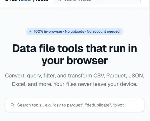
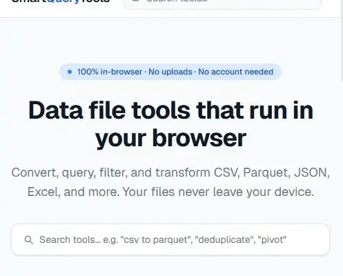
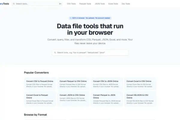
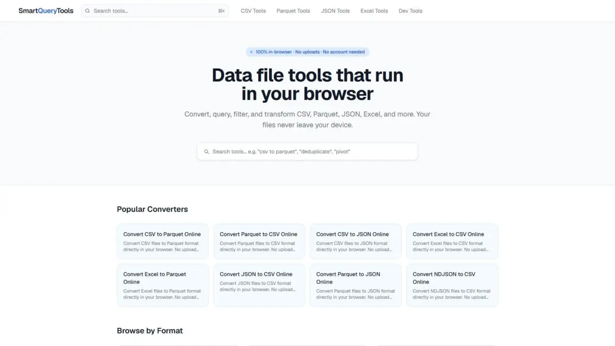
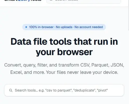
SmartQueryTools Releases WebAssembly-Powered Suite for Private, In-Browser Data Processing and File Conversion

A new browser-native platform called SmartQueryTools has launched, offering data professionals, analysts, and developers a comprehensive collection of hundreds of free web-based utilities designed to process, convert, and query data files entirely within the web browser without installing additional software.…
Dwi Wanna • September 30, 2026

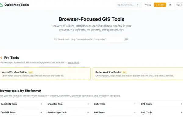
QuickMapTools Launches WebAssembly-Powered Browser GIS Solution for Private, On-Device Spatial Data Processing

September 30, 2026
Geospatial specialist Daniel O’Donohue, creator and host of The MapScaping Podcast, has announced the launch of QuickMapTools, a browser-focused platform…
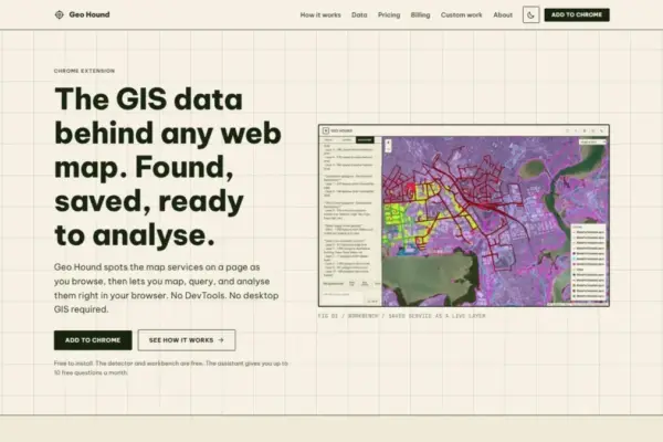
New GeoHound Chrome Extension Automatically Detects 29 Web Map Data Formats and Adds In-Browser GIS Capabilities

September 29, 2026
In the modern digital ecosystem, interactive web maps are ubiquitous across municipal portals, research platforms, environmental tracking sites, and news…

Understanding Voronoi Diagrams: How Classic Spatial Partitioning Is Moving to Browser-Based Processing

September 27, 2026
Spatial analysis has long rested on a foundational question: given a collection of known locations across a landscape, which specific…

Navigating UTM Coordinate Conversions: Resolving the Hidden Complexity of Spatial Data Alignment

September 27, 2026
To anyone reviewing raw geographic data, Universal Transverse Mercator (UTM) coordinates present a reassuring picture of mathematical precision. A string…

The Silent Data Hazard in Geospatial Workflows: Navigating Mismatched Direction Conventions

September 27, 2026
In spatial data engineering, few issues cause quieter yet more damaging data bugs than conflicting direction conventions. A field surveyor’s…

Navigating OpenStreetMap Extraction: How GIS Analysts Streamline Workflows from Massive Datasets to Usable Layers

September 26, 2026
OpenStreetMap stands today as the largest and most detailed open geographic database in existence, capturing everything from worldwide transit networks…

Interactive Mapping Platform Synthesizes New Zealand Spatial Data to Clarify Legal Hunting Lands and Species Distributions

September 25, 2026
Navigating the vast and rugged backcountry of New Zealand presents a dual challenge for outdoor enthusiasts and hunters: determining precise…

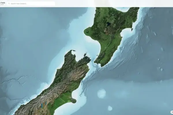
New NZ Elevation Tools Web Viewer Offers Instant Browser-Based Access to Detailed LINZ LiDAR Terrain Data

September 23, 2026
A new web-based spatial application named NZ Elevation Tools has been launched, offering streamlined interactive access to New Zealand’s national…

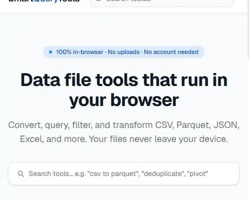
SmartQueryTools Launches WebAssembly-Powered Suite for Local Browser Data Processing and SQL Querying

September 23, 2026
SmartQueryTools, a web-based suite featuring hundreds of free data-file manipulation utilities, has launched to provide privacy-focused data processing, format conversion,…

Posts navigation

Older posts
Newer posts

Recent Posts

  • Breaking Barriers and Defining Strategy: Aakansha Bhalotia’s 13-Year Journey in Tech Leadership
  • Amazon Drone Delivery Plan Faces State Review as Massachusetts Residents Organize
  • Deep Beneath the Ocean, One of Earth’s Most Powerful Supervolcanoes Is Slowly Recharging
  • Transportation Costs Fuel U.S. Inflation, Reshaping Travel and Household Budgets
  • The High-Stakes Energy War: How Ukraine and Russia Are Adapting as Winter Approaches

Recent Comments

No comments to show.

Archives

  • October 2026
  • September 2026
  • August 2026

Categories

  • Data Visualization and Infographics
  • Disaster Response and Humanitarian Mapping
  • Drone Mapping and Aerial Photography
  • Environmental and Climate Mapping
  • Geography and Earth Science
  • Geolocation and Cybersecurity
  • Geopolitics and Map News
  • GIS and Spatial Technology
  • Location Intelligence and Spatial Analytics
  • Open Data and Civic Tech
  • Open Source Geospatial Software
  • OpenStreetMap and Community Mapping
  • Remote Sensing and Satellite Imagery
  • Transportation and Mobility Tech
  • Travel Hacking and Digital Nomad
  • Urban Planning and Smart Cities
  • Web Mapping and Cartography

© 2026 Hack The Map. All rights reserved.

Theme: The Original by Rifan Muazin.