Skip to content
Breaking News
  • UNEP Emissions Gap Report: Temporary 1.5C Breach ‘Inevitable’ After Decades of Insufficient Action
  • Surging Wholesale Gas Costs Drive Vast Majority of UK Household Energy Bills, New Analysis Reveals
  • New Web Tool GeoHound Automates Spatial Data Discovery and Browser-Based GIS Analysis
Thursday, October 22, 2026
Edition: U.S. International Login

Hack The Map

Category: Drone Mapping and Aerial Photography

Beyond the Drone and Dock: Major Industry Players Form Coalition to Build Comprehensive U.S. Autonomous Operations Systems

The landscape of uncrewed aerial systems is undergoing a fundamental transformation, moving away from isolated hardware deployments toward fully integrated operational ecosystems. In a significant step toward realizing this vision for the United States market, a new international collaboration has…
Basiran • September 25, 2026

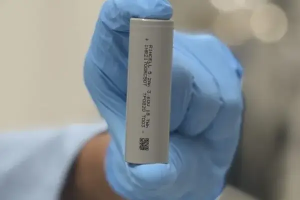
Rincell Debuts High-Performance RC50T Drone Battery Cell at DroneX in London

September 25, 2026
LONDON — U.S. battery cell manufacturer Rincell is making its official European debut at the upcoming DroneX exhibition, bringing its…
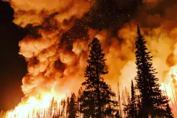
Fire Foresight and AURA Foresight Team Secure $500,000 XPRIZE Wildfire Award for Autonomous Detection and Response

September 25, 2026
The international intersection of artificial intelligence, robotics, and bushfire management achieved a major milestone on September 24, 2026, when the…

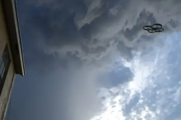
Beyond Observation: Why Atmospheric Drones Are Reshaping Cloud Seeding and Meteorology

September 24, 2026
Commercial drones have long established their utility by observing the world below our feet. Across industries ranging from real estate…

Army Drone Magnet Deal Raises a Bigger Question: When Can the Supply Chain Be Fully Domestic?

September 24, 2026
The United States military’s ongoing push to secure a fully domestic defense manufacturing ecosystem has reached a critical milestone, though…

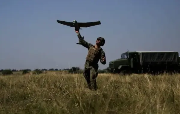
Ukraine Prepares to Sign Landmark Drone Defense Agreement with United States, Expanding Global Technology Partnerships

September 23, 2026
Ukraine is on the verge of finalizing a significant drone defense agreement with the United States, according to recent reports.…

EagleNXT Fulfills Major U.S. Army Contract with Delivery of Domestic-Built Drones to Fort Irwin

September 23, 2026
The company’s advanced facility in Allen, Texas, successfully delivers nine eBee VISION drone kits to the National Training Center while…

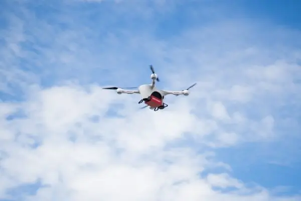
Matternet Makes History as First Publicly Traded Pure-Play Drone Delivery Company with OTCQB Debut

September 23, 2026
Mountain View, California-based drone delivery pioneer Matternet has officially taken its place on the public markets. The company’s common stock…

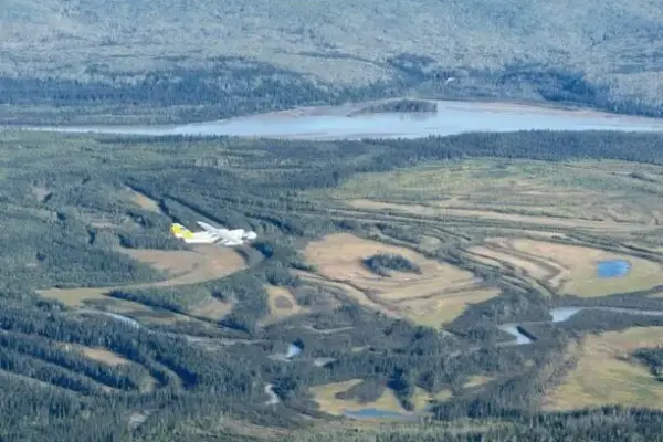
Alaska Drone Program Flies Blood Samples 1,000 Kilometers for Olympic Anti-Doping Agency

September 22, 2026
In a significant milestone for both long-range aviation and international sports regulation, Alaska’s premier drone research program has successfully completed…

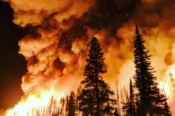
Unauthorized Drones Disrupt Aerial Firefighting Operations During California’s Timber Fire, Highlighting a Growing National Safety Crisis

September 22, 2026
By DRONELIFE Features Editor Jim Magill The escalating crisis of unauthorized drone interference in restricted airspace has struck yet again,…

Posts navigation

Older posts
Newer posts

Recent Posts

  • UNEP Emissions Gap Report: Temporary 1.5C Breach ‘Inevitable’ After Decades of Insufficient Action
  • Surging Wholesale Gas Costs Drive Vast Majority of UK Household Energy Bills, New Analysis Reveals
  • New Web Tool GeoHound Automates Spatial Data Discovery and Browser-Based GIS Analysis
  • From ERP Systems to AI Strategy: Inside Aakansha Bhalotia’s 13-Year Tech Journey at Precisely
  • University of Cincinnati Engineers Use Sound to Detect Drone Damage for NASA

Recent Comments

No comments to show.

Archives

  • October 2026
  • September 2026
  • August 2026

Categories

  • Data Visualization and Infographics
  • Disaster Response and Humanitarian Mapping
  • Drone Mapping and Aerial Photography
  • Environmental and Climate Mapping
  • Geography and Earth Science
  • Geolocation and Cybersecurity
  • Geopolitics and Map News
  • GIS and Spatial Technology
  • Location Intelligence and Spatial Analytics
  • Open Data and Civic Tech
  • Open Source Geospatial Software
  • OpenStreetMap and Community Mapping
  • Remote Sensing and Satellite Imagery
  • Transportation and Mobility Tech
  • Travel Hacking and Digital Nomad
  • Urban Planning and Smart Cities
  • Web Mapping and Cartography

© 2026 Hack The Map. All rights reserved.

Theme: The Original by Rifan Muazin.