Since it first achieved widespread commercial adoption in the 1980s, Global Positioning System (GPS) technology has quietly woven itself into the fabric of modern civilization. From guiding passenger cars along suburban roads to coordinating the complex logistics of oceangoing cargo ships and directing the flight paths of advanced commercial and military drones, society has grown overwhelmingly dependent on those familiar blue dots provided by orbiting satellites.
Yet, this near-universal reliance has exposed a profound structural vulnerability. What happens when those vital satellite signals are abruptly blocked by dense urban landscapes, rugged geological formations, or—most concerningly—the deliberate deployment of electronic jamming and spoofing technologies by hostile actors?
It was precisely this critical vulnerability that inspired the founding six years ago of Skyline Nav AI. Based in the Boston area, this burgeoning startup specializes in producing low-cost, GPS-independent visual positioning and navigation software tailored specifically for the defense and public safety sectors.
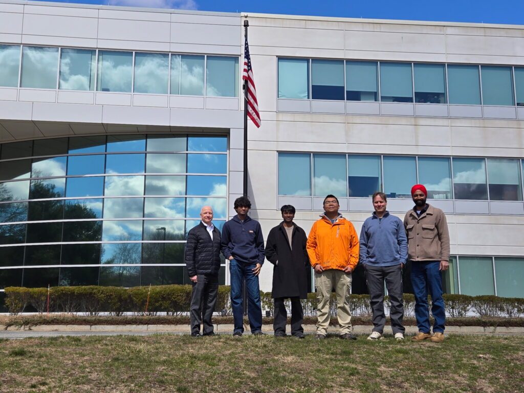
Kanwar Singh, the company’s chief executive officer and a captain in the Massachusetts Army National Guard, understands these risks intimately. Having observed the operational limitations of satellite-based navigation across various global hotspots, Singh launched the enterprise in 2020 after receiving an urgent inquiry from the Pentagon. U.S. defense officials were seeking an effective solution to a rapidly escalating problem: adversaries were increasingly disrupting the GPS guidance systems of American military assets.
Reflecting on the early days of the venture, Singh notes that the scale of the electronic warfare threat was largely hidden from the general public at the time. While jamming operations were already proving to be a significant hurdle during conflicts in the Middle East, including operations in Iraq and Afghanistan, the issue had not yet entered mainstream discourse.
As battlefield tactics continued to evolve, however, the reliance on unmanned aerial vehicles (UAVs) surged dramatically in conflicts ranging from Eastern Europe to the Middle East. Consequently, the threat of GPS-denial attacks transformed from a specialized tactical hurdle into an acute operational crisis. When the war in Ukraine broke out, GPS jamming instantly became a critical factor, severely impacting Ukrainian forces and forcing military strategists to rethink how unmanned systems operate under hostile electronic suppression.
This shifting global landscape prompted Skyline Nav AI to pivot decisively toward the drone sector, focusing heavily on achieving true GPS independence for unmanned platforms. Since its inception, the company has successfully attracted a diverse roster of clients spanning the military, research, and public safety domains. Its growing list of partners and customers includes heavyweights such as the U.S. Air Force, the U.S. Army, NASA, BAE Systems, the Kearfott Corporation, MassChallenge, MIT, and Cornell University.
Non-GPS Software and Hardware Solutions
To solve the puzzle of navigation in contested or obstructed environments, Skyline Nav AI’s technology takes a cue from human perception and terrestrial autonomous vehicle development. The company’s drone-guidance architecture relies on onboard cameras that continuously scan the terrain below, working in tandem with inertial sensors to accurately calculate the UAV’s precise location and flight path, even when operating dozens or hundreds of miles away from the nearest human operator.
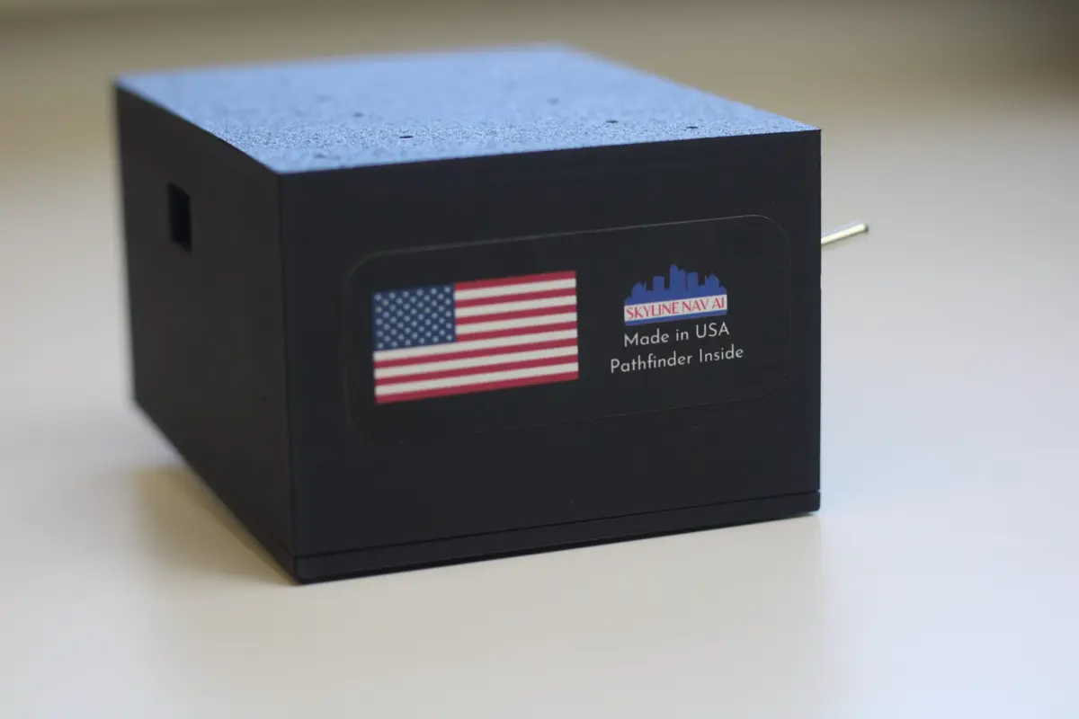
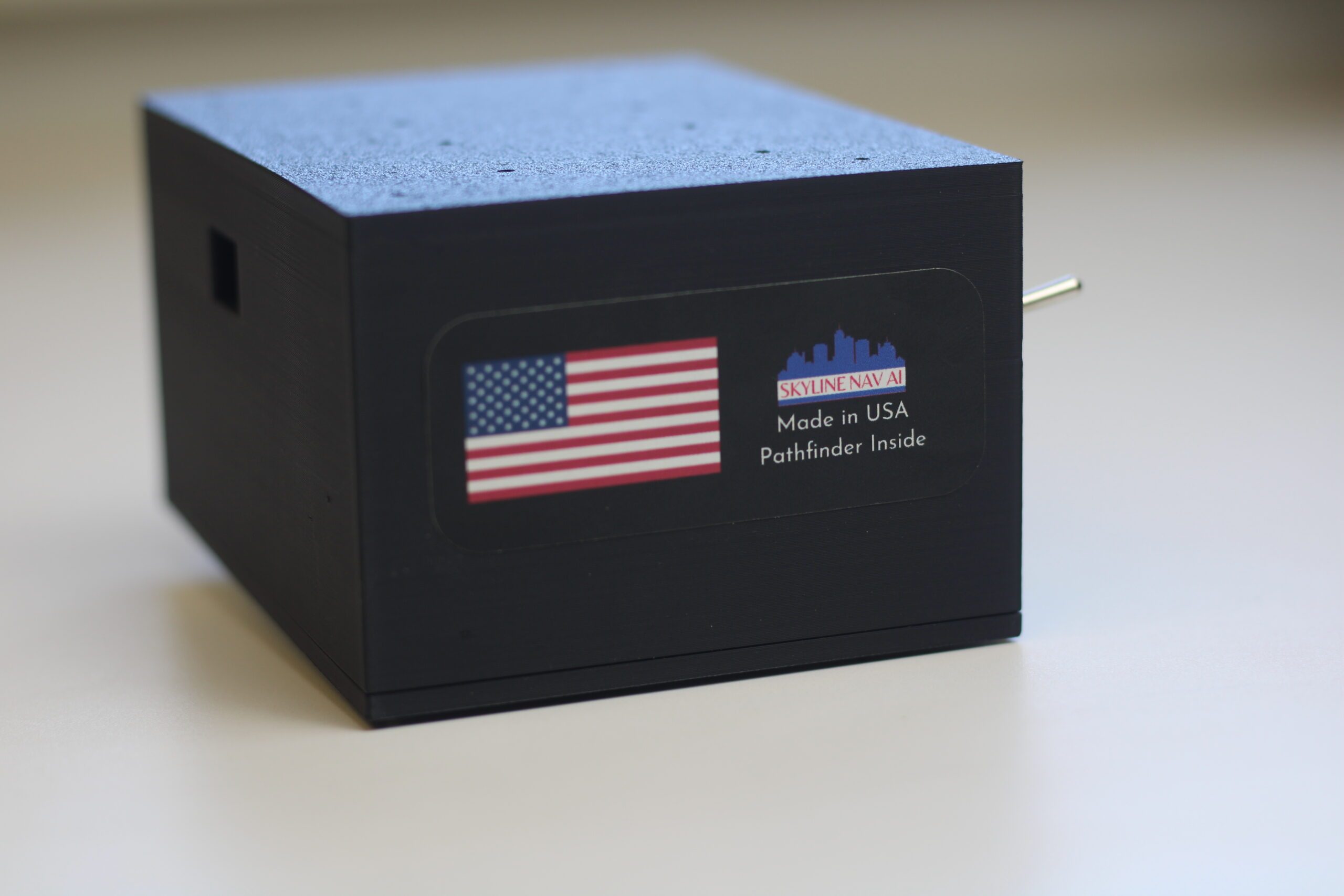
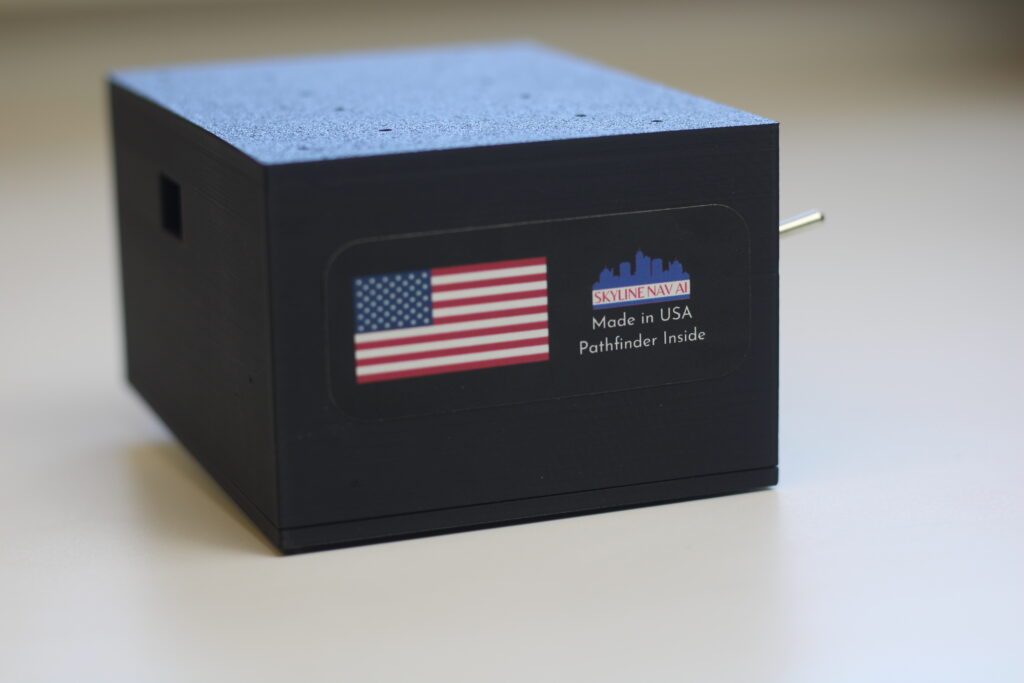
At the core of this capability is the company’s flagship Pathfinder series. Designed to deliver advanced computer vision and machine learning features within a remarkably lightweight and affordable unit, Pathfinder is engineered to transform standard aerial platforms into intelligent systems.
As Singh describes it simply, the goal is to make a "dumb drone smart."
The Pathfinder system is offered in both software and hardware formats to accommodate diverse operational needs. On the software front, organizations can license the technology directly and integrate it onto their existing proprietary hardware platforms. Meanwhile, the hardware iteration takes the form of a plug-and-play module that can be easily connected to drones, traditional aircraft, or even ground-based vehicles, instantly enabling reliable positioning data without relying on satellite links.
Operating out of its dedicated manufacturing facility in Massachusetts, the company currently has the capacity to produce up to 10,000 Pathfinder units per month. With a per-unit price point starting as low as $1,000, the firm has deliberately chosen a measured, methodical approach to scaling its operations. Rather than pursuing rapid expansion purely for the sake of growth, leadership remains cautious about the security implications of its intellectual property.
This cautious stance is deeply rooted in the company’s defense-sector origins. Skyline Nav AI places a high premium on sourcing U.S.-made components whenever feasible, ensuring compliance with strict National Defense Authorization Act (NDAA) requirements, even though domestic materials frequently come at a higher financial cost compared to foreign alternatives.
Maintaining a secure value chain does not come without operational challenges. Long lead times remain a persistent hurdle for essential high-tech components, such as specialized computing units, high-resolution cameras, and advanced inertial sensors. To navigate these supply chain bottlenecks, the company collaborates with a trusted network of suppliers. While the firm retains the flexibility to work with more economical, non-compliant parts if a specific customer explicitly requests it, adhering to strict NDAA standards remains the core corporate preference.
In active military deployments, Skyline’s technology has proven instrumental for precise targeting and tracking missions carried out within GPS-denied zones. In the commercial sphere, the same underlying visual positioning capabilities offer immense value by delivering accurate latitude and longitude coordinates in environments where satellite coverage is notoriously spotty, ranging from remote, mountainous rural areas to the dense "concrete canyons" of major urban centers.
At a conceptual level, the technology functions much like the camera-based guidance systems utilized by self-driving car developers like Waymo and Tesla. By interpreting visual data from the surrounding environment rather than relying exclusively on invisible satellite signals from space, these platforms can successfully navigate from point A to point B autonomously.
Looking ahead, the leadership team at Skyline Nav AI maintains ambitious long-term objectives for the expansion of the business. The ultimate mission is to ensure that every single platform operating in the air, on land, or at sea that currently depends on vulnerable satellite signals can be retrofitted to become fully GPS-independent and autonomous. In the view of the company’s leadership, continued reliance on traditional satellite navigation represents an unacceptable systemic risk for both national security and allied operations, a challenge the startup intends to solve one platform at a time.