Geopolitics and Map News From Aid to Trade: The New Global Scramble for Africa’s Economic Future October 7, 2026 Pevita Pearce Last year, U.S. President Donald Trump told a group of African leaders that the United States would be shifting its…
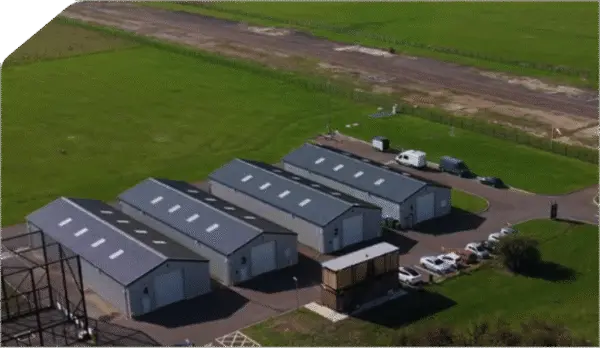
Drone Mapping and Aerial Photography Satellite Applications Catapult Announces National Drone Testing Center at Westcott October 7, 2026 Pevita Pearce The United Kingdom’s burgeoning commercial drone and autonomous systems industry is set to receive a major infrastructure boost following an…
Drone Mapping and Aerial Photography Smarter Drone Searches May Require Less Replanning, Not More October 6, 2026 Pevita Pearce For an autonomous drone searching for a missing person across a sprawling wilderness, new information can change the mission in…
Travel Hacking and Digital Nomad Why One Cardholder Finally Swapped Their Legacy Chase Freedom for the Freedom Flex October 6, 2026 Pevita Pearce For nearly a decade, the legacy Chase Freedom card remained a staple in many consumer wallets. First acquired by long-term…
Open Source Geospatial Software GeoServer Announces Release 2.28.5 with Critical Maintenance Updates and Security Considerations October 6, 2026 Pevita Pearce The open-source geospatial community has a new software version to deploy as the GeoServer development team officially announces the immediate…
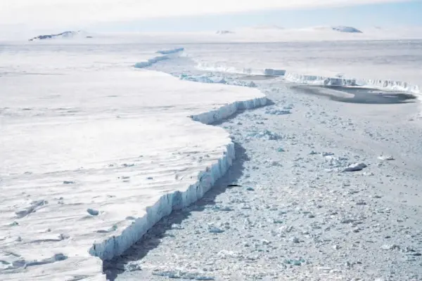
Environmental and Climate Mapping Antarctic Winter Sea Ice Hits Third-Smallest Extent on Record as Arctic Reaches Summer Minimum October 6, 2026 Pevita Pearce Antarctic sea ice has recorded its third-smallest winter peak extent since satellite observations began 48 years ago, according to new…
Location Intelligence and Spatial Analytics Making Trust a Design Principle: Why AI-Ready Data Products Require a Cultural and Architectural Shift October 5, 2026 Pevita Pearce Organizations across global industries have poured billions of dollars into modern data infrastructure over recent years. Enterprises have constructed sprawling…
Drone Mapping and Aerial Photography DHS Evaluates Counter-Drone Technology for State and Local Law Enforcement Amid Expanding Authorities October 3, 2026 Pevita Pearce As federal policy shifts to grant local agencies greater capabilities in airspace management, the Department of Homeland Security is taking…
Travel Hacking and Digital Nomad Maximizing Your Savings: The Best Rewards Credit Cards for Walmart Shopping October 3, 2026 Pevita Pearce Whether you are stocking up on weekly groceries, grabbing essential household supplies, or making a larger investment in electronics and…
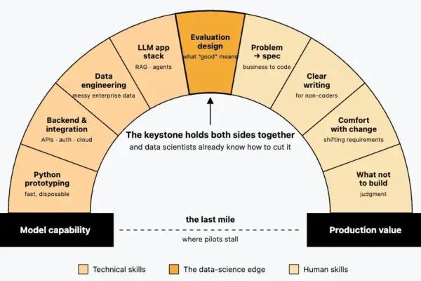
Data Visualization and Infographics The Rise of the Forward Deployed Engineer: How AI’s "Last-Mile" Bottleneck Sparked a Hiring Boom October 2, 2026 Pevita Pearce In January 2025, job listings on Indeed for a "forward deployed engineer" barely registered. By April 2026, however, postings for…