Skip to content
Breaking News
  • From Lead Pencils to Virtual Reality: How Modern Architects Blend Tradition and Technology to Design the Built World
  • GeoHound Launches as Browser-Based Solution for Automated Web GIS Detection and Spatial Analysis
  • Navigating Complexity and AI: Inside the Tech Journey of Precisely’s Aakansha Bhalotia
Saturday, October 31, 2026
Edition: U.S. International Login

Hack The Map

Author: Pevita Pearce

Geography and Earth Science

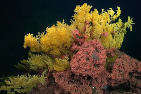
Deep-Sea Expedition Off Costa Rica Uncovers Striking New Coral Family Inspired by Tolkien’s Elvish Mythology

October 8, 2026 Pevita Pearce
Scientists surveying rugged underwater mountains off the coast of Costa Rica have made a remarkable and unexpected discovery in the…

Geopolitics and Map News

From Aid to Trade: The New Global Scramble for Africa’s Economic Future

October 7, 2026 Pevita Pearce
Last year, U.S. President Donald Trump told a group of African leaders that the United States would be shifting its…
Drone Mapping and Aerial Photography

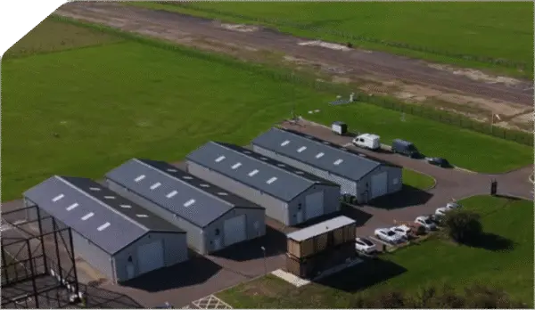
Satellite Applications Catapult Announces National Drone Testing Center at Westcott

October 7, 2026 Pevita Pearce
The United Kingdom’s burgeoning commercial drone and autonomous systems industry is set to receive a major infrastructure boost following an…
Drone Mapping and Aerial Photography

Smarter Drone Searches May Require Less Replanning, Not More

October 6, 2026 Pevita Pearce
For an autonomous drone searching for a missing person across a sprawling wilderness, new information can change the mission in…
Travel Hacking and Digital Nomad

Why One Cardholder Finally Swapped Their Legacy Chase Freedom for the Freedom Flex

October 6, 2026 Pevita Pearce
For nearly a decade, the legacy Chase Freedom card remained a staple in many consumer wallets. First acquired by long-term…
Open Source Geospatial Software

GeoServer Announces Release 2.28.5 with Critical Maintenance Updates and Security Considerations

October 6, 2026 Pevita Pearce
The open-source geospatial community has a new software version to deploy as the GeoServer development team officially announces the immediate…
Environmental and Climate Mapping

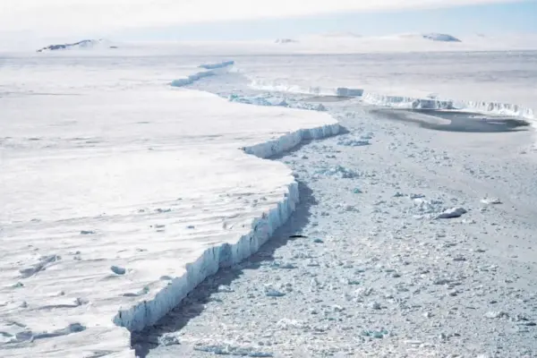
Antarctic Winter Sea Ice Hits Third-Smallest Extent on Record as Arctic Reaches Summer Minimum

October 6, 2026 Pevita Pearce
Antarctic sea ice has recorded its third-smallest winter peak extent since satellite observations began 48 years ago, according to new…
Location Intelligence and Spatial Analytics

Making Trust a Design Principle: Why AI-Ready Data Products Require a Cultural and Architectural Shift

October 5, 2026 Pevita Pearce
Organizations across global industries have poured billions of dollars into modern data infrastructure over recent years. Enterprises have constructed sprawling…
Drone Mapping and Aerial Photography

DHS Evaluates Counter-Drone Technology for State and Local Law Enforcement Amid Expanding Authorities

October 3, 2026 Pevita Pearce
As federal policy shifts to grant local agencies greater capabilities in airspace management, the Department of Homeland Security is taking…
Travel Hacking and Digital Nomad

Maximizing Your Savings: The Best Rewards Credit Cards for Walmart Shopping

October 3, 2026 Pevita Pearce
Whether you are stocking up on weekly groceries, grabbing essential household supplies, or making a larger investment in electronics and…

Posts navigation

Older posts
Newer posts

Recent Posts

  • From Lead Pencils to Virtual Reality: How Modern Architects Blend Tradition and Technology to Design the Built World
  • GeoHound Launches as Browser-Based Solution for Automated Web GIS Detection and Spatial Analysis
  • Navigating Complexity and AI: Inside the Tech Journey of Precisely’s Aakansha Bhalotia
  • FCC Touts Widespread Industry Support for Opening 800 MHz Cellular Spectrum to Drones Ahead of Key Vote
  • Restless Giants: Scientists Discover Fresh Magma Recharging Japan’s Devastating Kikai Caldera

Recent Comments

No comments to show.

Archives

  • October 2026
  • September 2026
  • August 2026

Categories

  • Data Visualization and Infographics
  • Disaster Response and Humanitarian Mapping
  • Drone Mapping and Aerial Photography
  • Environmental and Climate Mapping
  • Geography and Earth Science
  • Geolocation and Cybersecurity
  • Geopolitics and Map News
  • GIS and Spatial Technology
  • Location Intelligence and Spatial Analytics
  • Open Data and Civic Tech
  • Open Source Geospatial Software
  • OpenStreetMap and Community Mapping
  • Remote Sensing and Satellite Imagery
  • Transportation and Mobility Tech
  • Travel Hacking and Digital Nomad
  • Urban Planning and Smart Cities
  • Web Mapping and Cartography

© 2026 Hack The Map. All rights reserved.

Theme: The Original by Rifan Muazin.