Skip to content
Breaking News
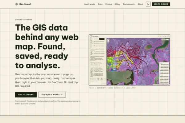
  • GeoHound Tool Launches as Chrome Extension to Instantly Detect, Analyze, and Process Web Map Data
  • From ERP Systems to AI Strategy: Inside Aakansha Bhalotia’s 13-Year Tech Journey at Precisely
  • Elistair Unveils Tethered Air Module for the Parrot ANAFI UKR to Enable Extended ISR Missions
Thursday, October 22, 2026
Edition: U.S. International Login

Hack The Map

Author: Nana Muazin

Location Intelligence and Spatial Analytics

Trust by Design: Why Modern Enterprises Are Rethinking Data Products for the Age of AI

October 7, 2026 Nana Muazin
Despite billions of dollars poured into modern data infrastructure—including enterprise data lakes, advanced data warehouses, sophisticated catalogs, cloud migrations, and…
Open Source Geospatial Software

GeoServer Announces Urgent Security Release 2.27.6 Amid End-of-Life Status for the Series

October 6, 2026 Nana Muazin
The GeoServer development team has officially announced the immediate availability of GeoServer version 2.27.6. This latest software update has been…
Web Mapping and Cartography

GeoHound Chrome Extension Automates Spatial Data Discovery and In-Browser Analysis for Web Maps

October 5, 2026 Nana Muazin
A new browser-based tool aimed at simplifying how geospatial professionals, researchers, and spatial analysts interact with web maps has officially…
Travel Hacking and Digital Nomad

Target Shoppers Urged to Maximize Savings and Rewards Ahead of Major Retail Events

October 5, 2026 Nana Muazin
Whether consumers are stocking up on weekly groceries, replenishing cleaning supplies, purchasing the latest electronics, or browsing for home goods,…
Open Data and Civic Tech

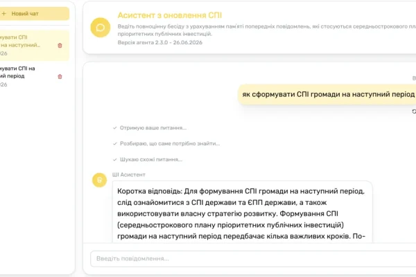
Ukraine Integrates Artificial Intelligence into DREAM Ecosystem to Accelerate Wartime Reconstruction

October 5, 2026 Nana Muazin
Over the past three years, even as hundreds of drones and missiles continue to target its cities on a weekly…
Geopolitics and Map News

Europe Faces Deepening Economic and Technological Divergence From the United States, Report Warns

October 4, 2026 Nana Muazin
At the turn of the century, the European Union’s labor productivity followed a steady upward trajectory, reaching nearly 95 percent…
Web Mapping and Cartography

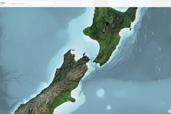
Web-Based Viewer Delivers High-Precision New Zealand LiDAR Data for Professionals and Outdoor Enthusiasts

October 1, 2026 Nana Muazin
Understanding exact terrain heights across New Zealand’s varied and often rugged landscapes has long posed a distinct challenge for land…
Travel Hacking and Digital Nomad

Streamlining Corporate Spending: How Capital One and Competitors Handle Employee Credit Cards

September 30, 2026 Nana Muazin
When multiple employees are making purchases for your business, choosing the right credit card can make your operations run more…
Geopolitics and Map News

The Perpetual Stalemate: Why the U.S.-Iran Conflict Defies Expectations and Continues Without End

September 29, 2026 Nana Muazin
When will the war between the United States and Iran finally come to an end? American officials have repeatedly claimed…
Web Mapping and Cartography

Navigating UTM Coordinate Conversions: Resolving the Hidden Complexity of Spatial Data Alignment

September 27, 2026 Nana Muazin
To anyone reviewing raw geographic data, Universal Transverse Mercator (UTM) coordinates present a reassuring picture of mathematical precision. A string…

Posts navigation

Older posts
Newer posts

Recent Posts

  • GeoHound Tool Launches as Chrome Extension to Instantly Detect, Analyze, and Process Web Map Data
  • From ERP Systems to AI Strategy: Inside Aakansha Bhalotia’s 13-Year Tech Journey at Precisely
  • Elistair Unveils Tethered Air Module for the Parrot ANAFI UKR to Enable Extended ISR Missions
  • A 178-Year-Old Train Delay Solves a Major Mystery in the History of Space Weather and Solar Storms
  • Urban Parking Costs and Curb Management Drive Traffic and Transportation Planning Challenges, New Report Shows

Recent Comments

No comments to show.

Archives

  • October 2026
  • September 2026
  • August 2026

Categories

  • Data Visualization and Infographics
  • Disaster Response and Humanitarian Mapping
  • Drone Mapping and Aerial Photography
  • Environmental and Climate Mapping
  • Geography and Earth Science
  • Geolocation and Cybersecurity
  • Geopolitics and Map News
  • GIS and Spatial Technology
  • Location Intelligence and Spatial Analytics
  • Open Data and Civic Tech
  • Open Source Geospatial Software
  • OpenStreetMap and Community Mapping
  • Remote Sensing and Satellite Imagery
  • Transportation and Mobility Tech
  • Travel Hacking and Digital Nomad
  • Urban Planning and Smart Cities
  • Web Mapping and Cartography

© 2026 Hack The Map. All rights reserved.

Theme: The Original by Rifan Muazin.