Skip to content
Breaking News
  • GeoHound Tool Launches as Chrome Extension to Instantly Detect, Analyze, and Process Web Map Data
  • From ERP Systems to AI Strategy: Inside Aakansha Bhalotia’s 13-Year Tech Journey at Precisely
  • Elistair Unveils Tethered Air Module for the Parrot ANAFI UKR to Enable Extended ISR Missions
Thursday, October 22, 2026
Edition: U.S. International Login

Hack The Map

Author: Nana Muazin

Environmental and Climate Mapping

Interactive: Tracking negotiating texts at the COP17 biodiversity summit

October 15, 2026 Nana Muazin
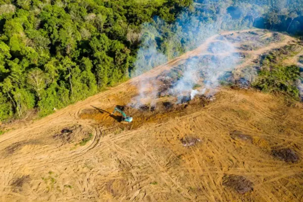
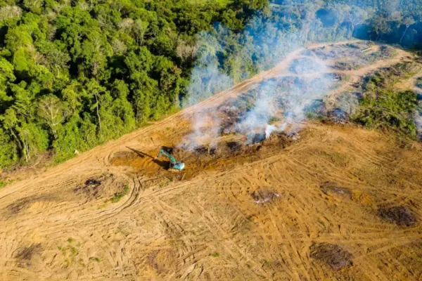
This year’s gathering carries immense significance because it marks the precise halfway point between the historic agreement of the Kunming-Montreal…
Geolocation and Cybersecurity

UK Sanctions Chameleonic Crypto Platform Cryptomus Over Cybercrime and Russian Sanctions Evasion

October 14, 2026 Nana Muazin
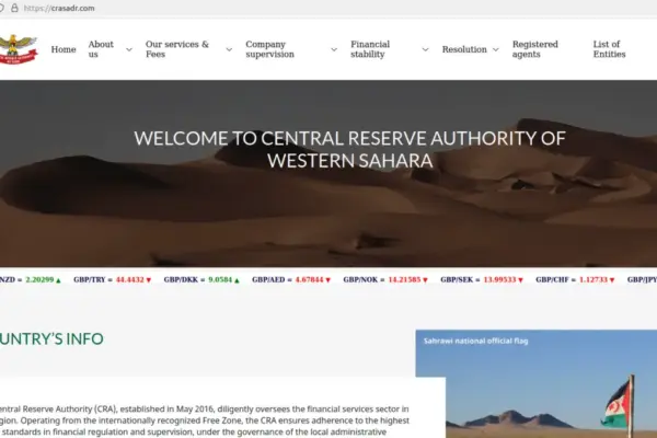
The United Kingdom has officially issued sweeping economic sanctions against Cryptomus, a volatile and shifting cryptocurrency platform that cybersecurity experts…
Urban Planning and Smart Cities

Transit Leaders Share Strategies to Overcome Fiscal Cliffs and Expand Regional Networks at National Conference

October 14, 2026 Nana Muazin
As public transportation agencies across the United States continue to navigate the profound structural shifts brought on by the post-pandemic…
Drone Mapping and Aerial Photography

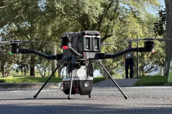
Small Drone Manufacturer Finds Its Market Niche: The Harris Aerial Story

October 13, 2026 Nana Muazin
By Jim Magill In the fast-paced and constantly evolving world of business, getting in on the ground floor of an…
Environmental and Climate Mapping

Interactive: Tracking negotiating texts at the COP17 biodiversity summit

October 12, 2026 Nana Muazin
Beginning on October 19 and running through October 30, representatives from 196 parties to the convention will gather in the…
Geography and Earth Science

Deep-Sea Expedition Off Costa Rica Uncovers Stunning New Coral Family Inspired by Tolkien’s Legendarium

October 11, 2026 Nana Muazin
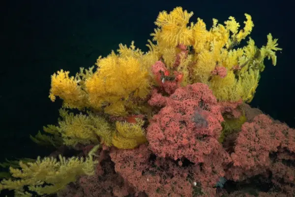
Scientists surveying rugged underwater mountains deep beneath the Pacific Ocean off the coast of Costa Rica have made a remarkable…
Geopolitics and Map News

Symbiosis International University Celebrates Five Decades of Global Education and Cultural Diplomacy at New Delhi Gala

October 11, 2026 Nana Muazin
NEW DELHI — Education has the profound power to transcend borders, build lasting relationships, and bring nations closer together through…
Data Visualization and Infographics

Model Context Protocol Moves to Stateless Architecture with Python SDK v2

October 10, 2026 Nana Muazin
The Model Context Protocol (MCP) has undergone a fundamental architectural evolution, shifting away from stateful sessions toward a fully stateless…
Location Intelligence and Spatial Analytics

Why Enterprise AI Initiatives Stumble: Insights from the "Precisely Now" Event on the Crucial Role of Data Readiness

October 9, 2026 Nana Muazin
In the modern corporate landscape, artificial intelligence has rapidly evolved from an experimental sandbox into a core operational strategy. Statistics…
GIS and Spatial Technology

The Visual Language of Data: How Thematic Maps Shape Our Understanding of a Complex World

October 9, 2026 Nana Muazin
In the modern era of big data, society is inundated with information. From population shifts and climate fluctuations to economic…

Posts navigation

Older posts
Newer posts

Recent Posts

  • GeoHound Tool Launches as Chrome Extension to Instantly Detect, Analyze, and Process Web Map Data
  • From ERP Systems to AI Strategy: Inside Aakansha Bhalotia’s 13-Year Tech Journey at Precisely
  • Elistair Unveils Tethered Air Module for the Parrot ANAFI UKR to Enable Extended ISR Missions
  • A 178-Year-Old Train Delay Solves a Major Mystery in the History of Space Weather and Solar Storms
  • Urban Parking Costs and Curb Management Drive Traffic and Transportation Planning Challenges, New Report Shows

Recent Comments

No comments to show.

Archives

  • October 2026
  • September 2026
  • August 2026

Categories

  • Data Visualization and Infographics
  • Disaster Response and Humanitarian Mapping
  • Drone Mapping and Aerial Photography
  • Environmental and Climate Mapping
  • Geography and Earth Science
  • Geolocation and Cybersecurity
  • Geopolitics and Map News
  • GIS and Spatial Technology
  • Location Intelligence and Spatial Analytics
  • Open Data and Civic Tech
  • Open Source Geospatial Software
  • OpenStreetMap and Community Mapping
  • Remote Sensing and Satellite Imagery
  • Transportation and Mobility Tech
  • Travel Hacking and Digital Nomad
  • Urban Planning and Smart Cities
  • Web Mapping and Cartography

© 2026 Hack The Map. All rights reserved.

Theme: The Original by Rifan Muazin.