Skip to content
Breaking News
  • GeoHound Tool Launches as Chrome Extension to Instantly Detect, Analyze, and Process Web Map Data
  • From ERP Systems to AI Strategy: Inside Aakansha Bhalotia’s 13-Year Tech Journey at Precisely
  • Elistair Unveils Tethered Air Module for the Parrot ANAFI UKR to Enable Extended ISR Missions
Thursday, October 22, 2026
Edition: U.S. International Login

Hack The Map

Author: Lina Hope

Geography and Earth Science

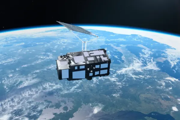
Europe’s New Sentinel-3C Satellite Delivers Spectacular First Earth Images and Precise Climate Data

October 14, 2026 Lina Hope
Just two weeks after successfully reaching orbit, Europe’s newly launched Copernicus Sentinel-3C satellite has delivered its first breathtaking images of…

Open Source Geospatial Software

GeoServer Issues Urgent Security Update After August Zero-Day Exploitation and Outlines New AI Vulnerability Policy

October 13, 2026 Lina Hope
The GeoServer open-source project has published a comprehensive security recap detailing a turbulent summer of 2026, which included managing a…
Data Visualization and Infographics

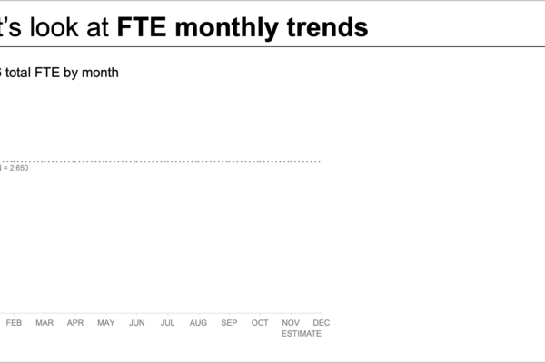
Streamlining Data Storytelling: How to Transform Complex Staffing Metrics for Leadership

October 13, 2026 Lina Hope
When a projected staffing shortfall looms on the horizon, bringing the issue to executive leadership is a necessary first step.…
Location Intelligence and Spatial Analytics

AI Has Outpaced Trusted Data: Key Insights from the "Precisely Now" Event on Enterprise Data Readiness

October 12, 2026 Lina Hope
Eighty-six percent of organizations have actively increased their focus on data management as a direct consequence of the artificial intelligence…
Data Visualization and Infographics

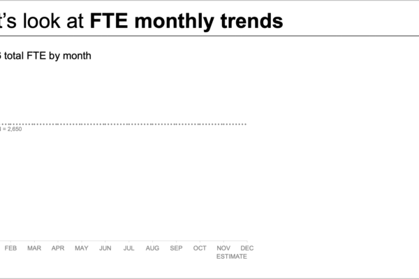
Data Storytelling Makeover: How to Untangle Complex Workforce Metrics for Leadership

October 11, 2026 Lina Hope
When an expected staffing shortfall looms on the horizon, bringing it to the immediate attention of executive leadership is a…
Web Mapping and Cartography

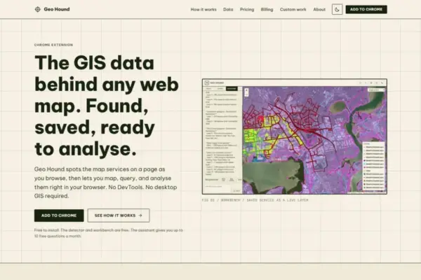
New Chrome Extension GeoHound Streamlines Web Map Data Discovery and In-Browser Spatial Analysis

October 11, 2026 Lina Hope
A new tool designed to simplify how geographic information is discovered, extracted, and analyzed directly within web browsers has been…
Travel Hacking and Digital Nomad

Holafly Launches Ongoing Global eSIM Subscription Plan to Rival Traditional Telecom Carriers

October 11, 2026 Lina Hope
Travel connectivity provider Holafly has announced the rollout of Holafly Plans, a new single eSIM subscription service designed to provide…
Drone Mapping and Aerial Photography

FAA Part 107 Drone Pilot Test Changes: What Applicants Need to Know for October 26

October 10, 2026 Lina Hope
The Federal Aviation Administration is introducing a significant update to its Part 107 remote pilot knowledge test, shifting how aspiring…
Drone Mapping and Aerial Photography

29 Governors Call for Expanded Counter-Drone Training Under New Federal Law

October 9, 2026 Lina Hope
A bipartisan coalition of 29 U.S. governors is formally urging federal authorities to significantly scale up counter-drone training programs for…
Environmental and Climate Mapping

Record Wind and Solar Save UK £5.9bn in Gas Imports Amid Hormuz Crisis

October 8, 2026 Lina Hope
The United Kingdom has successfully avoided the need for natural gas imports worth an estimated £5.9bn since the onset of…

Posts navigation

Older posts
Newer posts

Recent Posts

  • GeoHound Tool Launches as Chrome Extension to Instantly Detect, Analyze, and Process Web Map Data
  • From ERP Systems to AI Strategy: Inside Aakansha Bhalotia’s 13-Year Tech Journey at Precisely
  • Elistair Unveils Tethered Air Module for the Parrot ANAFI UKR to Enable Extended ISR Missions
  • A 178-Year-Old Train Delay Solves a Major Mystery in the History of Space Weather and Solar Storms
  • Urban Parking Costs and Curb Management Drive Traffic and Transportation Planning Challenges, New Report Shows

Recent Comments

No comments to show.

Archives

  • October 2026
  • September 2026
  • August 2026

Categories

  • Data Visualization and Infographics
  • Disaster Response and Humanitarian Mapping
  • Drone Mapping and Aerial Photography
  • Environmental and Climate Mapping
  • Geography and Earth Science
  • Geolocation and Cybersecurity
  • Geopolitics and Map News
  • GIS and Spatial Technology
  • Location Intelligence and Spatial Analytics
  • Open Data and Civic Tech
  • Open Source Geospatial Software
  • OpenStreetMap and Community Mapping
  • Remote Sensing and Satellite Imagery
  • Transportation and Mobility Tech
  • Travel Hacking and Digital Nomad
  • Urban Planning and Smart Cities
  • Web Mapping and Cartography

© 2026 Hack The Map. All rights reserved.

Theme: The Original by Rifan Muazin.