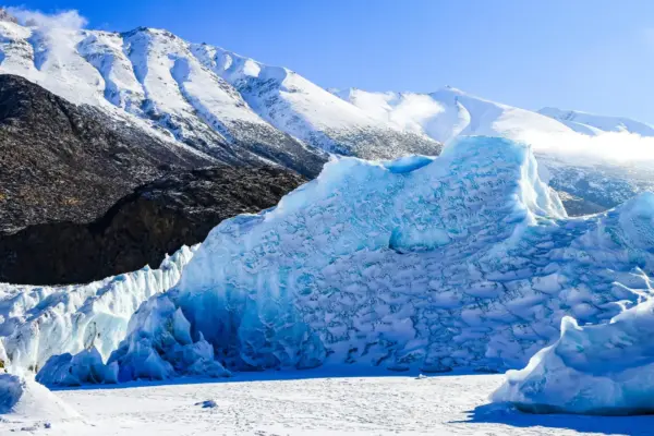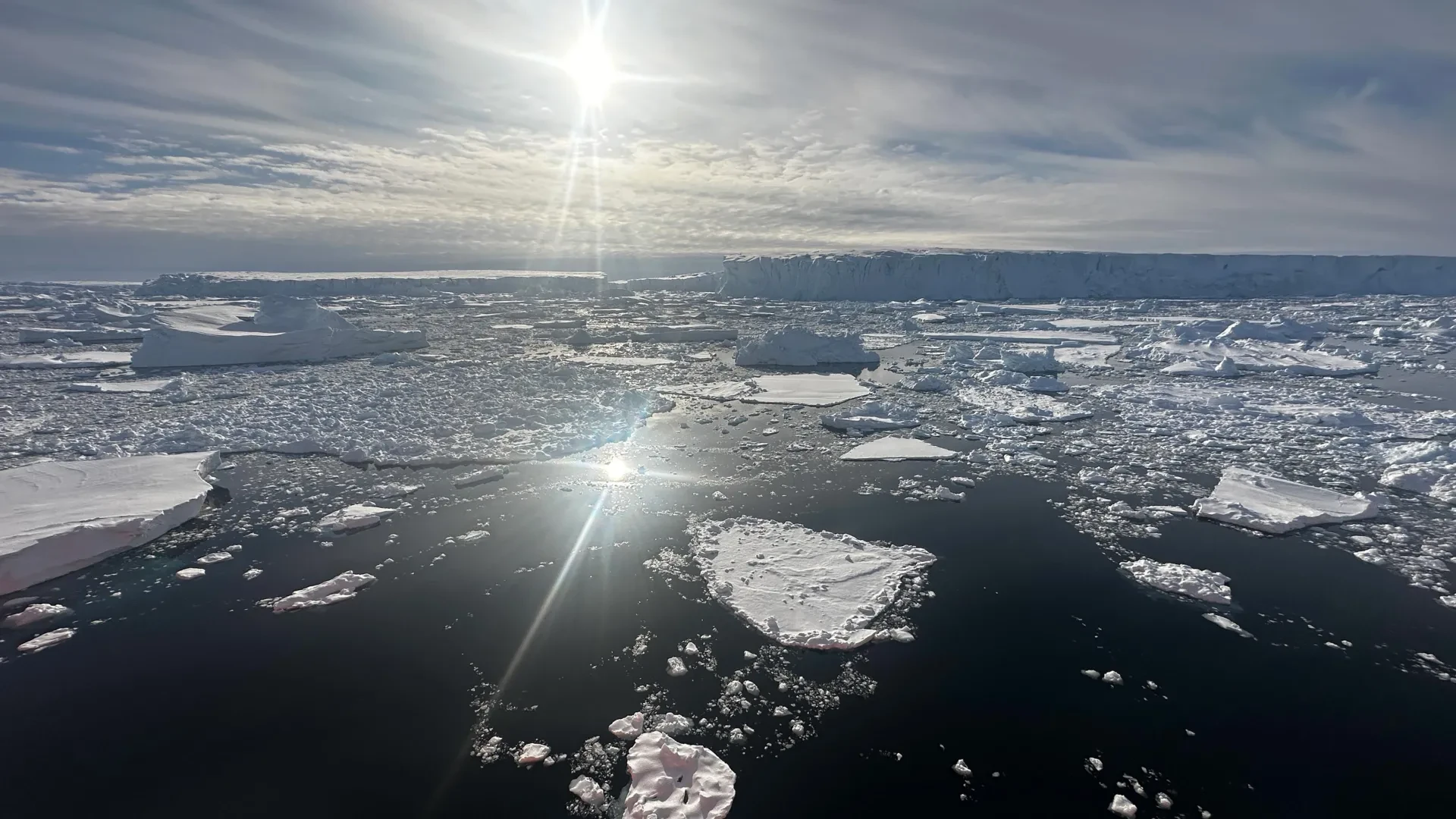
A sophisticated new computer model developed by researchers at the University of California, Irvine, alongside scientists at NASA’s Jet Propulsion Laboratory, suggests that Antarctica’s massive Thwaites Glacier—frequently referred to by scientists and the media as the "Doomsday Glacier"—could have a far more dramatic impact on global sea levels than previously calculated. According to the groundbreaking projections, melting from this critical West Antarctic ice sheet alone could drive global sea levels up by as much as 30 millimeters by the year 2100. This staggering figure represents double the previous estimates, and notably, these enhanced projections hold true even in the absence of any additional atmospheric warming.
The findings, which have been published in the peer-reviewed scientific journal Nature Communications, shed crucial light on why conventional computer models have historically fallen short in estimating the true velocity and scale of the glacier’s retreat. For decades, traditional scientific simulations treated the boundary between grounded ice and floating ice as a narrow, sharply defined line. However, the new model broadens that scope significantly, accounting for a much wider transition zone where corrosive, warm ocean water can actively penetrate and circulate beneath the heavy ice sheet. By incorporating this vital physical dynamic, the research team successfully reproduced historical changes in the Thwaites Glacier spanning from the 1990s to the present day—changes that proved to be four times more pronounced than what standard, conventional models had previously been able to represent.
Warm Ocean Water Is Melting Antarctica’s Ice From Below
The mechanics behind this accelerated melting stem from complex interactions happening far out of sight beneath the surface of the polar ocean. Glaciologists have long based their fundamental assumptions regarding ice sheet dynamics on the concept of the "grounding line." This has traditionally been viewed as a discrete, narrow, and mostly stable demarcation point where glacial ice leaves the rocky continent behind and begins to float freely over open water.
However, observational realities on the ground and from space have forced a significant shift in how researchers understand these environments. Lead author Mattia Poinelli, who served as a UC Irvine postdoctoral scholar in Earth system science when the research was conducted, explained the evolving consensus within the scientific community.
"Glaciologists have long based their assumptions of ice sheet dynamics on the ‘grounding line,’ a discreet, narrow and mostly stable demarcation where ice leaves the land and begins floating on water," Poinelli noted. "We have come to acknowledge a different arrangement beneath Earth’s major ocean-terminating glaciers. Satellite observations demonstrate the existence of a ‘grounding zone,’ sometimes kilometers wide, where warm ocean water is reaching deep underneath the ice sheets and causing vigorous melting."
Thwaites Glacier is strategically situated in West Antarctica’s vulnerable Amundsen Sea Embayment, a volatile geographic region that is already singularly responsible for approximately one-third of the entire Antarctic Ice Sheet’s total mass loss. Over recent decades, scientific monitoring has documented how the glacier has thinned out and retreated at an alarming pace. Furthermore, researchers have tracked an increase in the speed at which the glacial ice flows toward the sea, though traditional computer models have consistently struggled to replicate the rapid acceleration clearly captured by modern satellite instrumentation.
To investigate this persistent discrepancy between models and real-world observations, the UC Irvine-led research team embarked on a comprehensive comparative study. They contrasted their advanced computer simulations with more than two decades of empirical observation data. Additionally, the team analyzed high-resolution synthetic aperture radar measurements collected by Finland’s specialized ICEYE satellite constellation. These detailed radar measurements revealed critical fluctuations extending across several kilometers of the grounding zone located along the main trunk of the glacier.
The accumulated satellite evidence paints a clear and concerning picture: seawater travels several kilometers inland beneath ice that ostensibly remains grounded on the deep seafloor. As ocean tides rise and fall on a daily cycle, the movement of the water lifts the heavy ice mass, repeatedly exposing its vulnerable underside to warm, pressurized seawater. This corrosive water reaches the remote Antarctic coastline via altered ocean currents—shifts driven directly by broader global climate change—thereby establishing persistent conditions that exponentially accelerate melting from beneath the glacier.
Thwaites Glacier Could Lose a Critical Underwater Anchor
The environmental and physical consequences of this sub-glacial activity extend far beyond the immediate melting process itself. According to Poinelli, who is also a NASA JPL research affiliate and now serves as a project scientist at UCLA, the relentless movement of water beneath the body of Thwaites is actively weakening its physical connection to vital underwater ridges. These natural topographical features have historically played a crucial role in keeping the massive glacier anchored and stable in its place. As these natural sub-marine supports gradually lose their grip, the overlying ice is freed to flow much faster, allowing the entire glacier to retreat at an accelerated rate.
Detailing the specific mechanics of this potential failure, Poinelli pointed to a key stabilizing structure. "The Thwaites main trunk is being temporarily stabilized by the Mouginot Ridge," he explained. "Once that ridge is unpinned, the glacier will continually retreat across a predominantly retrograde seafloor toward its next topographic high, the South Ridge."
The research team’s intricate simulations suggest that this critical structural tipping point could occur well before the close of the century. When the computer model is configured to incorporate a realistic grounding zone measuring between four and six kilometers across, it forecasts a startling 60 percent probability that Thwaites will become entirely detached from the Mouginot Ridge before the end of the current century.
For the scientific team, calibrating the model against historical realities was essential to validating these daunting predictions. "When you factor in key physical processes and calibrate against historical observations, you gain a reliable pathway for narrowing uncertainty in projections," Poinelli emphasized.
New Model Points to Greater Coastal Flooding Risks
Ultimately, the newly updated projections suggest that the global scientific community may have significantly underestimated the substantial contribution that the Thwaites Glacier will make to future sea level rise over the coming decades. By constructing a modeling framework that more accurately represents the complex ways in which warm ocean water interacts directly with the hidden undersides of massive ice sheets, the researchers have produced results that align far more closely with actual observed changes in the field, while simultaneously pointing toward substantially greater ice loss ahead.
Co-author Eric Rignot, a professor of Earth system science at UC Irvine, reflected on the broader implications of the research team’s findings within the context of decades of polar observation. "We have documented and quantified the impacts of climate change on our planet’s sensitive ice sheets for decades, but a mounting realization gained in recent years of what is happening on the undersides of glaciers like Thwaites is leading to an even greater sense of alarm," Rignot stated.
He further noted the limitations of historical scientific assessments in
capturing the reality of the crisis. "Most projections up to the present have struggled to match the rapidity of the mass loss because of missing physics; our new model with more complete physics is able to match the record and then produces projections that are twice as large as before. These results predict greater risk of and exposure for coastal flooding than anticipated in the coming decades."
As researchers continue to refine their understanding of sub-glacial dynamics and ocean-ice interactions, these findings serve as a stark reminder of the complex forces currently reshaping Antarctica’s most vulnerable margins, carrying profound implications for coastal populations worldwide who must prepare for an accelerated timeline of rising seas.