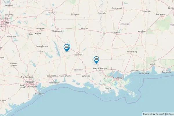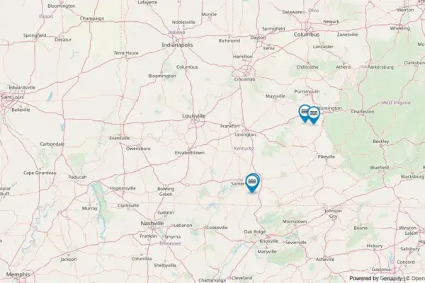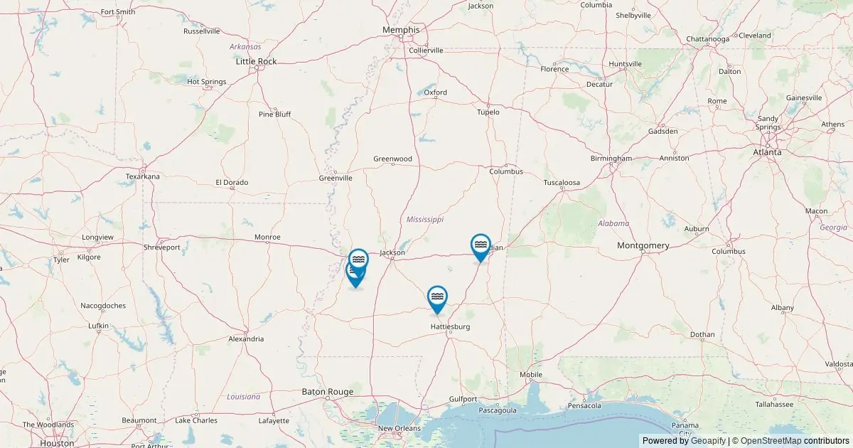
Comprehensive cartographic and hydrological records maintained by federal geographers reveal that Mississippi is home to four officially recognized named waterfalls. While this count places the state at number 47 nationwide in total named waterfall features, the small collection represents a distinct and locally treasured element of the state’s natural landscape. Detailed spatial records from the United States Geological Survey, processed through modern geographic information systems, offer a clearer look into where these hydrological features are situated, how they are managed, and how the public can locate them.
The underlying dataset originates directly from the United States Geological Survey Geographic Names Information System, which serves as the official national repository for domestic geographic names. By analyzing geographic feature data retrieved from federal mapping services, cartographers have mapped every single cataloged waterfall within Mississippi’s state boundaries, establishing a precise inventory for naturalists, researchers, and outdoor enthusiasts.
Federal Data and the Cartographic Record
The primary authority behind the mapping of Mississippi’s waterfalls is the Geological Names Information System, established by the federal government in 1890 to create unified standards for place names across the United States. Within this database, landforms are classified by specific feature types, with waterfalls categorized strictly under the "Falls" designation.
A comprehensive query of the federal framework conducted through the USGS National Map ArcGIS REST service in May 2026 confirmed that exactly four natural features carrying established, official names meet the criteria within Mississippi. The federal record tracks key geographic attributes for each entry, including official feature names, primary county jurisdictions, exact latitude and longitude coordinates, and direct links to permanent archive records maintained in the federal database.
While the official federal tally remains set at four, state geographers and outdoor researchers note that the actual number of falling water features across Mississippi is higher. Numerous unnamed, ephemeral cascades exist throughout the state’s varied terrain, particularly along minor tributaries and steep ravines following heavy precipitation events. However, the federal designation is reserved exclusively for natural features that possess documented, recognized names recognized through historical use or official cartographic adoption.
Distribution Across Mississippi Counties
The spatial layout of Mississippi’s cataloged waterfalls reveals a sparse but geographically diverse distribution across four individual counties. Unlike states dominated by vast mountain ranges where waterfalls cluster in dense geographical corridors, Mississippi’s named falls are spread singly across separate local jurisdictions, each representing a unique point of natural interest within its respective region.
Claiborne County contains one of the state’s four cataloged falls, representing an important hydrological feature along the western edge of the state near the Mississippi River basin. Further inland, Copiah County accounts for a second named waterfall, situated within the rolling hills and creek networks of central Mississippi.
To the east, Lauderdale County harbors a third official waterfall feature, localized within the distinct terrain near the Alabama border. Finally, Covington County holds the fourth documented entry, adding a named waterfall feature to the river systems of south-central Mississippi.
This equal distribution—with Claiborne, Copiah, Lauderdale, and Covington counties each claiming a single named feature—underscores the relative rarity of formally named waterfalls across the state’s major river basins and coastal plain ecosystems.
Land Ownership, Stewardship, and Public Access
Navigating to Mississippi’s named waterfalls requires an understanding of local land tenure, as ownership boundaries dictate how accessible a given feature is to the general public. Federal cartographic data maps the physical coordinates of each fall, but operational access depends on the governing authority overseeing the property where the water feature resides.
A substantial portion of the state’s cataloged natural features reside on publicly administered lands. These include properties managed within the Mississippi state park system, parcels under the federal stewardship of the United States Forest Service within National Forest boundaries, tracts overseen by the Bureau of Land Management, and localized parks administered by municipal or county governments. Public ownership generally provides structured access, designated trail systems, and established visitor guidelines.
However, some named falls sit entirely on private property or fall under the sovereign jurisdiction of tribal lands. In these instances, access is strictly governed by the private landowner or tribal authority, requiring explicit permission prior to entry. State natural resource officials emphasize that presence on official maps does not grant automatic public access rights, and visitors must always respect property boundaries to prevent trespassing.
For accessible locations, modern geographic coordinates provide routing directly to the closest public road rights-of-way. From those roadside access points, reaching the actual falling water site typically involves a short to moderate hike over established footpaths or natural terrain, requiring standard outdoor safety precautions.
Seasonal Hydrology and Optimal Viewing Conditions
The visual characteristics and water volume of Mississippi’s waterfalls fluctuate significantly throughout the year, driven by regional precipitation cycles, groundwater saturation, and seasonal temperature changes. Understanding these hydrological patterns is essential for observing the falls at peak flow.
Throughout most of Mississippi, peak flow conditions occur during late winter and early spring. This period coincides with maximum seasonal rainfall and winter snowmelt from upper watershed drainage areas, generating strong streamflows that fully feed the state’s falls. Visiting during or immediately following heavy rain events generally yields the most dramatic displays of moving water across all four locations.
As the season transitions into late summer and early autumn, stream discharge typically decreases across the state’s creek networks. During these drier months, water flow over the falls drops significantly, resulting in smaller, clearer streams. However, this period offers secondary benefits for visitors, as reduced flow often yields enhanced water clarity, easier physical access along dry stream banks, and vibrant background foliage as local deciduous forests turn color in the fall.
In higher-elevation pockets and northern areas of the state, winter weather introduces unique thermal dynamics. During extended periods of freezing temperatures, water moving over these features can partially freeze, transforming the running falls into temporary ice formations and hanging icicles along surrounding rock exposures.
Cartographic Scope and Supplemental Geographic Resources
While the Geological Names Information System provides the gold standard for geographical naming and spatial coordinates, the database is intentionally limited in scope. Cartographers designed the system to manage geographic nomenclature and administrative location data rather than physical dimensions or structural attributes.
Consequently, federal records do not capture detailed physical statistics such as vertical drop height, ledge width, crest elevation, or underlying geological rock strata. Researchers and outdoor enthusiasts seeking dimensional data often rely on specialized secondary resources, such as the World Waterfall Database, which cross-references federal geographic coordinates with physical field measurements to detail vertical drop and structural profiles.
Despite these scope limitations, the USGS dataset remains the fundamental base layer for understanding Mississippi’s cataloged geographical features. By combining legacy naming records established over more than a century with modern GIS mapping techniques, the federal repository ensures that even small, localized natural landmarks remain documented within the broader landscape of American geography.