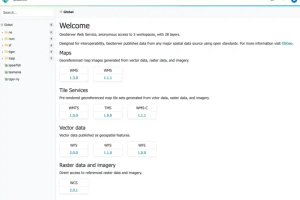
The GeoServer development community has officially announced the immediate availability of GeoServer 3.0.2, a stable release heavily recommended for production environments across the globe. Alongside the core software updates, the release introduces a comprehensive suite of upgraded underlying libraries, critical security considerations, and the debut of several long-awaited enterprise capabilities, including complete OGC API Maps alignment and advanced cryptographic compliance tools.
Users can now download the latest stable builds across multiple formats, including binary packages, WAR archives for servlet containers, and a dedicated Windows setup executable. Comprehensive documentation bundles and an extensive repository of community extensions are also available for deployment. This robust release cycle has been made possible through the collaborative efforts of key open-source contributors, featuring release management by Jody Garnett of GeoCat, thorough testing protocols overseen by Andrea Aime of GeoSolutions, and specialized cloud architecture releases spearheaded by Alessio Fabiani of GeoSolutions and Gabriel Roldan of Camptocamp.
At its core, GeoServer 3.0.2 integrates several critical upstream component upgrades designed to boost system stability, performance, and rendering capabilities. The platform now incorporates GeoTools 35.2, GeoWebCache 2.0.2, mapfish-print-v2 2.5.2, and ImageN 0.9.3. Notably, this version marks a significant milestone for containerized deployments by delivering an updated GeoServer Cloud 3.0.2 release simultaneously with the core software launch for the very first time, ensuring that cloud-native implementations can adopt the latest improvements without delay.
Security remains a primary focus of the 3.0.2 deployment. The project maintainers have emphasized that this version addresses several known security vulnerabilities, making it an essential and urgent upgrade for any organization operating production-level geospatial infrastructure. While specific vulnerability details and remediation steps are scheduled for public disclosure at the beginning of November, administrators are encouraged to review the project’s established security policy documentation to understand how vulnerabilities are managed and mitigated within the ecosystem.

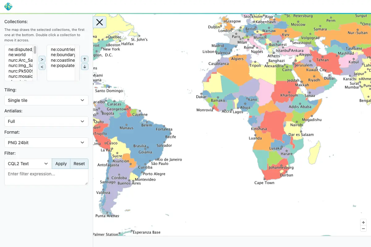
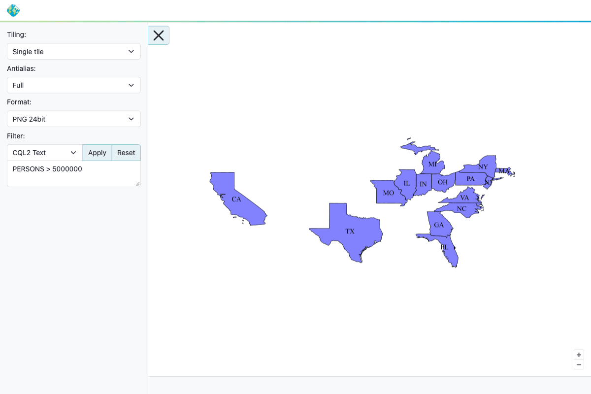
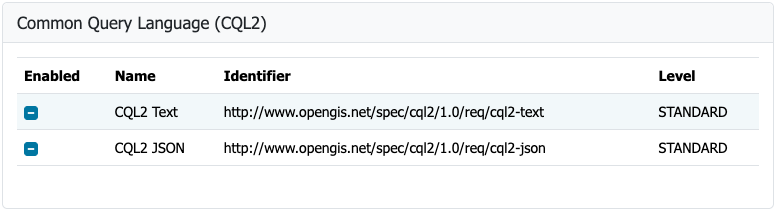
Beyond foundational stability and security updates, GeoServer 3.0.2 brings important strides in standards compliance. The OGC API Maps community module has been fully aligned with the final OGC API – Maps 1.0.0 standard, allowing organizations to serve map resources in alignment with modern geospatial web standards. This crucial development was led by Andrea Aime of GeoSolutions, with additional 3.0.x backporting and conformance table editor improvements contributed by Jody Garnett of GeoCat. Users seeking to implement these standardized endpoints can consult the dedicated OGC API Maps documentation within the official user manual.

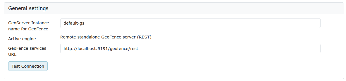
The release also marks the completion of a major crowdfunding objective with the arrival of the GeoFence extensions for GeoServer 3. This achievement represents the successful fulfillment of Milestone 4: Integration under the GeoServer 3 crowdfunding campaign. To align with modern enterprise architectures, GeoFence has undergone extensive modernization, updating its codebase to support Jakarta EE, Spring Framework 7, and Hibernate 7.

Because of these foundational architecture updates, existing administrators upgrading to the new GeoFence environment must exercise caution. The project team strongly advises current users to review the migration guide prior to deployment, as the datasource configuration file has been renamed, and the legacy GeoFence authentication provider has been deprecated and removed. This integration work was masterminded by Emanuele Tajariol of GeoSolutions and brought to life through the financial backing of the GeoServer 3 crowdfunding campaign sponsors.

The continuation of the GeoServer 3 project is made possible through the sustained financial contributions and organizational backing of a vast network of commercial entities, public institutions, and individual donors. Institutional supporters span diverse sectors and include AfriGIS, Camptocamp, DLR, Dorset Council, Deutsche Telekom, Frachtwerk GmbH, GeoCat BV, Geocrafter Geospatial Studio, Comune di Genova, g.on, GeoSolutions SRL, geosos, Geospatial Enabling Technologies, Incloud Limited, HL Consulting, Institut national de l’information géographique et forestière, ITS Digital, JDev, Kreditanstalt für Wiederaufbau, Mammoth Geospatial, National Ocean Service, Plangis, Office of Public Works, Open Geo Groep, OSGeo:Korea, OSGeo:UK, Quarticle Research Srl, Sea Island Software, Tailormap, Terrestris, Ubigu, Value AG, Region Västra Götaland, and WaldExpert. Furthermore, individual contributions from community members such as Abhijit Gujar, Hennessy Becerra, Ivana Ivanova, John Bryant, Jason Horning, Jose Macchi, Peter Smythe, Sajjadul Islam, Sebastiano Meier, and Stefan Overkamp continue to sustain the project’s ongoing evolution.

Another significant addition to the GeoServer ecosystem is the introduction of a new FIPS community module. Designed to address strict regulatory compliance frameworks, the module supports FIPS 140-3, a United States government standard for cryptographic modules. Many federal agencies and their commercial suppliers face strict mandates requiring them to run software exclusively on validated cryptographic modules. The new module provides a pathway toward meeting these rigorous requirements, though administrators must note that it currently operates exclusively on Linux environments and requires a freshly initialized data directory, as an automated migration tool for existing directories is not yet available. Development of this specialized cryptographic compliance module was led by Andrea Aime of GeoSolutions.

The broader release notes for version 3.0.2 highlight a series of targeted bug fixes, performance improvements, and ongoing tasks designed to refine the user experience and internal architecture. These enhancements span core mapping engines, data storage connectors, and administrative interfaces. Meanwhile, community module development remains active, with various experimental features shared as source code to foster collaborative innovation. Developers and organizations interested in these exploratory topics are encouraged to reach out directly to module authors to offer assistance and accelerate feature maturity.

As the GeoServer 3.0 series continues to mature, administrators managing enterprise spatial data infrastructures are encouraged to evaluate their upgrade paths, consult the comprehensive migration resources, and engage with the active developer community across GitHub and official communication channels to ensure seamless production deployments.