Travel Hacking and Digital Nomad Phoenix Gains New European Route as Lufthansa Plans Munich Service for 2027 October 20, 2026 Nana Lufthansa is officially heading to the Valley of the Sun. Beginning next August, the major Star Alliance carrier will launch…
Travel Hacking and Digital Nomad Holafly Launches Global eSIM Subscription Plans to Shake Up International Mobile Roaming October 20, 2026 Nana The global travel technology market is seeing a significant shift in how international connectivity is handled, as travel eSIM provider…
Geography and Earth Science Alaska’s monster tsunami sent water 1,580 feet up a mountain October 19, 2026 Nana Just twelve hours later, however, the landscape underwent a catastrophic transformation. An immense section of the adjacent mountain suddenly gave…
Open Source Geospatial Software GeoServer Security Update: Summer 2026 Review Addresses Zero-Day Exploits, Supply Chain Advisories, and AI Vulnerability Reports October 18, 2026 Nana The GeoServer project has published a comprehensive security recap detailing a turbulent summer of 2026, highlighted by a high-profile zero-day…
Geopolitics and Map News How the Adversarial Network of Russia, China, Iran, and North Korea is Outmaneuvering Washington October 17, 2026 Nana On July 17, a precision Iranian missile struck the Muwaffaq Salti Air Base in Jordan, leaving three American soldiers dead…
Geolocation and Cybersecurity UK Issues Sweeping Economic Sanctions Against Cryptomus, Targeting Key Financial Conduit for Russian Cybercrime and Sanctions Evasion October 17, 2026 Nana The United Kingdom has leveled formal economic sanctions against Cryptomus, a dynamic and chameleonic cryptocurrency platform that cybercrime investigators and…
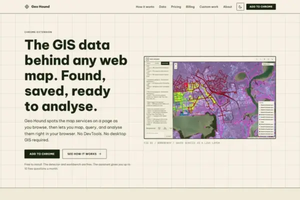
Web Mapping and Cartography GeoHound Chrome Extension Enables Direct Discovery and Processing of Web Map Data Layers in the Browser October 17, 2026 Nana A new browser extension named GeoHound aims to streamline how spatial data is discovered, inspected, and processed across the web…
Open Source Geospatial Software GeoServer Project Issues Urgent Security Updates Following Summer 2026 Vulnerabilities and Zero-Day Disclosures October 16, 2026 Nana The GeoServer open-source project has released a comprehensive security recap detailing a turbulent summer of 2026 marked by critical vulnerability…
Environmental and Climate Mapping UN Report Warns World is Falling Short on 22 of 23 Nature Targets Ahead of Armenia COP17 Summit October 16, 2026 Nana Countries from around the globe are preparing to meet in Armenia this month to carry out the first comprehensive global…
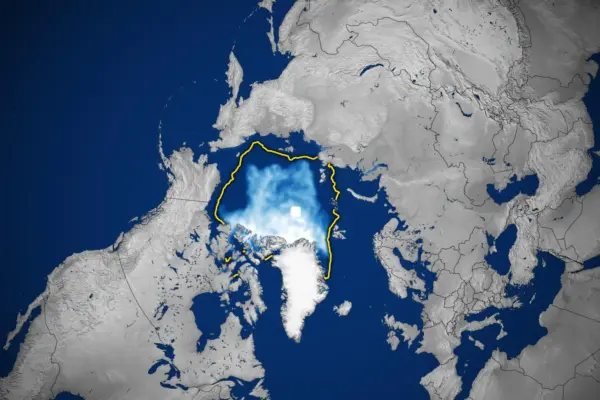
Geography and Earth Science Nearly Five Decades of Satellite Data Reveal a Shrinking, Thinner Arctic Sea Ice Cover October 15, 2026 Nana Nearly five decades of continuous satellite observations have revealed a troubling and profound transformation across the Arctic, where sea ice…