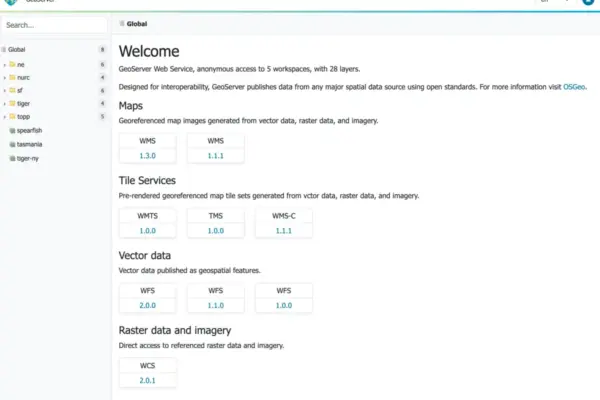
The GeoServer development team has officially announced the immediate availability of GeoServer 3.0.2, a stable release heavily recommended for enterprise and production environments. As the geospatial community continues to adopt the powerful GeoServer 3 architecture, this latest version brings together critical security considerations, crucial software updates, and the completion of major milestones driven by community crowdfunding and collaborative development efforts.
Users can now download the new release across multiple distribution formats, including binary packages, WAR archives for servlet container deployments, and a dedicated Windows installer. Alongside the core application, the project has made comprehensive user documentation and a wide array of extensions available for deployment. Notably, this release cycle also introduces the simultaneous launch of GeoServer Cloud 3.0.2 on release day, marking a significant milestone for containerized and distributed deployments of the popular map server software.
Under the hood, GeoServer 3.0.2 integrates several foundational geospatial and rendering libraries to ensure peak performance and modern framework compatibility. The software now incorporates GeoTools 35.2, GeoWebCache 2.0.2, mapfish-print-v2 2.5.2, and ImageN 0.9.3. The synchronization of these core libraries underpins the stability and reliability that enterprise users expect when handling complex vector and raster datasets in mission-critical applications.
The successful delivery of GeoServer 3.0.2 was made possible through the dedicated contributions of key community developers. Jody Garnett of GeoCat spearheaded the release management process, while Andrea Aime of GeoSolutions led the rigorous testing phase. Additionally, Alessio Fabiani of GeoSolutions and Gabriel Roldan of Camptocamp coordinated the concurrent deployment of the updated GeoServer Cloud release.

Security Considerations

Security remains a paramount focus for the GeoServer project, and version 3.0.2 directly addresses critical vulnerabilities that could impact production deployments. Because of the nature of these fixes, the development team classifies this release as an essential upgrade for any organization running public-facing or sensitive geospatial infrastructure. Detailed information regarding the specific security patches and vulnerability mitigations will be publicly disclosed at the beginning of November, following standard responsible disclosure guidelines. Organizations seeking to understand how the project manages security reports and handles vulnerability disclosures can consult the official project security policy available on GitHub.

OGC API Maps 1.0 Integration

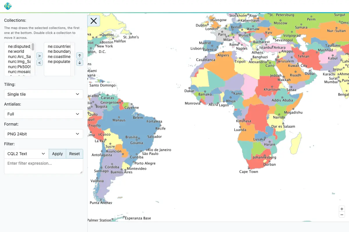
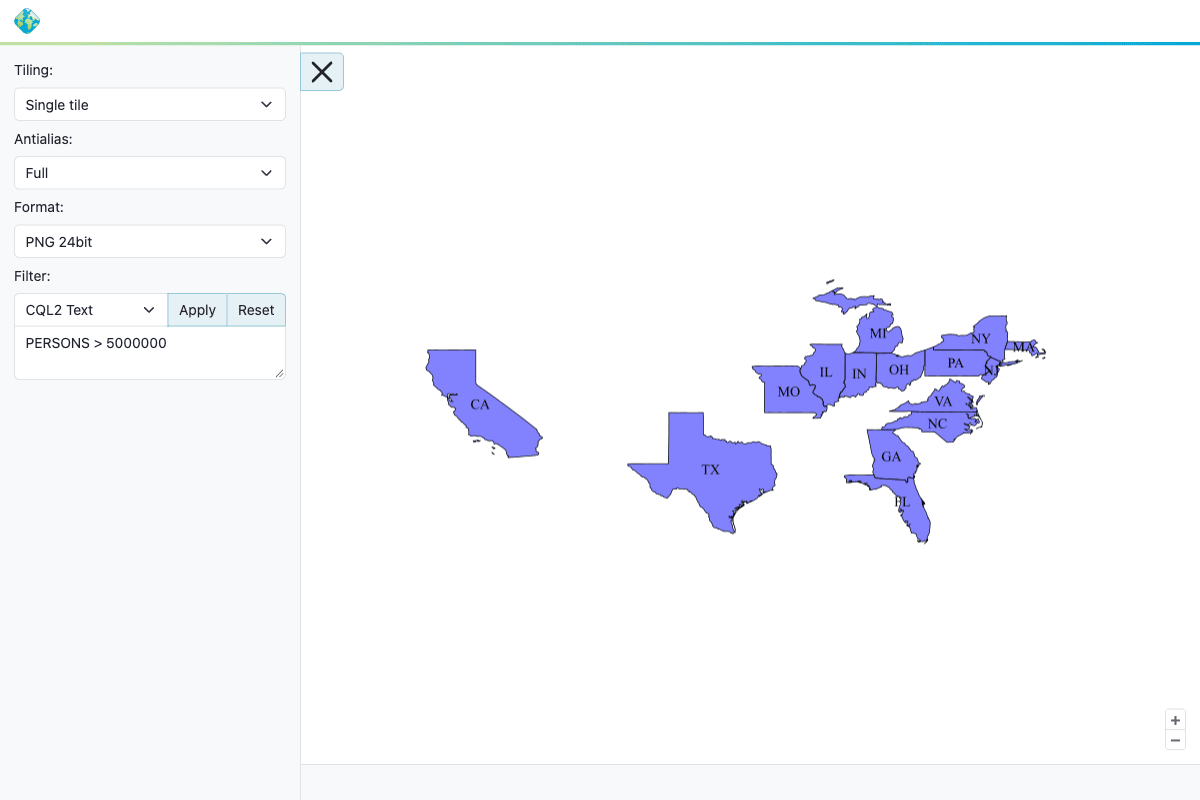
In the realm of interoperability and open standards, GeoServer 3.0.2 brings significant advancements to web mapping interfaces. The OGC API Maps community module has been fully updated and aligned with the final OGC API – Maps 1.0.0 standard, empowering developers and agencies to serve map resources in strict accordance with modern Open Geospatial Consortium specifications.

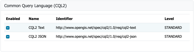
Detailed documentation for configuring and utilizing these standardized endpoints is now available within the official GeoServer user manual. The development of this vital module was driven by Andrea Aime of GeoSolutions, with subsequent backporting to the 3.0.x branch and enhancements to the conformance table editor handled by Jody Garnett of GeoCat.

GeoFence for GeoServer 3

One of the most notable achievements in this release cycle is the arrival of the GeoFence extensions for GeoServer 3. This milestone successfully completes Milestone 4, designated as Integration, under the comprehensive GeoServer 3 crowdfunding campaign.

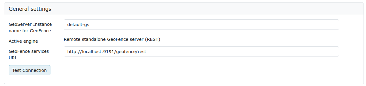
To bring GeoFence into alignment with the modern technology stack of GeoServer 3, the extension has been entirely updated to leverage Jakarta EE, Spring Framework 7, and Hibernate 7. Administrators managing access control and security boundaries will find a refined administrative interface for general settings. However, because of architectural modernizations, existing users transitioning from older versions must carefully review the official migration guide before upgrading. Important changes include the renaming of the datasource configuration file and the complete removal of the legacy GeoFence authentication provider.

The implementation of GeoFence for GeoServer 3 was led by Emanuele Tajariol of GeoSolutions. The achievement was directly financed by the generous financial backing of the GeoServer 3 crowdfunding sponsors—a diverse coalition of corporate entities, public sector organizations, and individual donors committed to the long-term sustainability of open-source geospatial software.

Corporate sponsorship for the GeoServer 3 series spans a wide spectrum of international organizations, including AfriGIS, Camptocamp, DLR, Dorset Council, Deutsche Telekom, Frachtwerk GmbH, GeoCat BV, Geocrafter Geospatial Studio, Comune di Genova, g.on, GeoSolutions SRL, geosos, Geospatial Enabling Technologies, Incloud Limited, HL Consulting, Institut national de l’information géographique et forestière, ITS Digital, JDev, Kreditanstalt für Wiederaufbau, Mammoth Geospatial, NOAA National Ocean Service, Plangis, Office of Public Works, Open Geo Groep, OSGeo:Korea, OSGeo:UK, Quarticle Research Srl, Sea Island Software, Tailormap, terrestris, Ubigu, Value AG, Region Västra Götaland, and WaldExpert.

Additionally, the project acknowledges the vital contributions of individual donors who support ongoing maintenance and feature development, including Abhijit Gujar, Hennessy Becerra, Ivana Ivanova, John Bryant, Jason Horning, Jose Macchi, Peter Smythe, Sajjadul Islam, Sebastiano Meier, and Stefan Overkamp.

FIPS Compliance Support

GeoServer 3.0.2 also introduces a brand-new FIPS community module, catering to organizations operating under strict regulatory frameworks. FIPS 140-3 represents a United States government standard for cryptographic modules, and many federal agencies, defense contractors, and associated suppliers are legally or contractually mandated to deploy software utilizing validated cryptographic implementations.

The new community module allows administrators to monitor and manage FIPS-related status metrics directly through an integrated administration page. Developers and system architects should note that this module currently operates exclusively on Linux environments and requires a freshly initialized data directory, as an automated migration path for existing data directories is not yet available. The development of the FIPS module was spearheaded by Andrea Aime of GeoSolutions.

Release Notes and Community Development

The 3.0.2 release incorporates numerous bug fixes, performance improvements, and minor feature additions across the codebase. While community modules continue to be shared primarily in source code format to foster collaborative experimentation and peer review, developers interested in specific emerging topics are encouraged to reach out directly to module authors to offer assistance or testing feedback.

The GeoServer 3.0 series continues to evolve as a robust platform for modern spatial data infrastructures, bridging enterprise-grade security, standards compliance, and advanced architectural flexibility. Complete release notes, historical changelogs, and binary downloads for version 3.0.2, as well as its predecessors 3.0.1 and 3.0.0, remain accessible via the official project repository on GitHub.