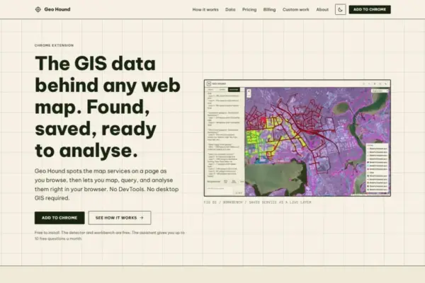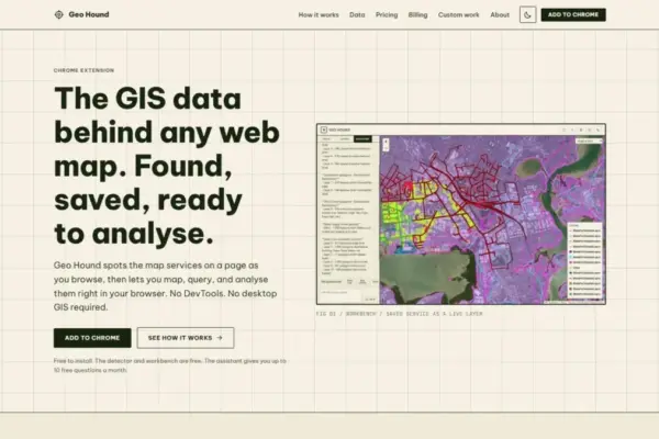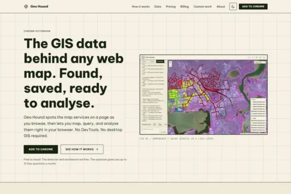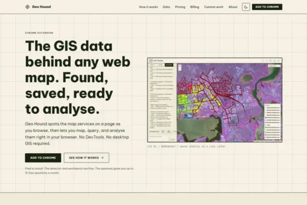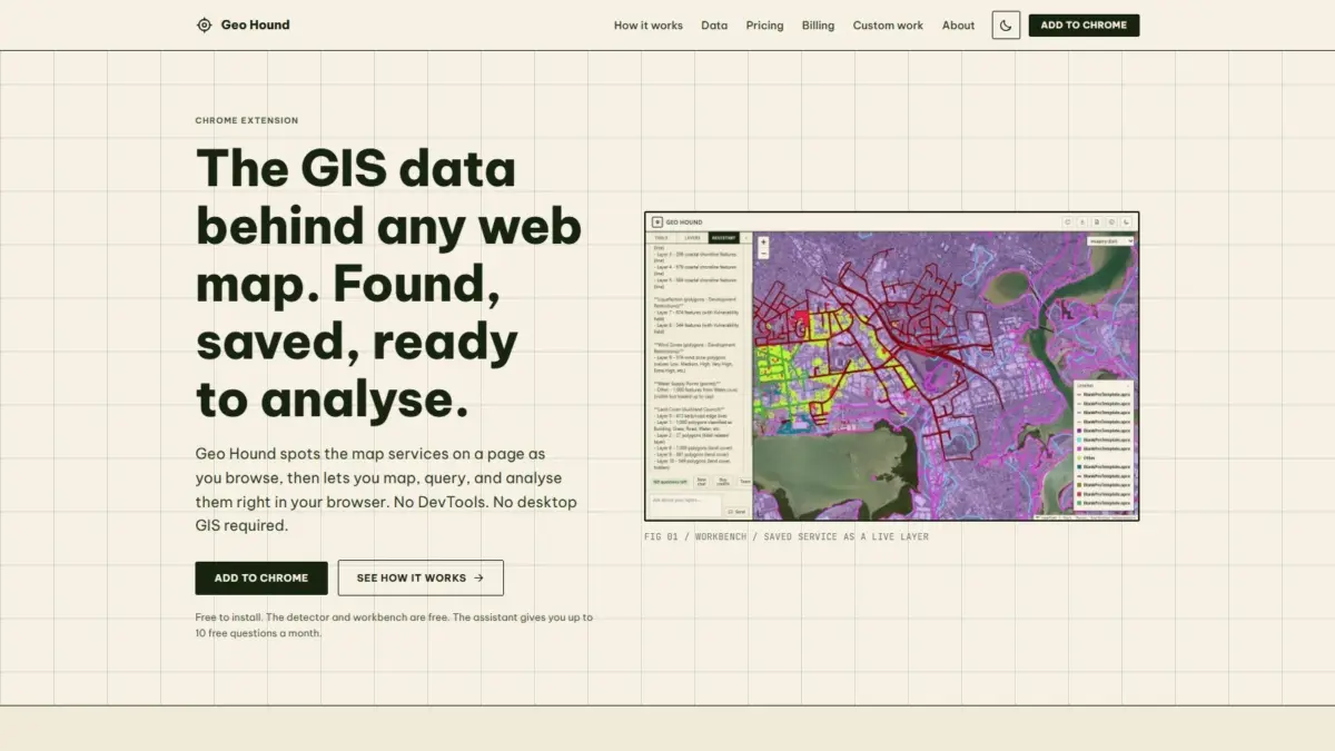
A new browser extension named GeoHound has been released for Google Chrome, offering a dedicated tool designed to automatically detect, inspect, and process web map data as users navigate the internet. Created by Daniel O’Donohue, a geospatial specialist and creator of The MapScaping Podcast, the tool directly addresses one of the most common operational challenges encountered by GIS professionals, researchers, data journalists, and cartographers: identifying and extracting the underlying data services that power modern interactive web maps.
In today’s digital landscape, interactive web maps are everywhere. Municipal governments publish zoning and land-use portals, environmental agencies broadcast real-time satellite imagery and weather tracking data, academic institutions share historical spatial research, and media organizations embed interactive maps into news reports. Behind nearly every interactive web map lies a complex network of web services that stream geographic information to the user’s web browser. However, discovering the exact backend endpoints, service parameters, and data structures responsible for rendering these maps has traditionally been a technical and fragmented process.
Until now, extracting spatial data from a web page typically required manual network inspection—a process colloquially known among technical analysts as "DevTools spelunking." To locate a map’s data source, users had to open their browser’s developer tools, navigate to the network monitoring panel, filter through hundreds of incoming network requests, decipher complex URL query parameters, and test potential endpoint URLs to verify whether they contained usable vector or raster data. For non-developers, or for spatial analysts seeking quick access to a dataset, this manual inspection represented a major bottleneck that disrupted analytical workflows.
GeoHound fundamentally alters this paradigm by running quietly in the background as a user browses the web. Rather than requiring users to manually inspect network traffic, the extension continuously scans web pages for active geographic data streams in real time. Whenever a web map loads or requests new data during user interaction, GeoHound detects the underlying services and logs them along with their associated metadata.
The technical depth of GeoHound’s detection engine is reflected in its support for 29 distinct geospatial service types and data formats. This broad protocol coverage ensures that the extension can identify data streams across virtually any modern or legacy web mapping platform. Among the supported formats are core Open Geospatial Consortium standards, such as Web Map Service for server-rendered raster map layers, Web Feature Service for direct vector geometry transfer,