Drone Mapping and Aerial Photography Court Challenge Could Shape FCC Authority Over Previously Approved Drones October 7, 2026 Siti Muinah A high-stakes legal battle playing out before the U.S. Court of Appeals for the D.C. Circuit could fundamentally redefine the…
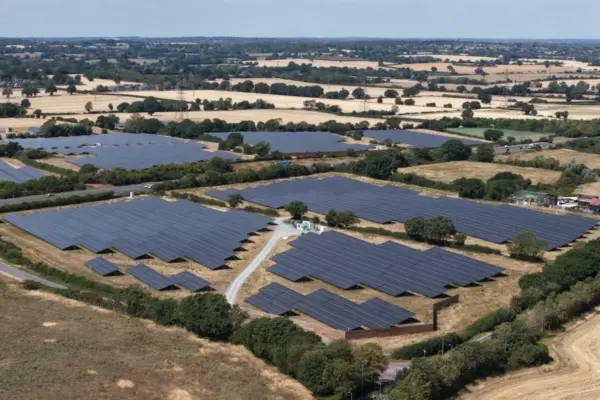
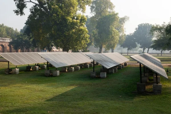
Environmental and Climate Mapping Record Wind and Solar Save UK £5.9bn in Gas Imports Amid Hormuz Crisis October 7, 2026 Siti Muinah The United Kingdom has successfully avoided the need for natural gas imports worth an estimated £5.9bn since the outbreak of…
Geopolitics and Map News Stalled Trump Peace Plan Collides With Deep Divisions as Regional Elections Approach October 6, 2026 Siti Muinah In September 2025, U.S. President Donald Trump unveiled an ambitious peace initiative designed to bring a definitive end to the…
Environmental and Climate Mapping Political Crossroads: How Lula’s Leadership Saved a New Jersey-Sized Amazon Forest Ahead of a High-Stakes Election October 5, 2026 Siti Muinah An area of the Amazon rainforest roughly the size of the US state of New Jersey has remained standing due…
Open Source Geospatial Software GeoServer 3.0.1 Released with Critical Security Updates and Production-Ready Stability October 5, 2026 Siti Muinah The GeoServer development community has officially announced the release of GeoServer 3.0.1, marking an important milestone for the widely utilized…
Data Visualization and Infographics Why "Just Showing the Data" is a Myth: The Case for Perspective and Storytelling in Research October 4, 2026 Siti Muinah The ongoing debate surrounding data communication reached a fresh flashpoint yesterday when a participant in a professional data presentation workshop…
Environmental and Climate Mapping Global Fossil-Fuel Emissions Set to Fall by 0.5% in 2026 Amid Hormuz Crisis Fallout October 4, 2026 Siti Muinah Global fossil-fuel emissions are on track to decline by approximately 0.5% in 2026, driven largely by the profound economic and…
Location Intelligence and Spatial Analytics Automating the Paper Trail: How Modern Data Lineage Solves the Enterprise Trust Crisis October 3, 2026 Siti Muinah Every data professional knows the sinking feeling: a dashboard displays a metric that defies all logic, a regulator drops an…
Data Visualization and Infographics Why Critical Thinking and "Productive Friction" Matter More Than Ever in the Age of AI October 3, 2026 Siti Muinah In an era where artificial intelligence can generate a polished chart, draft a legal brief, or assemble a presentation deck…
GIS and Spatial Technology Decoding the Deep: How Modern Oceanographers Use Advanced Technology to Map, Sample, and Monitor the World’s Oceans October 2, 2026 Siti Muinah The world’s oceans cover more than 70 percent of the Earth’s surface, yet they remain one of the least explored…