Skip to content
Breaking News
  • GeoHound Tool Launches as Chrome Extension to Instantly Detect, Analyze, and Process Web Map Data
  • From ERP Systems to AI Strategy: Inside Aakansha Bhalotia’s 13-Year Tech Journey at Precisely
  • Elistair Unveils Tethered Air Module for the Parrot ANAFI UKR to Enable Extended ISR Missions
Thursday, October 22, 2026
Edition: U.S. International Login

Hack The Map

Author: rifanmuazin

Data Visualization and Infographics

Mastering Data Visualization Design: How AI is Transforming Professional Slide Creation and Storytelling

October 7, 2026 rifanmuazin
Choosing the right visual is only the first hurdle in data storytelling. Once a chart or graph has been selected,…
Geography and Earth Science

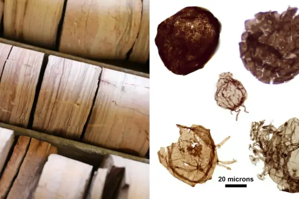
Ancient Australian Rock Cores Reveal the Oxygen-Dependent Origins of Complex Life on Earth

October 6, 2026 rifanmuazin
Stored securely within an open-air warehouse in the tropical climate of Darwin, Australia, lie rows upon rows of unassuming wooden…
GIS and Spatial Technology

Inside the Ecologist’s Toolkit: How Modern Technology and Classic Field Tools Are Revolutionizing Environmental Conservation

October 2, 2026 rifanmuazin
Understanding the complex dynamics of our natural environment has never been more critical. As the planet faces unprecedented ecological shifts,…
Geopolitics and Map News

Bridging Borders: Diplomats and Mobility Experts at WION Summit Chart the Future of Global Travel and Security

October 2, 2026 rifanmuazin
At the recent WION Iconic Tourism Summit, an assembly of international diplomats and mobility-sector experts convened to examine a transformative…
Geopolitics and Map News

The Digital Trap: Why Artificial Intelligence Won’t Free Autocrats from Human Dependence

October 1, 2026 rifanmuazin
Two weeks after Moscow’s full-scale invasion of Ukraine in March 2022, a dramatic breach pierced the tightly controlled facade of…
Location Intelligence and Spatial Analytics

Precisely Announces Virtual Event to Address the Growing Enterprise Gap Between AI Ambition and Data Readiness

September 30, 2026 rifanmuazin
As artificial intelligence continues to dominate corporate technology strategies, enterprise leaders are increasingly confronting a critical hurdle: while AI models…
Drone Mapping and Aerial Photography

Powerus Set to Complete Merger and Become Nasdaq-Listed Drone Company

September 30, 2026 rifanmuazin
Defense technology and autonomous systems developer Powerus is on track to finalize its long-anticipated merger with Aureus Greenway Holdings Inc.…
Travel Hacking and Digital Nomad

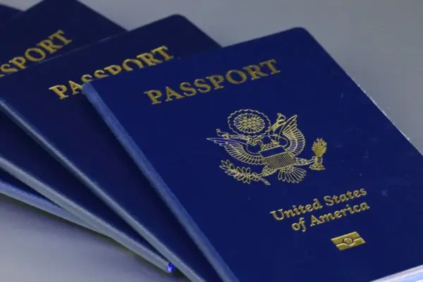
U.S. Unveils Sweeping Passport Overhaul Featuring Digital First-Time Applications and Historic New Designs

September 30, 2026 rifanmuazin
The United States passport is preparing for a major transformation, bringing long-awaited modernization to both the application process and the…
Web Mapping and Cartography

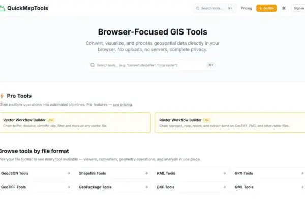
QuickMapTools Launches WebAssembly-Powered Browser GIS Solution for Private, On-Device Spatial Data Processing

September 30, 2026 rifanmuazin
Geospatial specialist Daniel O’Donohue, creator and host of The MapScaping Podcast, has announced the launch of QuickMapTools, a browser-focused platform…
Environmental and Climate Mapping

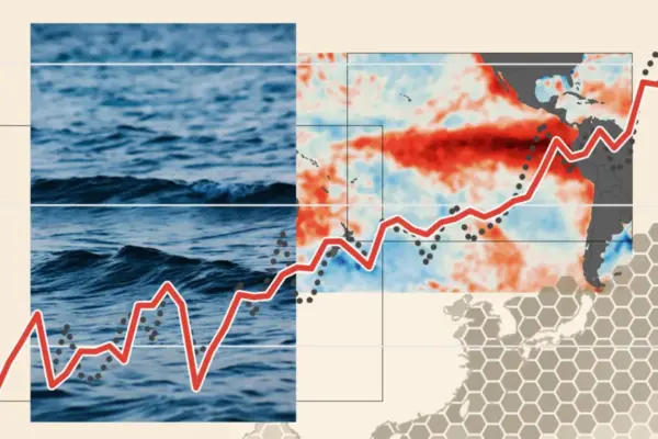
The 2026 ‘Super El Niño’ Enters Record-Breaking Territory, Scientists Confirm

September 28, 2026 rifanmuazin
The climate phenomenon known as El Niño has officially entered unprecedented territory for this time of year, with tropical Pacific…

Posts navigation

Older posts
Newer posts

Recent Posts

  • GeoHound Tool Launches as Chrome Extension to Instantly Detect, Analyze, and Process Web Map Data
  • From ERP Systems to AI Strategy: Inside Aakansha Bhalotia’s 13-Year Tech Journey at Precisely
  • Elistair Unveils Tethered Air Module for the Parrot ANAFI UKR to Enable Extended ISR Missions
  • A 178-Year-Old Train Delay Solves a Major Mystery in the History of Space Weather and Solar Storms
  • Urban Parking Costs and Curb Management Drive Traffic and Transportation Planning Challenges, New Report Shows

Recent Comments

No comments to show.

Archives

  • October 2026
  • September 2026
  • August 2026

Categories

  • Data Visualization and Infographics
  • Disaster Response and Humanitarian Mapping
  • Drone Mapping and Aerial Photography
  • Environmental and Climate Mapping
  • Geography and Earth Science
  • Geolocation and Cybersecurity
  • Geopolitics and Map News
  • GIS and Spatial Technology
  • Location Intelligence and Spatial Analytics
  • Open Data and Civic Tech
  • Open Source Geospatial Software
  • OpenStreetMap and Community Mapping
  • Remote Sensing and Satellite Imagery
  • Transportation and Mobility Tech
  • Travel Hacking and Digital Nomad
  • Urban Planning and Smart Cities
  • Web Mapping and Cartography

© 2026 Hack The Map. All rights reserved.

Theme: The Original by Rifan Muazin.