Skip to content
Breaking News
  • GeoHound Tool Launches as Chrome Extension to Instantly Detect, Analyze, and Process Web Map Data
  • From ERP Systems to AI Strategy: Inside Aakansha Bhalotia’s 13-Year Tech Journey at Precisely
  • Elistair Unveils Tethered Air Module for the Parrot ANAFI UKR to Enable Extended ISR Missions
Thursday, October 22, 2026
Edition: U.S. International Login

Hack The Map

Author: rifanmuazin

Urban Planning and Smart Cities

ABC Companies and VinFast Announce Major Moves to Ease North American Transit Bus Shortages

October 12, 2026 rifanmuazin
The North American transit bus industry is preparing for a significant shake-up as new manufacturing options and international partnerships emerge…

Drone Mapping and Aerial Photography

FAA Part 107 Drone Pilot Test Changes: What Applicants Need to Know for October 26

October 11, 2026 rifanmuazin
The Federal Aviation Administration (FAA) is moving forward with a significant update to its Part 107 remote pilot knowledge test,…
Environmental and Climate Mapping

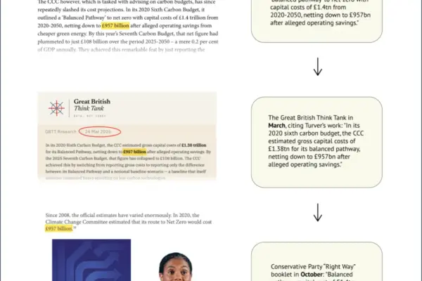
Conservative Policy Document Repeats Doubled Net-Zero Cost Due to Spreadsheet Error

October 11, 2026 rifanmuazin
A policy booklet recently published by the UK’s opposition Conservative Party features a prominent financial figure regarding the “cost of…
Open Source Geospatial Software

GeoServer Security Roundup: Managing the August Zero-Day, Supply Chain Advisories, and AI-Assisted Reports

October 11, 2026 rifanmuazin
As the software development landscape continues to evolve, open-source projects face a shifting array of security challenges, ranging from rapid-fire…
Data Visualization and Infographics

Python SDK v2 Embraces the Stateless Model Context Protocol Specification

October 11, 2026 rifanmuazin
The Model Context Protocol has undergone a fundamental architectural evolution following a major update to its core specification. Released in…
Data Visualization and Infographics

Python Ecosystem Embraces Stateless Model Context Protocol Following Major Specification Update

October 10, 2026 rifanmuazin
The developer ecosystem surrounding the Model Context Protocol (MCP) has entered a new phase following a foundational architecture update. The…
Environmental and Climate Mapping

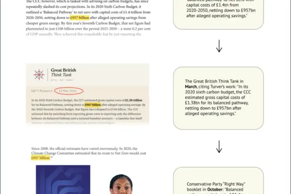
Conservative Party Policy Document Repeats Doubled Net-Zero Cost Due to Spreadsheet Error

October 10, 2026 rifanmuazin
A recent policy booklet published by the UK’s opposition Conservative Party features a prominent financial figure regarding the "cost of…
GIS and Spatial Technology

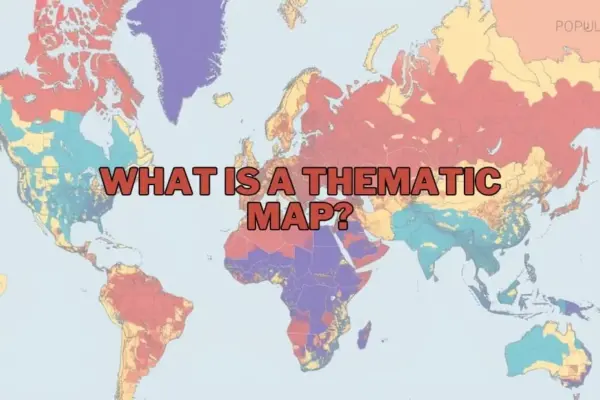
Visualizing the Unseen: How Thematic Maps Transform Complex Data into Spatial Stories

October 9, 2026 rifanmuazin
In an era dominated by big data, the challenge is no longer just gathering information, but making sense of it.…
Data Visualization and Infographics

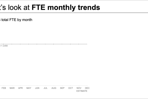
When Less is More: How a Data Storytelling Workshop Transformed a Complex Staffing Report

October 9, 2026 rifanmuazin
When an organization faces an expected staffing shortfall, bringing the issue to leadership’s attention is a critical first step. However,…
Data Visualization and Infographics

Less Is More: How Data Storytelling Workshops Are Reshaping Corporate Reporting and Staffing Shortfall Analyses

October 8, 2026 rifanmuazin
In the modern corporate ecosystem, bringing an expected staffing shortfall to the immediate attention of executive leadership is a fundamental…

Posts navigation

Older posts
Newer posts

Recent Posts

  • GeoHound Tool Launches as Chrome Extension to Instantly Detect, Analyze, and Process Web Map Data
  • From ERP Systems to AI Strategy: Inside Aakansha Bhalotia’s 13-Year Tech Journey at Precisely
  • Elistair Unveils Tethered Air Module for the Parrot ANAFI UKR to Enable Extended ISR Missions
  • A 178-Year-Old Train Delay Solves a Major Mystery in the History of Space Weather and Solar Storms
  • Urban Parking Costs and Curb Management Drive Traffic and Transportation Planning Challenges, New Report Shows

Recent Comments

No comments to show.

Archives

  • October 2026
  • September 2026
  • August 2026

Categories

  • Data Visualization and Infographics
  • Disaster Response and Humanitarian Mapping
  • Drone Mapping and Aerial Photography
  • Environmental and Climate Mapping
  • Geography and Earth Science
  • Geolocation and Cybersecurity
  • Geopolitics and Map News
  • GIS and Spatial Technology
  • Location Intelligence and Spatial Analytics
  • Open Data and Civic Tech
  • Open Source Geospatial Software
  • OpenStreetMap and Community Mapping
  • Remote Sensing and Satellite Imagery
  • Transportation and Mobility Tech
  • Travel Hacking and Digital Nomad
  • Urban Planning and Smart Cities
  • Web Mapping and Cartography

© 2026 Hack The Map. All rights reserved.

Theme: The Original by Rifan Muazin.