Skip to content
Breaking News
  • GeoHound Tool Launches as Chrome Extension to Instantly Detect, Analyze, and Process Web Map Data
  • From ERP Systems to AI Strategy: Inside Aakansha Bhalotia’s 13-Year Tech Journey at Precisely
  • Elistair Unveils Tethered Air Module for the Parrot ANAFI UKR to Enable Extended ISR Missions
Thursday, October 22, 2026
Edition: U.S. International Login

Hack The Map

Author: rifanmuazin

Geolocation and Cybersecurity

Australian Federal Police Arrest Two Suspects Linked to ‘TeamPCP’ Software Supply Chain Extortion Syndicate

September 28, 2026 rifanmuazin
Authorities in Australia have arrested two men believed to be key members of TeamPCP, a prolific cybercrime and data extortion…

Travel Hacking and Digital Nomad

Modernizing Travel Insurance: Why the Industry is Shifting Toward Digital-First Solutions

September 27, 2026 rifanmuazin
For nearly two decades observing and writing about the global travel landscape, the travel insurance industry has often appeared to…
Geopolitics and Map News

Putin Secures Manufactured Parliamentary Supermajority to Fuel Renewed Ukraine Escalation

September 24, 2026 rifanmuazin
The overwhelming victory of President Vladimir Putin’s United Russia party in last weekend’s parliamentary elections was not only expected, but…
GIS and Spatial Technology

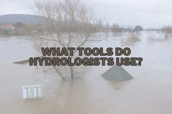
From Stream Gauges to Satellite Imagery: Inside the Essential Toolkit Powering Modern Hydrology and Global Water Management

September 23, 2026 rifanmuazin
Water is the world’s most precious yet increasingly volatile resource. As climate change intensifies weather patterns, societies face a delicate…
Travel Hacking and Digital Nomad

Chase Freedom and Freedom Flex Cardholders to Earn Up to 7% Back on Dining, Groceries and Red Cross Donations in Q4

September 22, 2026 rifanmuazin
Chase has officially announced the fourth-quarter rotating bonus categories for holders of the Chase Freedom Flex and the legacy Chase…
Travel Hacking and Digital Nomad

Our Commitment to Transparency in Credit Card Journalism and Editorial Independence

September 21, 2026 rifanmuazin
In the modern financial landscape, the strategic use of credit cards has evolved from a simple convenience into a sophisticated…
Drone Mapping and Aerial Photography

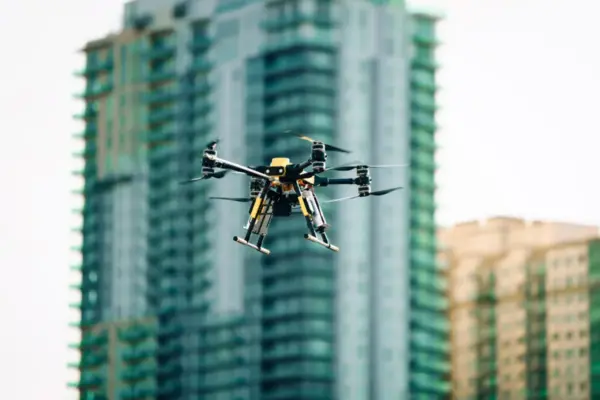
AVI-SPL and Matternet Partner to Bring Autonomous Drone Delivery to Field Technicians in Major Metropolitan Markets

September 19, 2026 rifanmuazin
TAMPA, Fla., and MOUNTAIN VIEW, Calif. — In a move designed to radically transform the logistics of digital workplace technology…
Open Data and Civic Tech

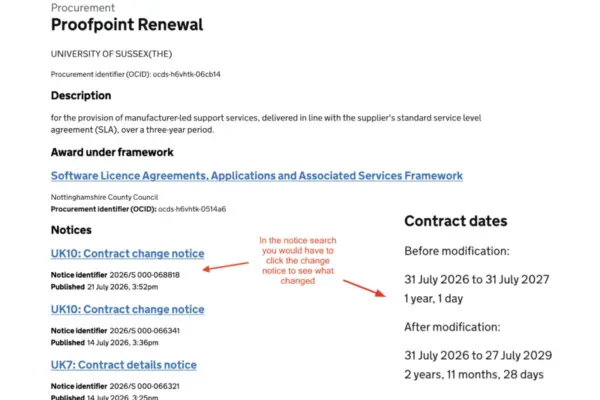
UK Cabinet Office Unveils Major Search Upgrades to Find a Tender Service

September 19, 2026 rifanmuazin
The UK Cabinet Office has rolled out a significant upgrade to the search functionality of the Find a Tender Service…
Environmental and Climate Mapping

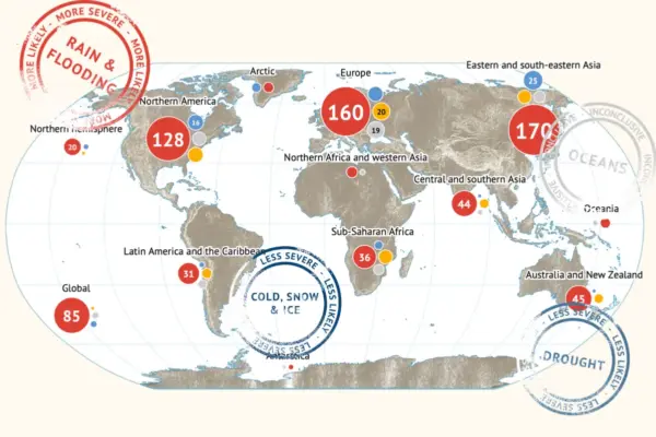
Children Bear the Heaviest Burden of Climate Change-Driven Humid Heat, New Study Reveals

September 13, 2026 rifanmuazin
More than 40 percent of children under the age of ten across the globe are already experiencing at least 20…
Web Mapping and Cartography

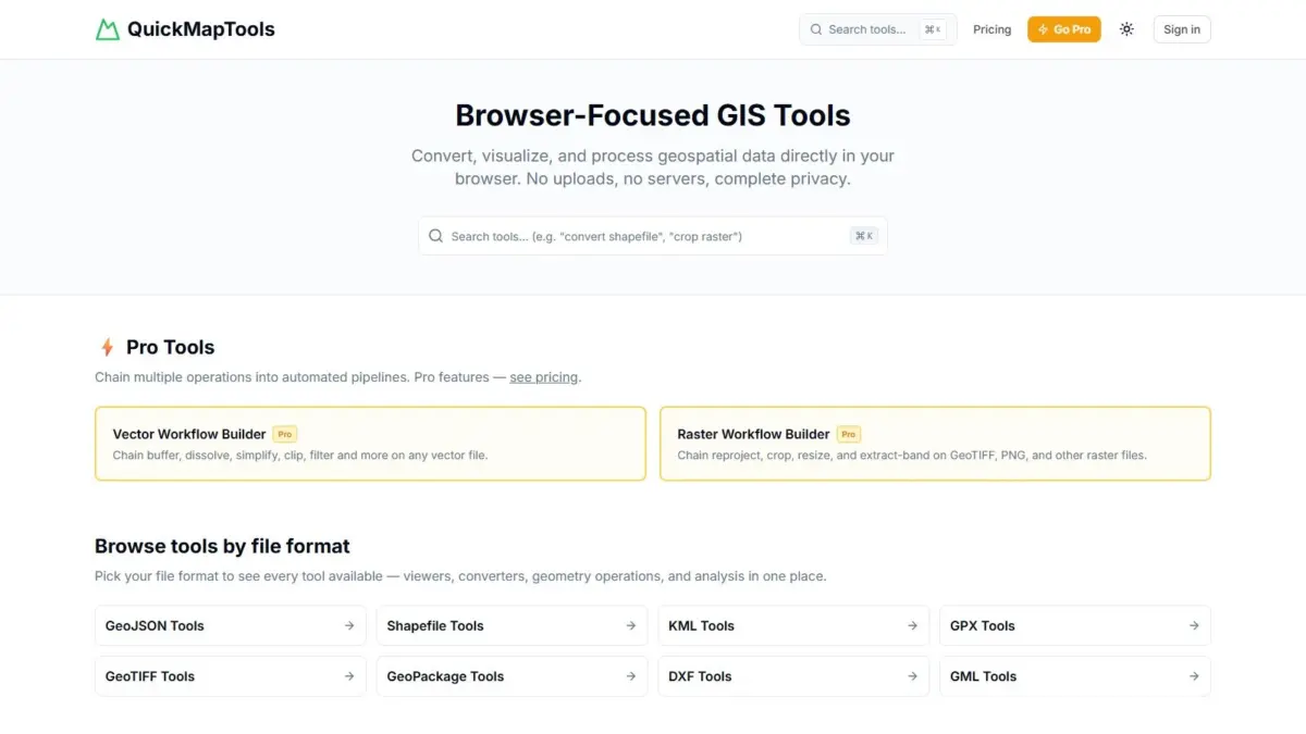
QuickMapTools Introduces WebAssembly Platform for Private, In-Browser Geospatial Data Processing and Workflow Automation

August 15, 2026 rifanmuazin
A new web-based geospatial processing tool, QuickMapTools, has emerged to provide broad spatial data operations entirely within modern web browsers…

Posts navigation

Older posts
Newer posts

Recent Posts

  • GeoHound Tool Launches as Chrome Extension to Instantly Detect, Analyze, and Process Web Map Data
  • From ERP Systems to AI Strategy: Inside Aakansha Bhalotia’s 13-Year Tech Journey at Precisely
  • Elistair Unveils Tethered Air Module for the Parrot ANAFI UKR to Enable Extended ISR Missions
  • A 178-Year-Old Train Delay Solves a Major Mystery in the History of Space Weather and Solar Storms
  • Urban Parking Costs and Curb Management Drive Traffic and Transportation Planning Challenges, New Report Shows

Recent Comments

No comments to show.

Archives

  • October 2026
  • September 2026
  • August 2026

Categories

  • Data Visualization and Infographics
  • Disaster Response and Humanitarian Mapping
  • Drone Mapping and Aerial Photography
  • Environmental and Climate Mapping
  • Geography and Earth Science
  • Geolocation and Cybersecurity
  • Geopolitics and Map News
  • GIS and Spatial Technology
  • Location Intelligence and Spatial Analytics
  • Open Data and Civic Tech
  • Open Source Geospatial Software
  • OpenStreetMap and Community Mapping
  • Remote Sensing and Satellite Imagery
  • Transportation and Mobility Tech
  • Travel Hacking and Digital Nomad
  • Urban Planning and Smart Cities
  • Web Mapping and Cartography

© 2026 Hack The Map. All rights reserved.

Theme: The Original by Rifan Muazin.