Skip to content
Breaking News
  • Understanding Thematic Mapping: How Spatial Data Visualization Reshapes Modern Geographic Analysis and Decision-Making
  • GeoHound Chrome Extension Launches with Automated Web Map Service Detection and Built-In Spatial Workbench
  • From ERP Systems to AI Strategy: Inside Aakansha Bhalotia’s 13-Year Journey Shaping the Future of Tech
Thursday, October 22, 2026
Edition: U.S. International Login

Hack The Map

Author: Lina Irawan

Drone Mapping and Aerial Photography

Equipping Drones with Insect Biology: Japanese Researchers Develop Hydrogel to Keep Bug Antennae Functioning in Flight

October 14, 2026 Lina Irawan
In a significant step forward for the field of biohybrid robotics, a collaborative team of researchers from Shinshu University and…
Data Visualization and Infographics

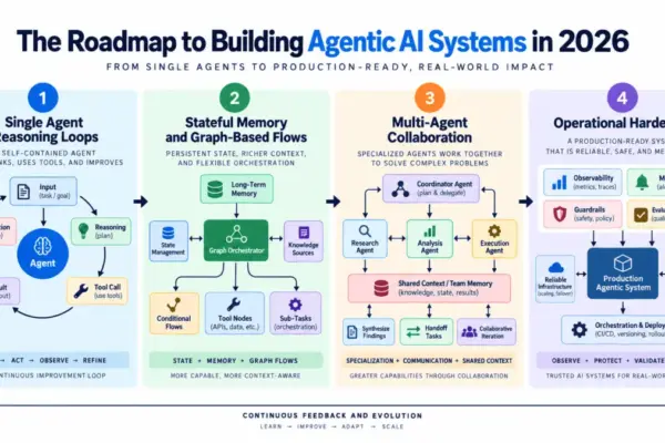
Navigating the Shift to Agentic AI: A Production-Ready Engineering Roadmap

October 14, 2026 Lina Irawan
The concept of agentic artificial intelligence has rapidly transitioned from exploratory academic research into core production infrastructure. Across industries of…
Drone Mapping and Aerial Photography

FAA Part 107 Drone Pilot Test Changes Set for October 26: What Applicants Need to Know

October 11, 2026 Lina Irawan
The Federal Aviation Administration is moving forward with updates to its foundational remote pilot knowledge test, introducing a modernized question…
Geolocation and Cybersecurity

FBI Arrests Cybersecurity Executive Linked to ShinyHunters Probe Following Sensitive Agency Data Breach

October 11, 2026 Lina Irawan
Federal Bureau of Investigation agents have arrested a high-ranking executive from a Canadian cybersecurity firm in Pennsylvania, marking a dramatic…
Environmental and Climate Mapping

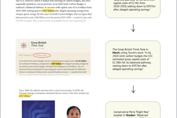
How a Simple Spreadsheet Error Doubled the ‘Cost of Net-Zero’ in UK Conservative Party Policy

October 10, 2026 Lina Irawan
A policy booklet recently published by the UK’s opposition Conservative party has been found to rely on a figure for…
Data Visualization and Infographics

Python Developers Gain Stateless Scaling for AI Integrations Following Major Model Context Protocol Update

October 10, 2026 Lina Irawan
The architecture of modern artificial intelligence integrations underwent a significant operational shift following a fundamental update to the Model Context…
Drone Mapping and Aerial Photography

Cleaning, Painting, and Beyond: Lucid Bots Expands Its Drone Platform

October 8, 2026 Lina Irawan
By Jim Magill, Features Editor The inspiration needed to start a successful, high-impact enterprise can often come from unexpected places.…
Travel Hacking and Digital Nomad

Holafly Launches Ongoing Global eSIM Subscription Plan Targeting Digital Nomads and Frequent Travelers

October 8, 2026 Lina Irawan
Travel technology provider Holafly has introduced a new subscription-based product designed to streamline mobile connectivity for international travelers. Known as…
Location Intelligence and Spatial Analytics

Why Trust Deficits Persist in Modern Data Infrastructure—and How Data Leaders Are Closing the Gap

October 8, 2026 Lina Irawan
Organizations around the globe have poured staggering amounts of capital into modernizing their data architecture. Enterprise budgets have funded expansive…
Geopolitics and Map News

From Market Access to Market Presence: Why Indian States Hold the Key to the India–EU FTA’s Success

October 8, 2026 Lina Irawan
As India and the European Union move closer to deepening their bilateral economic ties through a landmark Free Trade Agreement…

Posts navigation

Older posts
Newer posts

Recent Posts

  • Understanding Thematic Mapping: How Spatial Data Visualization Reshapes Modern Geographic Analysis and Decision-Making
  • GeoHound Chrome Extension Launches with Automated Web Map Service Detection and Built-In Spatial Workbench
  • From ERP Systems to AI Strategy: Inside Aakansha Bhalotia’s 13-Year Journey Shaping the Future of Tech
  • Elistair Unveils Tethered Air Module for Parrot ANAFI UKR to Enable Hours of Uninterrupted ISR Missions
  • A Mysterious 180-Year-Old Train Delay Reveals a Major Chronological Error in Space Weather History

Recent Comments

No comments to show.

Archives

  • October 2026
  • September 2026
  • August 2026

Categories

  • Data Visualization and Infographics
  • Disaster Response and Humanitarian Mapping
  • Drone Mapping and Aerial Photography
  • Environmental and Climate Mapping
  • Geography and Earth Science
  • Geolocation and Cybersecurity
  • Geopolitics and Map News
  • GIS and Spatial Technology
  • Location Intelligence and Spatial Analytics
  • Open Data and Civic Tech
  • Open Source Geospatial Software
  • OpenStreetMap and Community Mapping
  • Remote Sensing and Satellite Imagery
  • Transportation and Mobility Tech
  • Travel Hacking and Digital Nomad
  • Urban Planning and Smart Cities
  • Web Mapping and Cartography

© 2026 Hack The Map. All rights reserved.

Theme: The Original by Rifan Muazin.