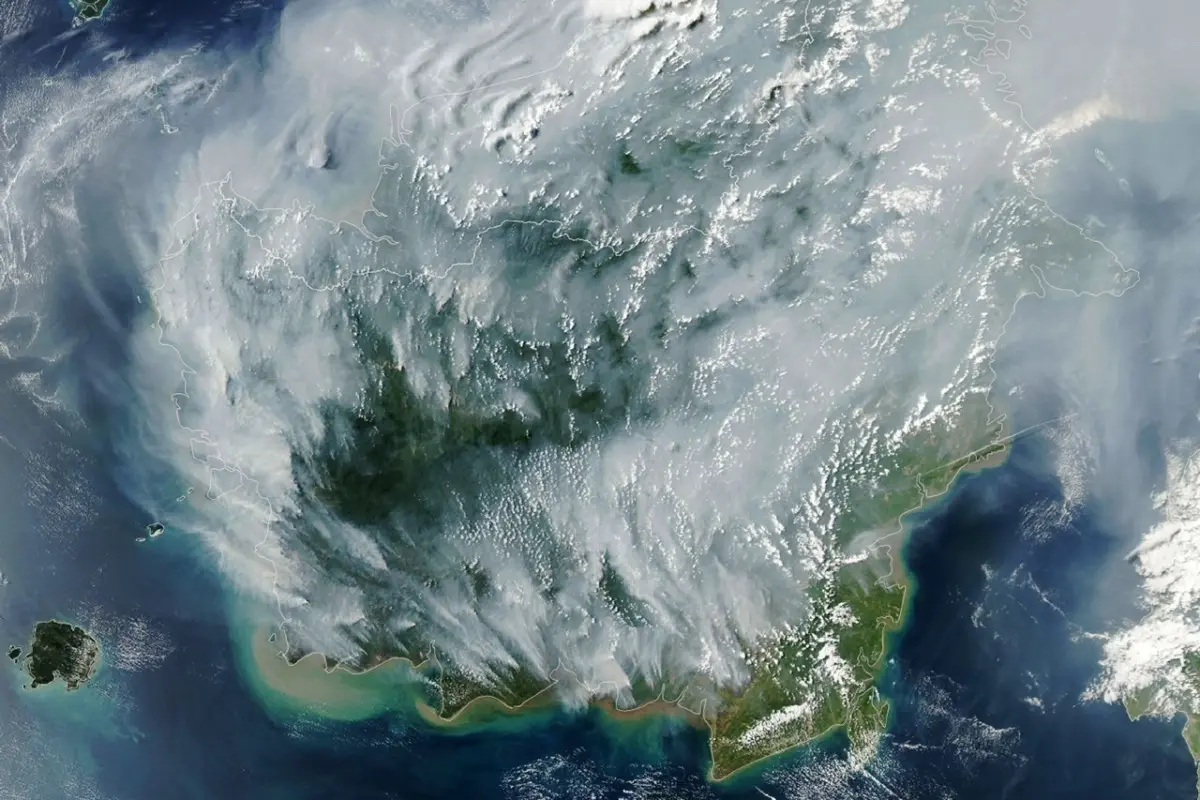
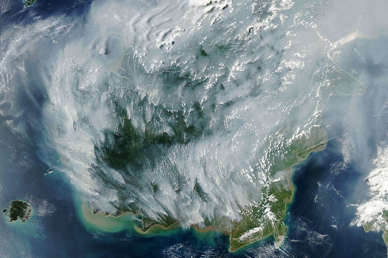
As a severe drought grips Indonesia, a familiar and destructive crisis is unfolding across the archipelago. Fires are currently smoldering on both the surface and deep underground within the nation’s expansive tropical peatlands. Captured on September 1, 2026, by the Moderate Resolution Imaging Spectroradiometer (MODIS) on NASA’s Aqua satellite, the unfolding fire season highlights the extreme vulnerability of the region’s unique wetland ecosystems when subjected to prolonged dry spells and powerful climatic drivers.
If there were an apex predator among fires, tropical peatland fires would be a top contender. These subterranean blazes, which burn within dried wetland soils, are notoriously difficult to extinguish, highly polluting, and slow-moving. Because they smolder at low temperatures and burn underground through vast, thick deposits of peat, standard firefighting tactics often prove insufficient.
According to scientific estimates, tropical peat fires generate staggering amounts of harmful emissions compared to standard tropical forest fires. They produce roughly three times more fine particulate matter, five times more sulfur dioxide, three times more organic carbon, and twice as much methane and carbon monoxide. These emissions pose severe public health risks and contribute massively to global greenhouse gas concentrations.
Peat fires are a recurring, cyclical challenge in Indonesia, a country that harbors approximately 36 percent of the world’s tropical peatlands. Parched repeatedly by drought over the past three decades, these fragile landscapes have occasionally transformed into unrelenting infernos. These extreme events have produced thick, choking blankets of smoke for weeks on end, disrupting regional air travel, closing schools and national parks, and severely upending the daily lives of millions of people across Indonesia and neighboring countries.
While low-level fires occur in Indonesia every year during the dry season, historical data shows that previous El Niño years—most notably 1997 and 2015—produced the most extreme and widespread burning in recent decades. The El Niño climate pattern, assessed by the National Oceanic and Atmospheric Administration (NOAA) as active and strengthening in August 2026, typically leads to sharp reductions in rainfall across Indonesia. This drying effect is further amplified when combined with a positive phase of the Indian Ocean Dipole, which was also present during the current season.
"Indonesia is only about three weeks into its fire season, but we’re seeing fire activity track sharply upward, similar to 2015," said Robert Field, a researcher at Columbia University who developed the Global Fire Weather Database, a tool that produces experimental, real-time fire weather forecasts. "The strong El Niño is making the dry season drier over the fire-prone parts of the country and exacerbating burning—just as we anticipated it would," Field explained.
During the catastrophic 2015 season, Indonesian fires burned for more than three months, releasing an estimated 1.75 billion tons of greenhouse gas equivalents—surpassing the annual emissions of Japan. In comparison, as of September 2, 2026, after burning for roughly a month, this year’s fires have already released approximately 10 percent of the total emissions recorded during the entire 2015 disaster.
The immediate catalyst for the current emergency is a severe and widespread drought that took hold of Indonesia in the summer of 2026. Data from the Indonesian meteorological agency indicates that about 90 percent of the country received little to no rainfall during early August. Under normal, wetter conditions, moisture prevents fires from spreading deep into the underground peat deposits found extensively in regions such as Kalimantan, Sumatra, and Papua. However, prolonged dry conditions remove this natural barrier.
"Surface fires are less of a concern, but when fires get underground, they just won’t stop," Field noted. "They’ll keep burning until the rains come in October or November."
To monitor and manage the spreading crisis, the Indonesian government relies heavily on satellite observations from NASA and NOAA sensors, including MODIS and VIIRS (Visible Infrared Imaging Radiometer Suite), to track active blazes in near-real-time. Platforms such as the Indonesian Ministry of Forestry’s SiPongi fire-monitoring system tallied 946 hotspots across the country on August 31, 2026.

Despite the sophistication of modern satellite technology, tracking peatland fires presents significant technical hurdles. Sensors like MODIS and VIIRS struggle to detect thermal anomalies through thick layers of smoke or heavy cloud cover, as well as beneath the dense forest canopy or underground within peat layers. Paradoxically, during the most intense burning phases when smoke output is highest, the number of recorded fire detections can actually drop.
"The worst smoke events, paradoxically, can be the hardest to observe from space with MODIS and VIIRS," said Mark Cochrane, an ecologist at the University of Maryland Center for Environmental Science, who has conducted field research on peat fires in Indonesia for nearly a decade.
Cochrane points out that human alterations to the landscape have significantly worsened the region’s flammability over the past few decades. The large-scale construction of irrigation canals and the deliberate drainage of peat swamps in the 1990s—undertaken as part of an ambitious but ultimately failed mega-rice farming project—substantially lowered the water table in critical wetland areas. Oil palm and other plantation forestry developments have also become common across the affected regions, further altering the natural hydrology.
In the wake of the grim 2015 fire season, however, government bodies and conservation organizations implemented corrective measures. These efforts have included damming up various agricultural irrigation canals to restore wetland moisture levels, bolstering national firefighting capabilities, and launching public campaigns to reduce accidental human-caused ignitions.
"This year will be a real stress test of the measures that were put in place after 2015," said Shi Jun Wee, a graduate student at the University of Maryland. Wee is part of a collaborative research team partnering with NASA and MapBiomas to develop advanced algorithms. By utilizing shortwave infrared observations from Landsat and Sentinel-2 satellites, the team aims to detect understory fires that typically evade detection by MODIS and VIIRS. As the season progresses, Wee plans to monitor the situation using NASA’s Worldview data browser, the Fire Information for Resource Management System (FIRMS), Harmonized Landsat and Sentinel-2 (HLS) observations, and the Global Fire Emissions Database (GFED).

On the ground, the immediate impacts of the smoke and fires are already causing widespread societal disruptions. Indonesian authorities have issued health warnings, noting that large segments of the population have been exposed to hazardous air quality. In response to the worsening conditions, educational institutions in heavily affected areas have shifted to remote learning, nine national parks have been closed to the public, and heavy smoke has forced the delay of multiple flights at regional airports.
Researchers emphasize that long-term vigilance is essential to preventing future ecological and atmospheric catastrophes of this scale. "People tend to focus on these fires during an El Niño and then forget about them," Cochrane said. "We need sustained focus, even during the years when they aren’t as bad, to solve this. These fires create a tremendous amount of emissions."