Skip to content
Breaking News
  • Decoding Spatial Data: The Growing Role and Impact of Thematic Maps in Modern Visual Analytics
  • Precisely Introduces Automate MCP Server and Native OData Support to Bridge the Gap Between Enterprise AI and SAP
  • Your Own Personal eVTOL? Skyfly Raises $10 Million to Bring the Axe to Market
Wednesday, October 21, 2026
Edition: U.S. International Login

Hack The Map

Month: October 2026

Open Source Geospatial Software

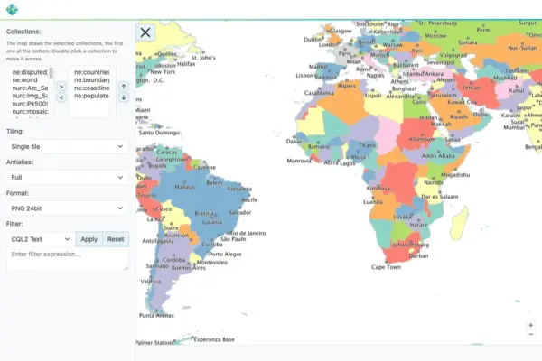
GeoServer 3.0.2 Officially Released with Production-Ready Stability, Security Upgrades, and New Cloud and Compliance Features

October 20, 2026 Nana Muazin
The GeoServer development team has officially announced the immediate availability of GeoServer 3.0.2, a stable production-ready release designed to deliver…

Transportation and Mobility Tech

Comprehensive New Industry Analysis Ranks Top Wheelchairs for Mobility, Comfort, and Value

October 20, 2026 Ammar Sabilarrohman
Wheelchairs remain one of the most widely utilized forms of medical equipment across the globe, serving as an indispensable lifeline…
Data Visualization and Infographics

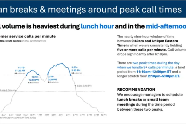
Beyond Minimalism: Why Effective Data Storytelling Depends on the Right Words, Not Fewer Words

October 20, 2026 Asro
In the modern corporate landscape, data visualization has increasingly become the bedrock of operational decision-making. Yet, a fundamental tension persists…
Data Visualization and Infographics

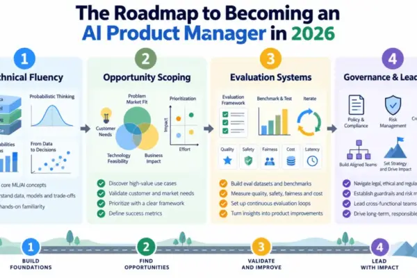
Navigating the Shift: The Emerging Blueprint for AI Product Managers in 2026

October 20, 2026 Lina Irawan
Artificial intelligence is fundamentally reshaping how digital products are conceptualized, built, shipped, and measured across industries. As organizations race to…
GIS and Spatial Technology

Understanding the Power of Thematic Mapping: How Spatial Visualizations Shape Modern Data Analysis and Policy

October 20, 2026 Evan Lee Salim
In an era increasingly defined by complex datasets and information overload, geographic maps have evolved far beyond basic tools for…
Location Intelligence and Spatial Analytics

Precisely Unveils Unified Platform and AI Studio to Solve the Enterprise Data Crisis

October 20, 2026 Lina Irawan
As artificial intelligence moves rapidly from experimental testing into core enterprise operations, organizations worldwide are discovering a stubborn bottleneck: their…
Drone Mapping and Aerial Photography

Ukraine Uses Heavy-Lift Drone to Evacuate Wounded Soldier in First Documented Rescue

October 20, 2026 Raul Delapena Setiawan
Ukrainian forces have successfully carried out what is being described as the world’s first front-line evacuation of a wounded soldier…
Geography and Earth Science

Alaska’s Mega-Landslide and Tsunami Reveal Urgent Need for Arctic Early Warning Systems

October 20, 2026 Dwi Wanna
On the warm summer evening of August 9, 2025, passengers aboard the expedition vessel Hanse Explorer gathered on the deck…
Urban Planning and Smart Cities

Bloomberg Philanthropies Awards $10.5M to 14 Cities to Replicate Proven Housing Innovations

October 20, 2026 Lina Irawan
As municipal leaders across the United States grapple with an unrelenting affordable housing shortage, a major new philanthropic push is…
Geopolitics and Map News

China Lays the Groundwork for a "Green Yuan" to Counter the Dominance of the U.S. Dollar

October 20, 2026 Dwi Wanna
In 1971, as the international monetary system hovered on the brink of collapse, U.S. Treasury Secretary John Connally offered a…

Posts navigation

Older posts
Newer posts

Recent Posts

  • Decoding Spatial Data: The Growing Role and Impact of Thematic Maps in Modern Visual Analytics
  • Precisely Introduces Automate MCP Server and Native OData Support to Bridge the Gap Between Enterprise AI and SAP
  • Your Own Personal eVTOL? Skyfly Raises $10 Million to Bring the Axe to Market
  • New Research Reveals Critical Limitations in Updated National Hurricane Center Forecast Maps
  • Voters in Four States to Decide Record Number of Housing Measures This November

Recent Comments

No comments to show.

Archives

  • October 2026
  • September 2026
  • August 2026

Categories

  • Data Visualization and Infographics
  • Disaster Response and Humanitarian Mapping
  • Drone Mapping and Aerial Photography
  • Environmental and Climate Mapping
  • Geography and Earth Science
  • Geolocation and Cybersecurity
  • Geopolitics and Map News
  • GIS and Spatial Technology
  • Location Intelligence and Spatial Analytics
  • Open Data and Civic Tech
  • Open Source Geospatial Software
  • OpenStreetMap and Community Mapping
  • Remote Sensing and Satellite Imagery
  • Transportation and Mobility Tech
  • Travel Hacking and Digital Nomad
  • Urban Planning and Smart Cities
  • Web Mapping and Cartography

© 2026 Hack The Map. All rights reserved.

Theme: The Original by Rifan Muazin.