Skip to content
Breaking News
  • From ERP to AI Strategy: How Precisely’s Aakansha Bhalotia Is Shaping the Future of Enterprise Technology
  • Elistair Unveils Advanced Tethered Solution for the Parrot ANAFI UKR Micro-UAV
  • 178-Year-Old Railway Mystery Solved by Scientists Uncovering Early Space Weather Error
Wednesday, October 21, 2026
Edition: U.S. International Login

Hack The Map

Month: October 2026

Environmental and Climate Mapping

More Than Half of World’s Nations Meet UN Deadline for Nature Pledges Ahead of COP17 Summit

October 18, 2026 Reynand Wu
Nearly three years after a landmark international agreement was forged to halt the destruction of the natural world, a significant…
Geolocation and Cybersecurity

UK Sanctions Cryptocurrency Platform Cryptomus Over Illicit Payments Supporting Russia’s Wartime Economy

October 18, 2026 Raul Delapena Setiawan
The United Kingdom has officially levied severe economic sanctions against Cryptomus, a chameleon-like cryptocurrency payment platform that cybersecurity and blockchain…
Open Source Geospatial Software

GeoServer Issues Urgent Security Update After August Zero-Day Exploitation and Summer Vulnerability Review

October 18, 2026 Muslim
The GeoServer project has issued a comprehensive security recap detailing a turbulent summer of 2026, which included managing a critical…
Transportation and Mobility Tech

Comprehensive New Industry Analysis Identifies Top-Rated Wheelchairs for Enhanced Mobility and Comfort

October 18, 2026 Layla Zulfa
Wheelchairs remain one of the most widely utilized forms of medical equipment globally, serving as a critical lifeline for individuals…
Data Visualization and Infographics

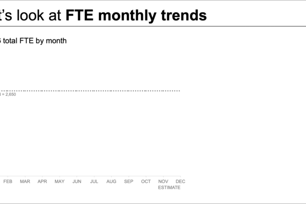
Simplifying Staffing Data: How to Communicate Workforce Shortfalls Effectively to Leadership

October 18, 2026 Asro
When an organization faces an expected staffing shortfall, bringing the issue to the attention of leadership is a critical first…
Data Visualization and Infographics

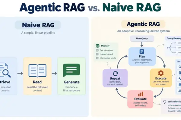
Beyond Naive Retrieval: How Agentic RAG is Reshaping Enterprise AI Architecture

October 18, 2026 Nana Muazin
Large language models have fundamentally transformed how organizations approach text generation, yet they remain plagued by a persistent and well-documented…
Web Mapping and Cartography

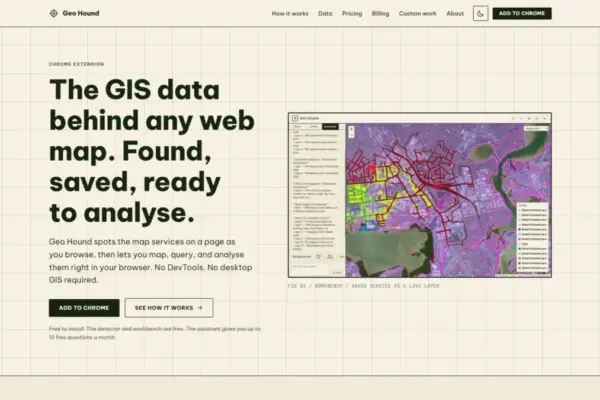
New Chrome Extension GeoHound Simplifies Web Map Data Extraction and Spatial Analysis with Built-In Browser Workbench and AI

October 18, 2026 Dwi Wanna
A new Google Chrome extension named GeoHound aims to streamline how spatial professionals, researchers, and mapping enthusiasts discover and analyze…
OpenStreetMap and Community Mapping

OpenStreetMap Foundation Working Group Launches 2026 Microgrants Program to Support Grassroots Community Projects

October 18, 2026 Evan Lee Salim
The Local Chapters and Communities Working Group of the OpenStreetMap Foundation has officially unveiled the 2026 Community Microgrants program, a…
Location Intelligence and Spatial Analytics

Precisely Unveils Unified Platform, AI Studio, and MCP Servers to Help Enterprises Build AI-Ready Data

October 18, 2026 Muslim
The landscape of enterprise technology is shifting beneath the feet of Chief Data Officers and IT leaders worldwide. On October…
Drone Mapping and Aerial Photography

Senator Cites Classified Security Findings in Defense of DJI and Autel Restrictions

October 18, 2026 Nana Muazin
Federal Communications Commission (FCC) filings have brought new attention to the ongoing battle over foreign-manufactured unmanned aerial systems (UAS). Senator…

Posts navigation

Older posts
Newer posts

Recent Posts

  • From ERP to AI Strategy: How Precisely’s Aakansha Bhalotia Is Shaping the Future of Enterprise Technology
  • Elistair Unveils Advanced Tethered Solution for the Parrot ANAFI UKR Micro-UAV
  • 178-Year-Old Railway Mystery Solved by Scientists Uncovering Early Space Weather Error
  • Voters Across Four States to Decide Record Number of Housing Ballot Measures This November
  • How Moscow’s Evolving Strategic Mindset is Redrawing the Security Map of Europe

Recent Comments

No comments to show.

Archives

  • October 2026
  • September 2026
  • August 2026

Categories

  • Data Visualization and Infographics
  • Disaster Response and Humanitarian Mapping
  • Drone Mapping and Aerial Photography
  • Environmental and Climate Mapping
  • Geography and Earth Science
  • Geolocation and Cybersecurity
  • Geopolitics and Map News
  • GIS and Spatial Technology
  • Location Intelligence and Spatial Analytics
  • Open Data and Civic Tech
  • Open Source Geospatial Software
  • OpenStreetMap and Community Mapping
  • Remote Sensing and Satellite Imagery
  • Transportation and Mobility Tech
  • Travel Hacking and Digital Nomad
  • Urban Planning and Smart Cities
  • Web Mapping and Cartography

© 2026 Hack The Map. All rights reserved.

Theme: The Original by Rifan Muazin.