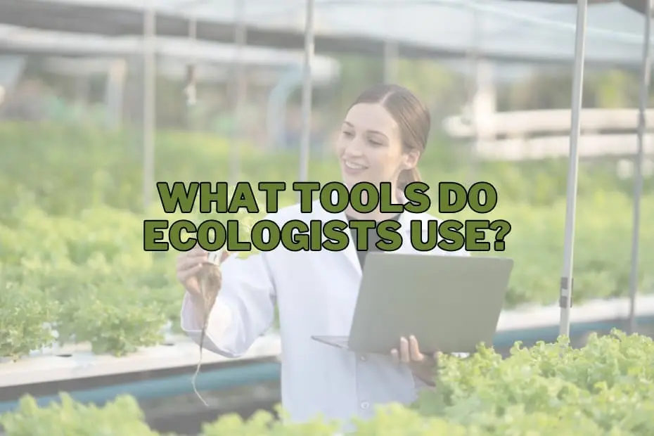
Ecological research plays a fundamental role in helping society understand the intricate dynamics of the natural world. As global ecosystems face unprecedented pressures from environmental changes, land development, and habitat degradation, the work of ecologists has become increasingly critical. To make informed decisions regarding environmental protection and natural resource management, researchers must gather precise data and systematically observe biological communities across diverse landscapes.
To accomplish this work, ecologists rely on a versatile array of tools, blending time-tested traditional instruments with sophisticated electronic hardware and spatial analysis software. From basic physical frames used on the forest floor to aerial drones soaring over remote canopy layers, these tools allow scientists to examine ecosystems in extraordinary detail. Whether analyzing soil chemistry, mapping wildlife corridors, or monitoring climate trends over long durations, the instruments used in field research are essential for assessing biodiversity and maintaining environmental health.
Binoculars
Binoculars remain one of the most fundamental and widely used field instruments in ecological research. They provide scientists with the ability to observe wildlife—particularly birds, mammals, and arboreal organisms—from a distance without altering the natural behavior of the subjects or causing unnecessary stress to sensitive species.
By maintaining a non-intrusive vantage point, researchers can collect accurate behavioral data, perform population censuses, and track species interactions within a given habitat. Binoculars are an essential tool during wildlife tracking and monitoring initiatives, serving as a primary line of defense in identifying species, observing nesting or feeding patterns, and identifying individual animals in conservation zones.
GPS Devices
Global Positioning System (GPS) devices are essential navigation and spatial recording tools for ecologists operating in unfamiliar or challenging environments. Fieldwork often requires navigating dense forests, expansive wetlands, mountainous regions, and arid deserts where visual landmarks may be scarce. GPS technology ensures that research teams can travel safely across difficult terrain and return to their base locations without getting lost.
Beyond basic navigation, GPS devices play a crucial role in spatial data collection. Ecologists use these instruments to mark exact geographic coordinates for habitat analysis, establish permanent sampling sites, and plot wildlife sightings. This precise spatial positioning allows scientists to map habitats accurately, track animal movement corridors, and conduct long-term biodiversity monitoring that reveals how ecosystems shift over time.
Soil Samplers
Understanding the condition of an ecosystem requires looking beneath the surface, where soil health directly influences plant growth, water retention, and microbial activity. Soil samplers—including core samplers and augers—are used to extract soil columns from various depths without destroying the surrounding soil structure.
Once collected, soil samples are tested for nutrient concentrations, pH levels, moisture retention, and potential chemical contaminants. Data gathered from soil sampling gives ecologists a clear picture of fundamental ecosystem drivers. Because soil quality directly impacts vegetation patterns and food availability for local fauna, soil analysis forms a critical foundation for environmental impact assessments and land restoration projects.
Data Loggers
Data loggers are compact electronic devices capable of continuously recording environmental parameters over extended periods. Placed in field sites for weeks, months, or even years, these instruments automatically monitor fluctuations in temperature, relative humidity, solar intensity, and soil moisture without requiring the continuous physical presence of a researcher.
The primary value of data loggers lies in their ability to establish consistent long-term records. By analyzing these continuous data streams, ecologists can track localized microclimate variations and evaluate the broader effects of climate change on specific habitats. The comprehensive records generated by data loggers help conservationists identify environmental stresses early and plan targeted management interventions.
Camera Traps
Camera traps have revolutionized wildlife monitoring, particularly in remote or inaccessible regions where human presence might scare off sensitive species. These rugged, weather-resistant cameras are equipped with passive infrared motion sensors that trigger recording whenever an animal passes by.
Camera traps provide a non-invasive method for documenting shy, nocturnal, or endangered species. The images and video footage captured give researchers critical data regarding animal population densities, movement schedules, territorial ranges, and multi-species interactions. By minimizing human intervention, camera traps deliver authentic insights into wildlife behaviors without disturbing natural routines.
Quadrats
Quadrats are standard, square frame tools used by ecologists to study vegetation cover, plant density, and non-mobile organism distributions within a defined area. Constructed from durable materials such as PVC, metal, or wood, quadrats vary in size depending on the scale of the vegetation being surveyed.
During field sampling, ecologists place quadrats along predetermined sampling lines (transects) to count species, identify plant types, and estimate total ground cover percentage. This standardized sampling approach enables scientists to extrapolate plant population estimates across larger landscapes, analyze plant community structures, and observe long-term vegetative changes resulting from climate pressures or land management practices.
Field Guides
Field guides are detailed, highly illustrated reference books that serve as portable taxonomic resources for researchers working in the wild. Containing precise anatomical descriptions, geographic distribution maps, and key visual identifiers, field guides enable ecologists to accurately classify flora, fauna, insects, and fungi directly in the field.
Accurate species identification is vital for maintaining high data integrity during ecological surveys. Field guides allow researchers to distinguish between closely related species, spot invasive organisms, and flag rare or threatened taxa. Correct identification ensures that biodiversity assessments accurately reflect ecosystem composition and highlight potential ecological threats.
Drones
Unmanned Aerial Vehicles (UAVs), commonly known as drones, have transformed modern environmental research by providing access to aerial perspectives previously attainable only through expensive satellite imaging or piloted aircraft flights. Drones equipped with high-resolution cameras can quickly survey vast tracts of land, capturing detailed images of forest canopies, coastal shorelines, and wetland systems.
Ecologists deploy drones for habitat mapping, canopy density evaluation, terrain profiling, and aerial wildlife counting. Drones are particularly valuable in hazardous or ecologically fragile locations, such as marshlands or cliff faces, where ground access is restricted or physically damaging to the environment. The aerial data gathered offers structural insights into landscape connectivity that are impossible to perceive from ground level alone.
GIS Software
Geographic Information System (GIS) software is a specialized computational tool used to organize, analyze, and visualize spatial environmental data. Ecologists input data collected from GPS units, drones, satellite imagery, and ground surveys into GIS platforms to create interactive, multi-layered maps.
GIS software allows researchers to model spatial relationships between species distributions, topographic features, human infrastructure, and environmental hazards. By running spatial simulations and habitat suitability models, ecologists can predict how land-use changes or climate shifts might impact ecosystem health, empowering decision-makers to design effective conservation zones and land management policies.
pH Meters
pH meters are electronic instruments designed to measure the hydrogen-ion activity in liquid and soil solutions, indicating whether a sample is acidic, neutral, or alkaline. Because biochemical reactions in nature are sensitive to acidity levels, pH balance strongly influences species survival and nutrient availability.
Ecologists use pH meters to evaluate soil chemistry and aquatic environments. Fluctuations in pH can signal industrial runoff, acid rain deposition, or agricultural pollution. By tracking pH variations in lakes, streams, and forest soils, researchers can assess habitat viability for aquatic life and vegetation, detecting environmental degradation long before physical symptoms appear in the local wildlife.
Radio Telemetry Equipment
Radio telemetry equipment consists of small radio transmitters attached to animals via collars, harnesses, or tags, along with portable receiver units connected to directional antennas. As tagged animals move through their natural habitats, researchers use receivers to pick up radio signals and locate the individuals.
This tracking technology provides precise real-time data regarding animal home ranges, seasonal migration routes, habitat selection, and mortality rates. Radio telemetry is particularly vital for tracking threatened or wide-ranging species, delivering actionable spatial data necessary to design connected wildlife corridors and protected reserves.
Sweep Nets
Sweep nets are sturdy cloth or fine-mesh nets attached to rigid handles, designed to capture insects and small invertebrates from grasses, shrubs, and low canopy foliage. Researchers sweep the nets back and forth through vegetation along set transects to sample localized insect populations.
Because insects play central roles in pollination, nutrient cycling, and food web support, tracking their populations offers valuable insights into overall ecosystem stability. Sweep nets enable ecologists to measure insect abundance and diversity rapidly, providing essential metrics for evaluating habitat health and environmental changes.
Hydrology Sensors
Hydrology sensors are specialized monitoring instruments deployed in streams, rivers, lakes, and estuaries to measure physical and chemical water characteristics. These sensors track parameters such as water temperature, flow velocity, electrical conductivity, dissolved oxygen levels, and turbidity.
By collecting real-time hydrological data, ecologists can evaluate aquatic habitat quality, track flow patterns, and pinpoint potential sources of contamination. Clean, properly oxygenated water is vital for aquatic life, making hydrology sensors indispensible tools for watershed management, wetland restoration, and aquatic ecosystem monitoring.
Light Meters
Light meters—also known as photometers or lux meters—are devices used to quantify the intensity of light reaching a specific location. In ecological research, these instruments measure photosynthetically active radiation (PAR) available to plant communities at varying forest canopy levels.
Measuring light availability helps ecologists understand plant competition, forest regeneration patterns, and understory microclimates. By analyzing how light passes through tree canopies to the forest floor, researchers can determine how canopy loss, tree clearing, or natural forest gaps influence seedling growth and plant diversity.
Anemometers
Anemometers are instruments designed to measure wind speed and direction within an environment. Wind acts as a major physical force influencing microclimates, seed dispersion, spore transport, atmospheric moisture evaporation, and animal behavior.
In open landscapes like grasslands, coastal bluffs, and desert regions, anemometers provide environmental data essential for understanding microclimatic stresses on flora and fauna. Integrating wind dynamics into habitat analysis helps ecologists model seed dispersal ranges, assess localized erosion risks, and understand physical adaptations among resident organisms.
Frequently Asked Questions: What Tools Do Ecologists Use?
What is the most commonly used tool by ecologists?
Binoculars are widely considered the most essential day-to-day tool for ecologists. They allow researchers to monitor wildlife, observe animal behavior, and perform species identifications from a safe distance without disturbing natural behaviors or stressing wild populations.
Why do ecologists use drones in field research?
Ecologists deploy drones to collect high-resolution aerial imagery, construct continuous habitat maps, and survey remote or inaccessible landscapes. Drones provide a wide-angle view of landscape connectivity and permit rapid data collection across fragile environments without disturbing ground cover.
What are quadrats used for in ecology?
Quadrats are standardized square frames used to mark off set ground areas to count plant species, measure vegetative density, calculate percent cover, and track plant population dynamics over time.
How do GPS devices assist ecologists during fieldwork?
GPS devices serve two primary functions: safe navigation through challenging outdoor environments and precise spatial mapping. Researchers use them to record geographic coordinates for wildlife observations, trace habitat boundaries, and revisit exact sampling locations for longitudinal studies.
Why is measuring pH important in ecological studies?
Measuring pH levels in water and soil provides key insights into ecosystem health. Acidity levels dictate nutrient availability for plants and influence aquatic life survival rates, making pH measurement essential for monitoring pollution, detecting environmental degradation, and evaluating habitat suitability.