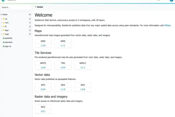
The GeoServer development community has officially announced the immediate availability of GeoServer 3.0.2, a stable release heavily recommended for enterprise and production environments. Coming on the heels of earlier iterations in the 3.0 series, this latest version bundles a robust array of core dependency upgrades, important security hardening measures, and advanced community modules designed to expand geospatial interoperability and compliance across diverse institutional deployments.
Users can now download the complete GeoServer 3.0.2 distribution through multiple formats, including binary packages, WAR archives for servlet container deployment, and a dedicated Windows setup executable. In tandem with the core software release, comprehensive documentation packages and a full suite of extensions have also been published to SourceForge.
Under the hood, GeoServer 3.0.2 incorporates the latest stable upstream projects to guarantee peak performance and modern library standards. This release integrates GeoTools 35.2, GeoWebCache 2.0.2, mapfish-print-v2 version 2.5.2, and ImageN 0.9.3. Furthermore, a synchronized release of GeoServer Cloud 3.0.2 has been made available concurrently, marking the first time in the project’s history that an updated cloud-native architecture has launched on the exact same day as the primary software release.
Project contributors played crucial roles in bringing this version to fruition. Jody Garnett of GeoCat managed the overarching release process, while Andrea Aime of GeoSolutions handled rigorous quality assurance and testing. Meanwhile, the concurrent deployment of GeoServer Cloud was successfully executed through the collaborative efforts of Alessio Fabiani from GeoSolutions and Gabriel Roldan representing Camptocamp.
Security Considerations
As part of its mandate to provide reliable infrastructure for critical geospatial data pipelines, GeoServer 3.0.2 addresses multiple security vulnerabilities, making it an essential and urgent upgrade for all production systems currently operating in the wild. Project maintainers have noted that detailed technical explanations regarding the specific security fixes implemented in this build will be officially published at the beginning of November.
Enterprise administrators managing mission-critical map services are encouraged to review the project’s official security policy repository on GitHub to understand how vulnerabilities are systematically tracked, patched, and managed across the ecosystem. Ensuring that production nodes are promptly updated to this latest stable build remains a top priority for system architects and network security teams worldwide.
OGC API Maps 1.0 Integration
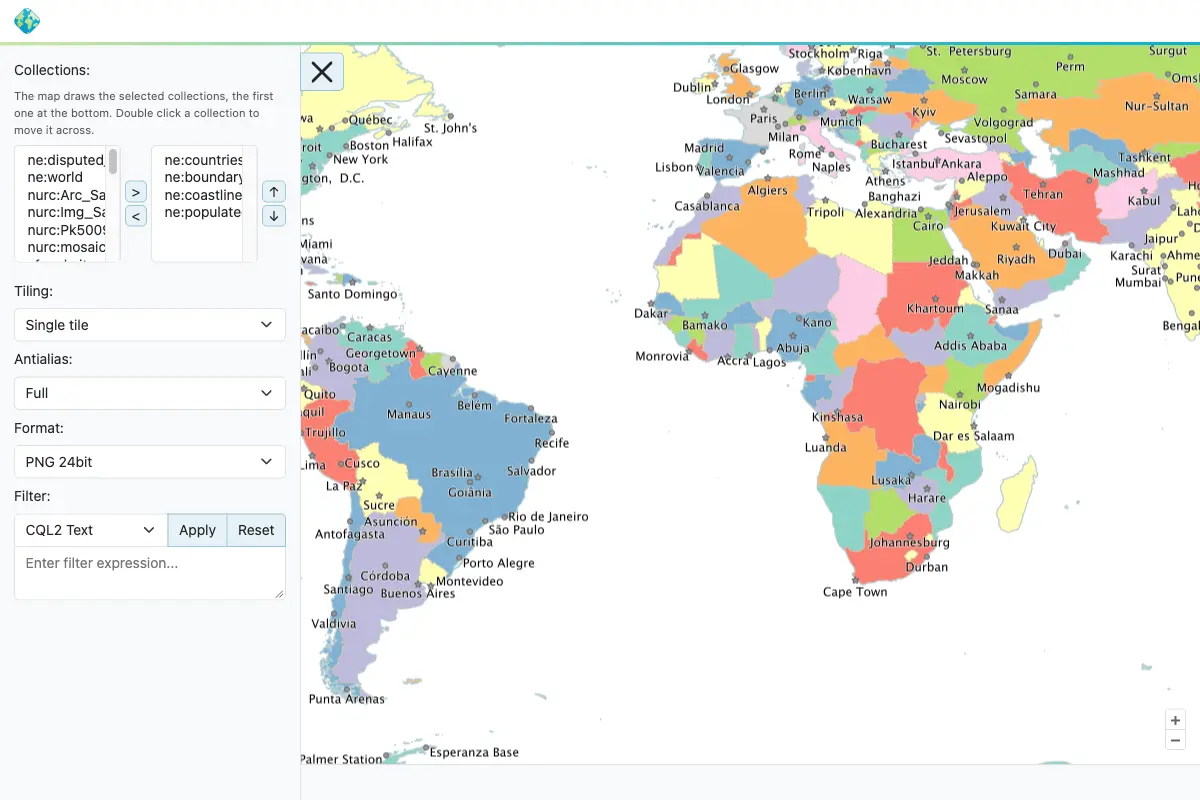
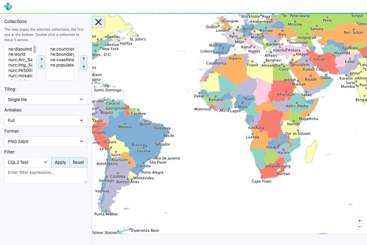
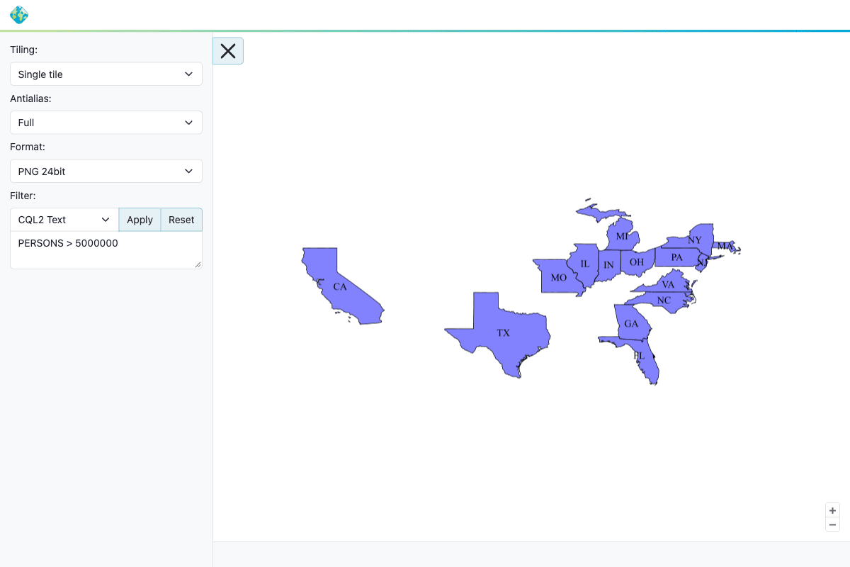
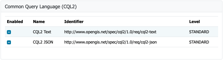
Interoperability continues to be a cornerstone of the GeoServer platform, and version 3.0.2 brings a significant leap forward in standards compliance. The OGC API Maps community module has been thoroughly updated and aligned with the finalized OGC API – Maps 1.0.0 standard, allowing organizations to serve map resources in strict accordance with modern Open Geospatial Consortium specifications.

Detailed documentation on configuring and utilizing these capabilities can be found within the OGC API Maps section of the official GeoServer user manual. This crucial development milestone was driven by Andrea Aime of GeoSolutions, with valuable assistance from Jody Garnett of GeoCat, who managed the 3.0.x backport and implemented essential improvements to the underlying conformance table editor.
GeoFence for GeoServer 3

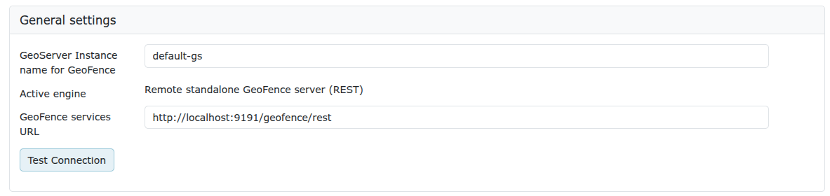
The release of GeoServer 3.0.2 also marks a major achievement for access control within the ecosystem, as GeoFence extensions are now fully available for the GeoServer 3 architecture. This milestone successfully completes Milestone 4, designated as the integration phase of the ambitious GeoServer 3 crowdfunding campaign.
To bring GeoFence up to date with modern enterprise standards, the codebase has been extensively modernized, incorporating Jakarta EE, Spring Framework 7, and Hibernate 7. While this transition brings immense architectural benefits, existing users transitioning from older versions must carefully review the official migration guide before executing an upgrade. Notably, the datasource configuration file has been renamed, and the legacy GeoFence authentication provider has been entirely removed in this iteration.

This comprehensive modernization effort was spearheaded by Emanuele Tajariol of GeoSolutions. The successful delivery of the project was made possible entirely through the financial contributions and backing of the diverse community of GeoServer 3 crowdfunding sponsors.
Institutional Backing and Community Sponsorship

The continuous development, maintenance, and evolution of GeoServer 3 are heavily sustained by a broad coalition of corporate sponsors, public sector organizations, and individual donors. The robust ecosystem of contributors reflects the global reliance on GeoServer for spatial data infrastructure.
Institutional supporters backing the platform include AfriGIS, Camptocamp, the German Aerospace Center (DLR), Dorset Council, Deutsche Telekom, Frachtwerk GmbH, GeoCat BV, Geocrafter Geospatial Studio, Comune di Genova, g.on, GeoSolutions SRL, geosos, Geospatial Enabling Technologies (GET), Incloud Limited, HL Consulting, the Institut national de l’information géographique et forestière (IGN), ITS Digital, JDev, Kreditanstalt für Wiederaufbau, Mammoth Geospatial, the National Ocean Service (NOS) under NOAA, Plangis, the Office of Public Works in Ireland, Open Geo Groep, OSGeo:Korea, OSGeo:UK, Quarticle Research Srl, Sea Island Software, Tailormap, terrestris, Ubigu, Value AG, Region Västra Götaland, and WaldExpert.

Additionally, the project benefits from continuous backing through individual donations provided by Abhijit Gujar, Hennessy Becerra, Ivana Ivanova, John Bryant, Jason Horning, Jose Macchi, Peter Smythe, Sajjadul Islam, Sebastiano Meier, and Stefan Overkamp. Their collective support ensures that the project remains open-source, secure, and actively developed.
FIPS Compliance Support

For government agencies and enterprises operating under strict regulatory frameworks, GeoServer 3.0.2 introduces a brand-new FIPS community module. FIPS 140-3 is a stringent United States government standard governing cryptography modules. Many federal agencies and their respective contractors, vendors, and suppliers are legally or operationally mandated to deploy software that utilizes validated cryptographic libraries.
The introduction of this module allows organizations to meet these rigorous compliance standards directly within their mapping infrastructure. However, administrators must note that the FIPS module currently operates exclusively on Linux environments and requires a freshly initialized data directory, as an automated migration tool for existing data directories is not yet available. Development of this specialized module was led by Andrea Aime of GeoSolutions.

Release Notes and Community Modules
The official release notes for version 3.0.2 outline a wide array of bug fixes, infrastructural tasks, and performance improvements across the entire codebase. The comprehensive list details dozens of refinements to core rendering engines, data connectors, and administrative interfaces. Developers and systems administrators seeking granular details can inspect the complete changelog directly on the official GitHub repository for the 3.0.2 tag.

Alongside the stable core features, ongoing community module development continues to thrive, offering experimental extensions shared primarily as source code to encourage collaborative innovation across the geospatial community. Stakeholders interested in exploring or contributing to these emerging topics are encouraged to reach out directly to the respective module developers to coordinate assistance and testing.
As the GeoServer 3.0 series matures, version 3.0.2 stands as a vital release that bridges cutting-edge cryptographic compliance, standardized web APIs, and robust enterprise access control, reinforcing the platform’s position as a premier open-source geospatial server for production environments worldwide.