
The open-source geospatial community has reached a major milestone with the official release of GeoServer 3.0.0, marking a significant evolution for the widely used map and spatial data server. Available now for production environments, this stable release arrives alongside GeoTools 35.0 and GeoWebCache 2.0.0. The launch represents the culmination of a full year of intensive development, planning, and community collaboration, driven largely by a successful crowdfunding campaign that united dozens of organizations and individual contributors from around the globe.
As a foundational update to the GeoServer 3.0.x series, this release introduces critical architectural modernizations, security enhancements, and a completely refreshed user interface designed to streamline spatial data management for enterprises and public sector agencies alike.

Security Considerations
Addressing potential security vulnerabilities remains a top priority for the project maintainers, making GeoServer 3.0.0 an essential upgrade for any production system currently running older iterations. The development team utilizes the Common Vulnerabilities and Exposures (CVE) system to transparently communicate security fixes to a broad audience, ensuring system administrators can proactively protect their geospatial infrastructure. These updates align with the project’s formal security policy, which governs how vulnerabilities are responsibly identified, managed, and patched.

Welcome to GeoServer 3
The arrival of GeoServer 3.0.0 introduces a modernized platform built to meet contemporary enterprise standards. The transition from previous versions has been carefully engineered to ensure a straightforward upgrade path for organizations migrating from the GeoServer 2.28.x series, minimizing operational disruption while delivering substantial under-the-hood improvements.

This massive undertaking would not have been possible without the financial backing and active participation of the GeoServer 3 crowdfunding campaign. A diverse coalition of corporate sponsors and individual contributors provided the resources necessary to bring the project to fruition. Among the key organizational supporters are AfriGIS, Camptocamp, the German Aerospace Center (DLR), Dorset Council, Deutsche Telekom, Frachtwerk GmbH, GeoCat BV, Geocrafter, Comune di Genova, g.on, GeoSolutions SRL, geosos, Geospatial Enabling Technologies (GET), Incloud Limited, HL Consulting, Institut national de l’information géographique et forestière (IGN), ITS Digital, JDev, Kreditanstalt für Wiederaufbau, Mammoth Geospatial, the National Ocean Service, Plangis, the Office of Public Works, Open Geo Groep, OSGeo:Korea, OSGeo:UK, Quarticle Research Srl, Sea Island Software, Tailormap, terrestris, Ubigu, Value AG, Region Västra Götaland, and WaldExpert. Additionally, individual donors including Abhijit Gujar, Hennessy Becerra, Ivana Ivanova, John Bryant, Jason Horning, Jose Macchi, Peter Smythe, Sajjadul Islam, Sebastiano Meier, and Stefan Overkamp provided vital support during the development lifecycle.

New Context-Driven User Experience
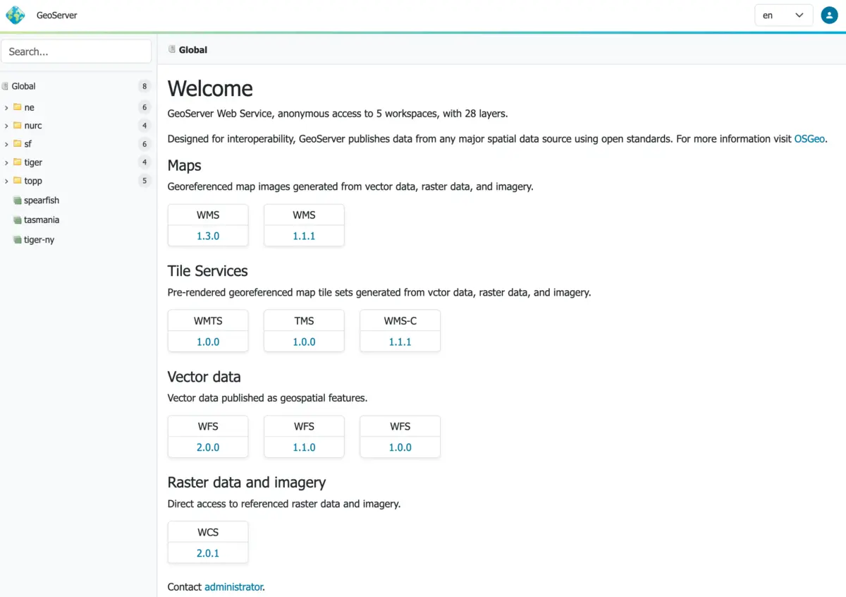
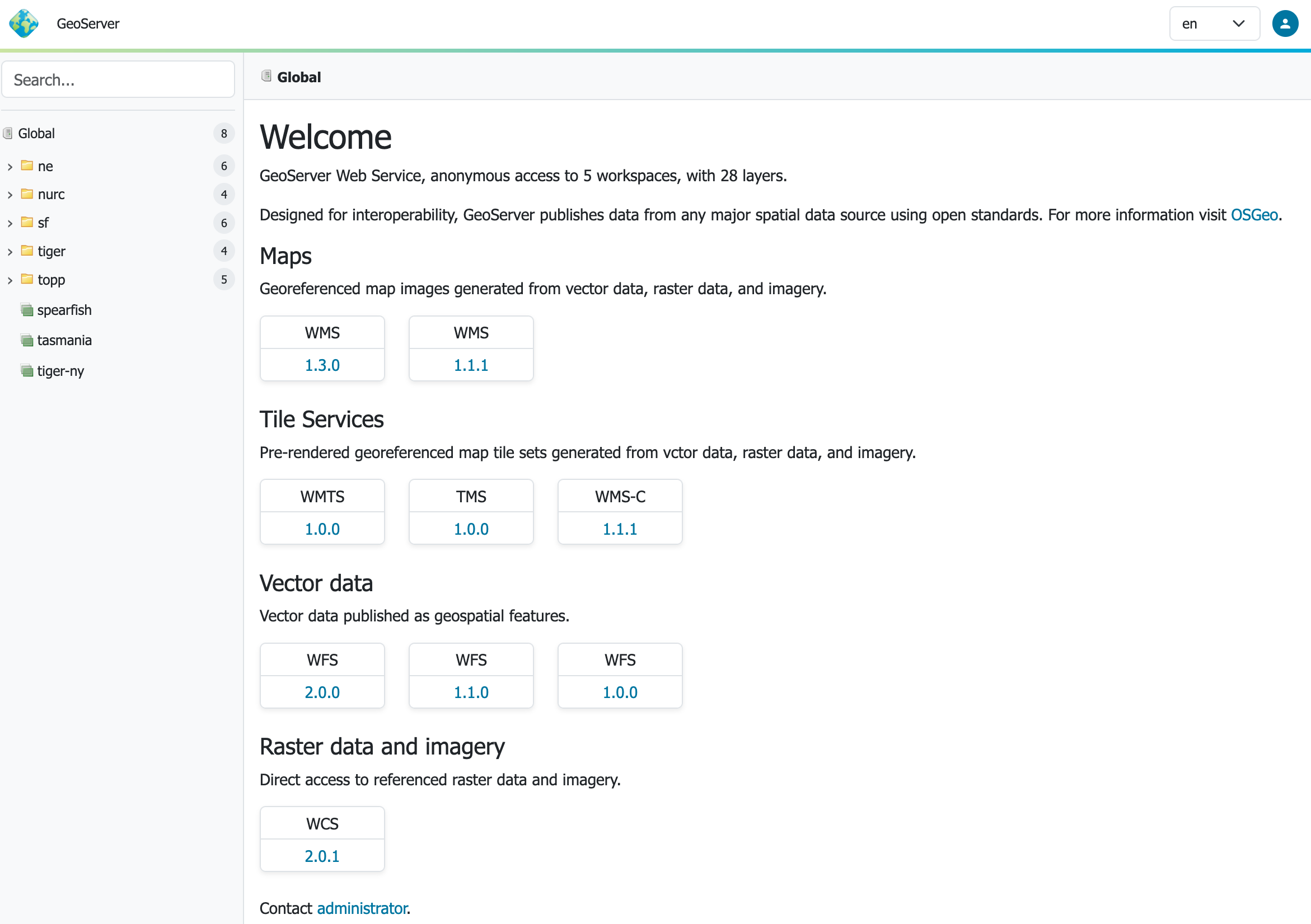
Administrators and users interacting with GeoServer 3 will immediately notice a refreshed, context-driven user experience. Developed with modern web design principles in mind, the new interface features a responsive design theme that adapts seamlessly to various screen sizes and devices. This long-awaited enhancement was spearheaded by Stefano Bovio of GeoSolutions, with implementation and testing supported by the broader GeoServer team, alongside verification from quality assurance testers at AfriGIS and GeoCat.

Complementing the redesigned administrative interface is a new full-screen layer preview tool powered by the latest OpenLayers library. This addition allows spatial database administrators and cartographers to inspect, test, and validate their map layers with greater speed and visual fidelity directly within the browser environment.

Updated Environment
Under the hood, GeoServer 3.0.0 represents a massive engineering shift, bringing the software in line with the latest Java enterprise standards. The platform now requires Tomcat 11.0.x or Jetty 12.1 application servers, marking the successful completion of a comprehensive transition to the Spring Framework 7 and the Jakarta EE Servlet API 6.1.

Extensive compatibility testing has been conducted using Java 17 and Java 21, preserving the same robust Java runtime baseline established in the 2.28.x series. While newer environments such as Java 25 undergo automated testing, project maintainers recommend that production users stick with Java 17 or Java 21 until the broader community has thoroughly vetted Java 25 in live operational deployments. By moving exclusively to Jakarta EE Servlet API 6.1, GeoServer leaves behind legacy containers relying on older servlet specifications, ensuring improved performance, better security maintenance, and long-term ecosystem compatibility.

OAuth2 OpenID Connect Extension
Enterprise security integration receives a major upgrade with the promotion of the OAuth2 OpenID Connect Security Integration (OIDC) plugin to an official, fully supported extension. The underlying migration to Spring Security 7 allowed developers to consolidate and modernize authentication workflows, resulting in the new OIDC module taking over the responsibilities previously handled by separate Keycloak and OAuth2 plugins.

Following a successful release candidate phase that gathered invaluable feedback from early testers, the module has graduated to a core extension for the 3.0.0 rollout. Detailed migration documentation has been published to guide system administrators through the process of transitioning their existing identity management configurations to the new OIDC architecture.

New Documentation
Documentation for the project has undergone a complete transformation with a long-awaited transition to Markdown. The newly designed User Manual offers an improved reading and searching experience, with legacy documentation for older versions remaining accessible via an integrated version switcher. This monumental documentation overhaul was coordinated by Peter Smythe of AfriGIS and Jody Garnett of GeoCat.

Furthermore, the updated manual introduces a dedicated section for pending community modules. These modules represent experimental or specialized features that are actively seeking public feedback, usage, and organizational support. Once a community module proves its stability and gathers sufficient backing from the user base, it becomes eligible to graduate into an official production extension.

Binaries for GeoServer 3.0.0—including binary, WAR, and Windows installer packages, alongside documentation archives and extensions—are available for download through SourceForge, with full release notes and source code maintained via the project’s official GitHub repository.


