Skip to content
Breaking News
  • Understanding Thematic Mapping: How Spatial Data Visualization Reshapes Modern Geographic Analysis and Decision-Making
  • GeoHound Chrome Extension Launches with Automated Web Map Service Detection and Built-In Spatial Workbench
  • From ERP Systems to AI Strategy: Inside Aakansha Bhalotia’s 13-Year Journey Shaping the Future of Tech
Thursday, October 22, 2026
Edition: U.S. International Login

Hack The Map

Author: Nila Kartika Wati

Remote Sensing and Satellite Imagery

Hurricane Polo Shatters Expectations with Explosive Rapid Intensification in the Eastern Pacific

September 25, 2026 Nila Kartika Wati
In mid-September 2026, a routine weather disturbance began taking shape off the Pacific coast of Mexico. What started as a…
Drone Mapping and Aerial Photography

Beyond Observation: Why Atmospheric Drones Are Reshaping Cloud Seeding and Meteorology

September 24, 2026 Nila Kartika Wati
Commercial drones have long established their utility by observing the world below our feet. Across industries ranging from real estate…
Geography and Earth Science

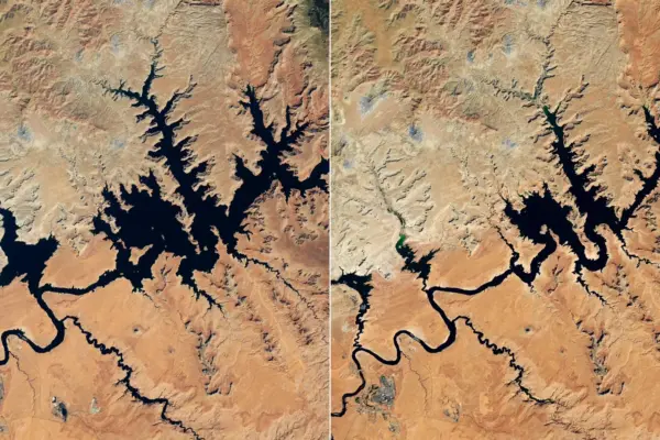
Colorado River Reservoirs Plunge to Record Lows Following Severe 2026 Snow Drought

September 23, 2026 Nila Kartika Wati
Snow drought and unusually warm conditions across the Colorado Basin in 2026 sharply reduced water flowing into major reservoirs across…
Disaster Response and Humanitarian Mapping

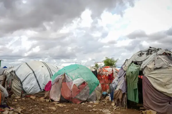
Global Humanitarian Update: OCHA Warns of Escalating Crises Across Yemen, Palestine, Sudan, and Somalia

September 23, 2026 Nila Kartika Wati
The United Nations Office for the Coordination of Humanitarian Affairs (OCHA) has released a comprehensive global update detailing severe humanitarian…
Remote Sensing and Satellite Imagery

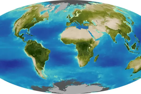
Seeing the Seasons Shift: How a Deep-Space NASA Camera Captures Earth’s Annual Dance

September 22, 2026 Nila Kartika Wati
The tilt in Earth’s axis of rotation makes the apparent position of continents shift with the seasons in imagery from…
Geography and Earth Science

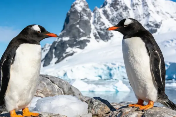
Genetic Discovery Reveals Four Distinct Gentoo Penguin Species and the First New Penguin Classification in a Century

September 22, 2026 Nila Kartika Wati
While the four-foot-tall Emperor penguin stands as the most widely recognized face of the penguin family, it shares the Southern…
Disaster Response and Humanitarian Mapping

UN Relief Chief Urges Global Action as Crises Deepen Across Syria, Yemen, Gaza, and Lebanon

September 21, 2026 Nila Kartika Wati
Global Humanitarian Update: Senior United Nations officials have issued urgent appeals for increased international funding, unhindered access, and robust political…
Drone Mapping and Aerial Photography

Northern Plains UAS Test Site Showcases Medical and Agricultural BVLOS Capabilities on Vantis Network at NASAO Conference

September 20, 2026 Nila Kartika Wati
State aviation officials gathered in North Dakota recently to witness firsthand the future of unmanned aviation, observing live, complex flight…
Geopolitics and Map News

Sri Lanka Pushes for Deeper Healthcare and Pharmaceutical Collaboration with India at New Delhi Expo

September 20, 2026 Nila Kartika Wati
Sri Lanka’s High Commissioner to India, Mahishini Colonne, has used a major international platform in New Delhi to champion deeper…
Drone Mapping and Aerial Photography

City of Raleigh Uses Drones, AI Technology to Create Digital Twin

September 20, 2026 Nila Kartika Wati
The city of Raleigh, North Carolina, is deploying an advanced combination of drones and artificial-intelligence-enabled tools to build a comprehensive…

Posts navigation

Older posts
Newer posts

Recent Posts

  • Understanding Thematic Mapping: How Spatial Data Visualization Reshapes Modern Geographic Analysis and Decision-Making
  • GeoHound Chrome Extension Launches with Automated Web Map Service Detection and Built-In Spatial Workbench
  • From ERP Systems to AI Strategy: Inside Aakansha Bhalotia’s 13-Year Journey Shaping the Future of Tech
  • Elistair Unveils Tethered Air Module for Parrot ANAFI UKR to Enable Hours of Uninterrupted ISR Missions
  • A Mysterious 180-Year-Old Train Delay Reveals a Major Chronological Error in Space Weather History

Recent Comments

No comments to show.

Archives

  • October 2026
  • September 2026
  • August 2026

Categories

  • Data Visualization and Infographics
  • Disaster Response and Humanitarian Mapping
  • Drone Mapping and Aerial Photography
  • Environmental and Climate Mapping
  • Geography and Earth Science
  • Geolocation and Cybersecurity
  • Geopolitics and Map News
  • GIS and Spatial Technology
  • Location Intelligence and Spatial Analytics
  • Open Data and Civic Tech
  • Open Source Geospatial Software
  • OpenStreetMap and Community Mapping
  • Remote Sensing and Satellite Imagery
  • Transportation and Mobility Tech
  • Travel Hacking and Digital Nomad
  • Urban Planning and Smart Cities
  • Web Mapping and Cartography

© 2026 Hack The Map. All rights reserved.

Theme: The Original by Rifan Muazin.