Skip to content
Breaking News
  • GeoHound Tool Launches as Chrome Extension to Instantly Detect, Analyze, and Process Web Map Data
  • From ERP Systems to AI Strategy: Inside Aakansha Bhalotia’s 13-Year Tech Journey at Precisely
  • Elistair Unveils Tethered Air Module for the Parrot ANAFI UKR to Enable Extended ISR Missions
Wednesday, October 21, 2026
Edition: U.S. International Login

Hack The Map

Author: Neng Nana

Geopolitics and Map News

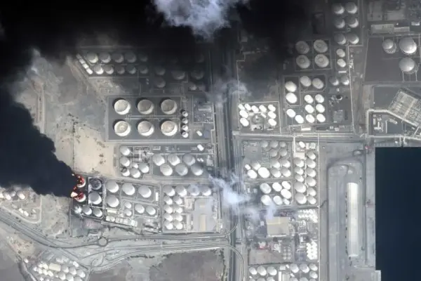
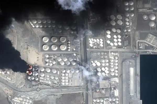
The Global Chokepoint Trap: How Economic Security is Driving Nations Toward Conflict

October 20, 2026 Neng Nana
Policymakers used to ignore chokepoints. Now they have trouble seeing anything else. Across the globe, governments are increasingly obsessed with…
Data Visualization and Infographics

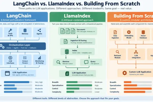
Navigating the LLM Development Stack: LangChain, LlamaIndex, or Building from Scratch

October 19, 2026 Neng Nana
The tooling ecosystem surrounding large language models has expanded at a pace that few developers and engineering teams can comfortably…
Geopolitics and Map News

From Economic Community to Geopolitical Actor: The Evolution, Challenges, and Re-arming of the European Union

October 19, 2026 Neng Nana
The European Union stands as the most successful modern experiment in regional integration. Established in 1957 as the European Economic…
Geopolitics and Map News

The Shifting Global Balance: How the Adversarial Axis is Outmaneuvering the U.S. Network

October 18, 2026 Neng Nana
On July 17, a precision Iranian missile strike struck the Muwaffaq Salti Air Base in Jordan, resulting in the deaths…
Geography and Earth Science

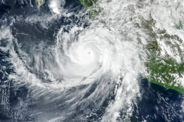
Hurricane Simon Batters Mexico’s Pacific Coast as NASA Satellites Capture Rare Atmospheric Waves Above the Storm

October 17, 2026 Neng Nana
Despite remaining offshore, Hurricane Simon battered Mexico’s Pacific coast with powerful winds, torrential rainfall, and severe flooding, leaving coastal communities…
Open Source Geospatial Software

GeoServer Issues Urgent Update Advisory Following Summer 2026 Security Challenges and Zero-Day Disclosure

October 17, 2026 Neng Nana
The GeoServer project has issued a comprehensive security recap detailing a tumultuous summer of 2026 marked by coordinated vulnerability disclosures,…
OpenStreetMap and Community Mapping

OpenStreetMap Launches 2026 Community Microgrants Program to Back Grassroots Mapping Initiatives Worldwide

October 17, 2026 Neng Nana
The OpenStreetMap Local Chapters and Communities Working Group has formally launched the 2026 Community Microgrants program, dedicating a €5,000 funding…
Geopolitics and Map News

The Network of Upheaval: How America’s Adversaries Are Out-Coordinating the West

October 17, 2026 Neng Nana
On July 17, an Iranian missile struck the Muwaffaq Salti Air Base in Jordan, killing three American soldiers and wounding…
Geography and Earth Science

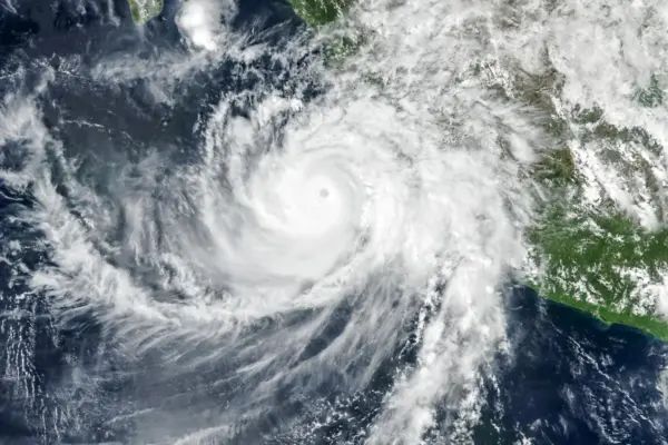
NASA Satellites Capture Striking Atmospheric Waves Above Hurricane Simon as It Batters Mexico’s Pacific Coast

October 16, 2026 Neng Nana
Despite remaining offshore, Hurricane Simon delivered a powerful blow to Mexico’s Pacific coast, unleashing destructive winds, torrential rainfall, and severe…
Location Intelligence and Spatial Analytics

Enterprise AI’s Biggest Bottleneck Isn’t the Technology—It’s the State of Enterprise Data

October 16, 2026 Neng Nana
Every major technology shift over the past three decades has shared a common defining characteristic: the primary hurdle was getting…

Posts navigation

Older posts

Recent Posts

  • GeoHound Tool Launches as Chrome Extension to Instantly Detect, Analyze, and Process Web Map Data
  • From ERP Systems to AI Strategy: Inside Aakansha Bhalotia’s 13-Year Tech Journey at Precisely
  • Elistair Unveils Tethered Air Module for the Parrot ANAFI UKR to Enable Extended ISR Missions
  • A 178-Year-Old Train Delay Solves a Major Mystery in the History of Space Weather and Solar Storms
  • Urban Parking Costs and Curb Management Drive Traffic and Transportation Planning Challenges, New Report Shows

Recent Comments

No comments to show.

Archives

  • October 2026
  • September 2026
  • August 2026

Categories

  • Data Visualization and Infographics
  • Disaster Response and Humanitarian Mapping
  • Drone Mapping and Aerial Photography
  • Environmental and Climate Mapping
  • Geography and Earth Science
  • Geolocation and Cybersecurity
  • Geopolitics and Map News
  • GIS and Spatial Technology
  • Location Intelligence and Spatial Analytics
  • Open Data and Civic Tech
  • Open Source Geospatial Software
  • OpenStreetMap and Community Mapping
  • Remote Sensing and Satellite Imagery
  • Transportation and Mobility Tech
  • Travel Hacking and Digital Nomad
  • Urban Planning and Smart Cities
  • Web Mapping and Cartography

© 2026 Hack The Map. All rights reserved.

Theme: The Original by Rifan Muazin.