Skip to content
Breaking News
  • Understanding Thematic Mapping: How Spatial Data Visualization Reshapes Modern Geographic Analysis and Decision-Making
  • GeoHound Chrome Extension Launches with Automated Web Map Service Detection and Built-In Spatial Workbench
  • From ERP Systems to AI Strategy: Inside Aakansha Bhalotia’s 13-Year Journey Shaping the Future of Tech
Thursday, October 22, 2026
Edition: U.S. International Login

Hack The Map

Month: October 2026

Travel Hacking and Digital Nomad

Holafly Launches Ongoing Global eSIM Subscription Plan for International Travelers and Digital Nomads

October 15, 2026 Basiran
Travel technology company Holafly has rolled out a new global service called Holafly Plans, marking a significant shift from traditional…
Environmental and Climate Mapping

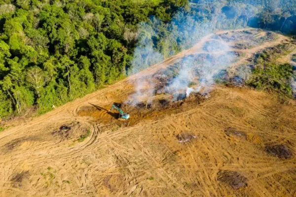
Interactive: Tracking negotiating texts at the COP17 biodiversity summit

October 15, 2026 Nana Muazin
This year’s gathering carries immense significance because it marks the precise halfway point between the historic agreement of the Kunming-Montreal…
Geolocation and Cybersecurity

UK Imposes Economic Sanctions on Cryptocurrency Platform Cryptomus Over Russia Ties and Cybercrime Operations

October 15, 2026 Pevita Pearce
The United Kingdom has officially issued sweeping economic sanctions against Cryptomus, a chameleon-like cryptocurrency platform that cybersecurity experts and blockchain…
Open Source Geospatial Software

GeoServer Project Issues Urgent Security Update After Summer 2026 Vulnerabilities and Zero-Day Disclosures

October 15, 2026 Pevita Pearce
The GeoServer open-source project has released a comprehensive security recap detailing a turbulent summer of 2026. The period was marked…
Transportation and Mobility Tech

Comprehensive Market Analysis Identifies Top-Rated Wheelchairs for Enhanced Mobility and Independence

October 15, 2026 Neng Nana
Wheelchairs remain one of the most widely utilized forms of medical equipment worldwide, playing an indispensable role in empowering individuals…
Data Visualization and Infographics

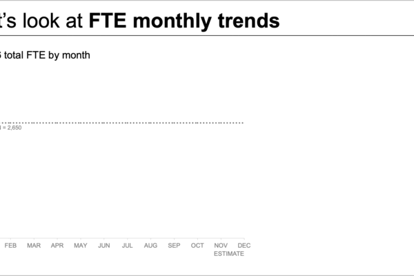
Untangling Complex Data: How a Custom Client Workshop Transformed a Cluttered Staffing Report Into an Actionable Story

October 15, 2026 Ali Ikhwan
When organizational leaders face an impending labor shortage, bringing the issue to their attention is a critical first step. Yet,…
Data Visualization and Infographics

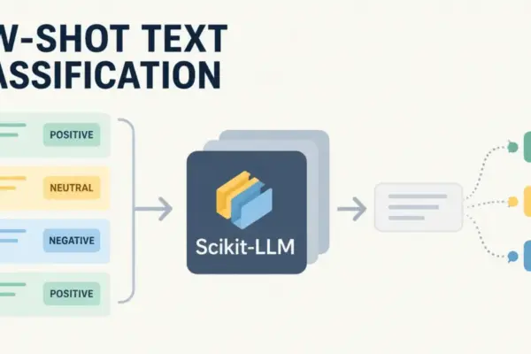
Bridging Classical Machine Learning and Large Language Models: An Introduction to Scikit-LLM for Few-Shot Text Classification

October 15, 2026 Asep Darmawan
For data scientists and machine learning engineers who have spent years building and refining text classification models, the standard workflow…
OpenStreetMap and Community Mapping

OpenStreetMap Local Chapters and Communities Working Group Launches 2026 Community Microgrants Program

October 14, 2026 Nana Wu
The OpenStreetMap Local Chapters and Communities Working Group has formally launched the 2026 Community Microgrants program, allocating a dedicated fund…
Location Intelligence and Spatial Analytics

Precisely Launches Enterprise Model Context Protocol Server Support to Bridge the Gap Between AI Ambition and Data Reality

October 14, 2026 Suro Senen
Over the past year, enterprise technology leaders have encountered a persistent and frustrating bottleneck. Organizations have invested heavily in artificial…
Drone Mapping and Aerial Photography

Pentagon Details $450 Million Drone Dominance Competition as Gauntlet 2.5 Moves to November

October 14, 2026 Nana
The Pentagon’s aggressive push to scale domestic uncrewed systems manufacturing has entered a critical new cycle. Under the umbrella of…

Posts navigation

Older posts
Newer posts

Recent Posts

  • Understanding Thematic Mapping: How Spatial Data Visualization Reshapes Modern Geographic Analysis and Decision-Making
  • GeoHound Chrome Extension Launches with Automated Web Map Service Detection and Built-In Spatial Workbench
  • From ERP Systems to AI Strategy: Inside Aakansha Bhalotia’s 13-Year Journey Shaping the Future of Tech
  • Elistair Unveils Tethered Air Module for Parrot ANAFI UKR to Enable Hours of Uninterrupted ISR Missions
  • A Mysterious 180-Year-Old Train Delay Reveals a Major Chronological Error in Space Weather History

Recent Comments

No comments to show.

Archives

  • October 2026
  • September 2026
  • August 2026

Categories

  • Data Visualization and Infographics
  • Disaster Response and Humanitarian Mapping
  • Drone Mapping and Aerial Photography
  • Environmental and Climate Mapping
  • Geography and Earth Science
  • Geolocation and Cybersecurity
  • Geopolitics and Map News
  • GIS and Spatial Technology
  • Location Intelligence and Spatial Analytics
  • Open Data and Civic Tech
  • Open Source Geospatial Software
  • OpenStreetMap and Community Mapping
  • Remote Sensing and Satellite Imagery
  • Transportation and Mobility Tech
  • Travel Hacking and Digital Nomad
  • Urban Planning and Smart Cities
  • Web Mapping and Cartography

© 2026 Hack The Map. All rights reserved.

Theme: The Original by Rifan Muazin.