On the evening of August 9, 2025, passengers aboard the expedition vessel Hanse Explorer gathered on deck to capture memories of one of Alaska’s most breathtaking sights. They framed their shots against the striking expanse of the South Sawyer Glacier, recording videos and taking final selfies before the ship turned around to head back down the narrow, towering confines of Tracy Arm fjord.
It was a routine excursion for an Arctic cruise vessel, showcasing the pristine and dramatic wilderness that draws tens of thousands of travelers to the region every year. Yet, just twelve hours later, that exact landscape underwent a catastrophic transformation.
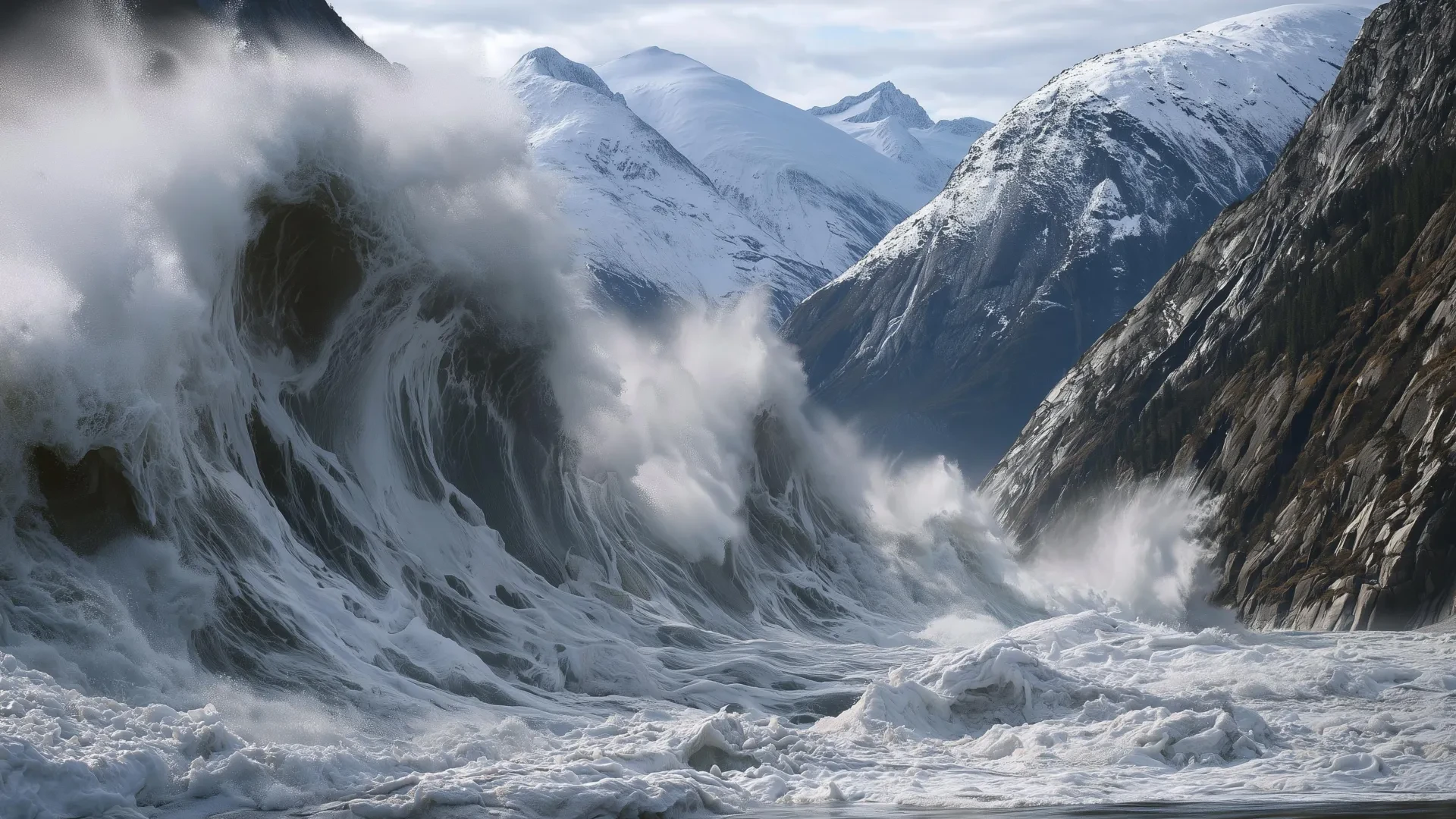
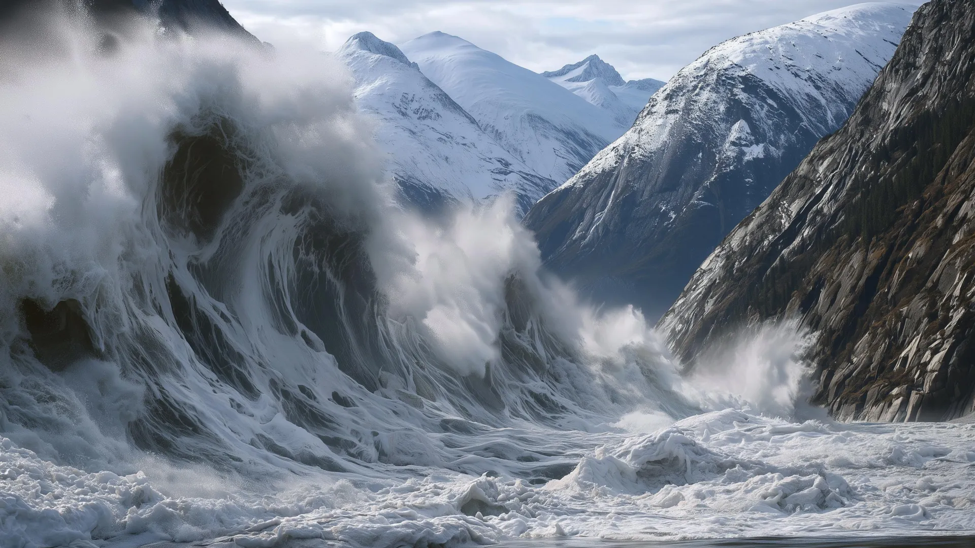
An enormous section of the adjacent mountain suddenly fractured and collapsed into the fjord below. The sheer momentum of millions of tons of rock crashing into the water triggered the second-highest tsunami in recorded scientific history.
Researchers studying earthquakes and tsunamis at the Alaska Earthquake Center—including the Alaska state seismologist—recently detailed the staggering scale of the event in a new published study. According to their findings, the impact sent a violent wall of water and debris surging 1,580 feet (481 meters) up the opposite side of the fjord. To put that vertical displacement into perspective, the water climbed higher than the top floor of the famed Taipei 101 skyscraper before the massive wave continued its destructive path down Tracy Arm, stripping the fjord’s steep walls completely bare down to solid rock.
Fortunately, the cataclysm struck just after five o’clock in the morning on a dreary, overcast day. Because of the early hour and the remote location, no ships were anywhere near the collapse zone, preventing what could have easily been a mass-casualty disaster of historic proportions. In the months following the event, the incident forced cruise lines and regional operators to reevaluate their routes, with some companies opting to avoid Tracy Arm entirely.
However, seismologists and geologists emphasize that the terrifying conditions which triggered the collapse are not unique to this single remote fjord.
The Hidden Dangers of Melting Mountains
Landslides are a common geological feature in the rugged coastal mountains of Alaska, where powerful tectonic uplift and long-term ice loss converge with aggressive erosive forces like heavy precipitation and moving glaciers. But in recent years, researchers have noticed a troubling and distinct pattern emerging across the region: multiple major, catastrophic landslides have occurred precisely at the terminus of retreating glaciers.
While the exact physical mechanics are still poorly understood by the scientific community, mountain slopes in these environments appear to experience severe structural destabilization as the supporting ice disappears. When these massive rock masses finally fail and strike the water, the immense kinetic energy of millions of tons of falling rock is transferred instantly into destructive tsunami waves.
This exact phenomenon is no longer confined to Alaska. It is actively playing out across the globe, stretching from Greenland to Norway, and it has occasionally resulted in deadly consequences for nearby coastal settlements. Across the Arctic, nations and local communities are struggling to come to terms with this rapidly growing natural hazard.
The available options for mitigation are far from attractive. Authorities can attempt to avoid vast, economically vital swaths of coastline altogether, or they can simply accept the reality of living with a poorly understood and unpredictable risk. Scientists argue that there is an obvious, highly effective role for advanced alert systems, but those systems can only save lives if researchers develop a much clearer understanding of where and when these mountain slopes are likely to fail.
Signs That a Landslide Might Be Coming
The catastrophic failure at Tracy Arm serves as a powerful case study for how these events develop. The landslide occurred in August, a peak month when warm ocean waters and heavier precipitation favor both rapid glacier retreat and slope failure.
In the weeks leading up to the disaster, the glacier situated directly below the unstable landslide area had experienced severe calving, with massive blocks of ice fracturing and plunging into the water. In just two months, the glacier had retreated more than a third of a mile.
Compounding these destabilizing factors, heavy rain had been falling across the region. When persistent rain enters microscopic fractures and deep fissures within a mountain, it drives the rock masses closer to structural failure by dramatically increasing the water pressure inside those cracks.
Most provocative to researchers analyzing the aftermath were the thousands of small seismic tremors that emanated directly from the area of the slide in the days leading up to the mountainside’s collapse.
Experts believe this specific combination of environmental and geological warning signs would have been more than sufficient to issue progressive alerts to any ships in the vicinity, as well as to homes and businesses vulnerable to tsunami activity, at least a day prior to the final failure—had an integrated monitoring program actually existed.
Escalating alert systems are already utilized across modern society for everything from counter-terrorism measures and nuclear plant safety to avalanche warnings and volcanic unrest monitoring. While these systems do not eliminate natural risks entirely, they make it significantly easier for human populations to safely coexist with formidable hazards.
For instance, although winter sports enthusiasts and travelers are still occasionally caught in avalanches, standardized alert systems have played an essential role in making winter backcountry travel safer for millions of people over the decades. The catastrophic collapse at Tracy Arm demonstrates precisely what could be accomplished for landslide and tsunami hazards if similar frameworks were applied to coastal mountains.
What an Alert System Could Look Like
Researchers suggest that the dangerous combination of heavy precipitation and rapid glacier retreat in early August 2025 would likely have been sufficient to issue an initial advisory, notifying regional operators and travelers that the hazard level was temporarily elevated. On a standard yellow-orange-red crisis scale, this would represent a yellow alert.
In the crucial hours immediately preceding the landslide, the exponential increase in local seismic events and the telltale transition to what geologists call a seismic tremor—a continuous, low-frequency hum of seismic energy—provided enough data to communicate a highly time-sensitive warning for a specific geographic region.
These seismic observations, which are routinely recorded as a byproduct of standard regional earthquake monitoring networks, clearly warranted an orange alert noting immediate concern. In hindsight, these indicators were arguably sufficient to recommend keeping all boats, tour vessels, and commercial ships completely out of the fjord.
Furthermore, scientific research conducted over the past few years has demonstrated that once a large-scale landslide is underway, it is entirely possible to detect and measure the event within a couple of minutes. Within that brief window of time, seismic waves propagating through the surrounding bedrock can indicate the approximate size of the landslide and determine whether it occurred near open water.
A dedicated monitoring program capable of rapidly communicating this data could instantly issue a red alert, signaling an active event in progress.
The National Oceanic and Atmospheric Administration’s tsunami warning program has spent decades fine-tuning the art of rapid message dissemination. While a warning system would have offered little physical help to vessels caught directly in the immediate impact zone of Tracy Arm, it could have provided perhaps ten minutes of vital warning time for individuals who had to ride out the harrowing tsunami further down the waterway.
Currently, no comprehensive landslide monitoring system operates at this specific scale within the United States. Building such an infrastructure will require unprecedented cooperation across state and federal agencies, alongside strengthened monitoring and communication networks. Even then, experts caution that no warning system can ever be entirely fail-proof.
Understanding Risk, Not Removing It
Alert systems do not completely remove the underlying environmental risk, but they provide a dramatically better option than facing these volatile landscapes with zero warning. Over time, these systems also foster a culture of deep awareness as local communities, commercial operators, and visiting tourists grow accustomed to factoring these geological hazards into their plans.
Many of the most alluring, visually stunning places on Earth inherently come with significant natural hazards, and the dramatic fjords of the Arctic are prime examples. The very same geological processes that create these terrifying hazards—glacier retreat, steep terrain, and dynamic, shifting geology—are precisely what make these landscapes so breathtaking and compelling to human beings.
The mix of towering glaciers, ice-choked blue waters, and sheer mountain walls is what draws people to these remote frontiers in the first place, and travelers will undoubtedly continue to visit and experience them for generations to come.
The central question facing policymakers, scientists, and tourism operators is not whether these wild places should be avoided altogether, but how to help people make more informed, risk-aware decisions. Researchers maintain that stronger geophysical and meteorological monitoring, coupled with innovative research and modern communication channels, represents the crucial first step toward achieving that goal.
On August 9, oblivious visitors passed safely through a magnificent landscape that was already standing on the absolute cusp of catastrophic failure. A functional, real-time alert system might have given tour companies and people in the area the critical information they needed to make informed choices and avoid being caught entirely by surprise.