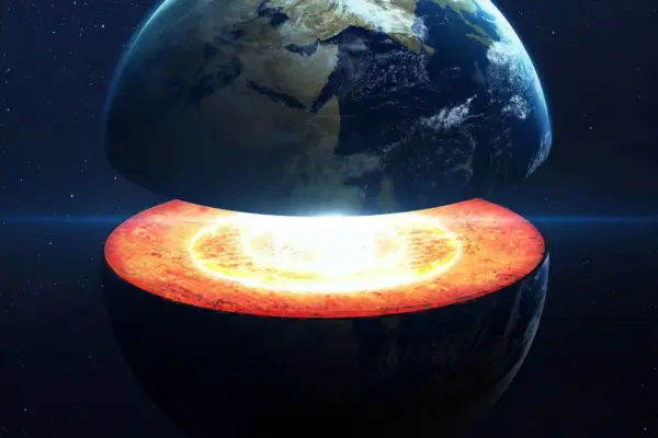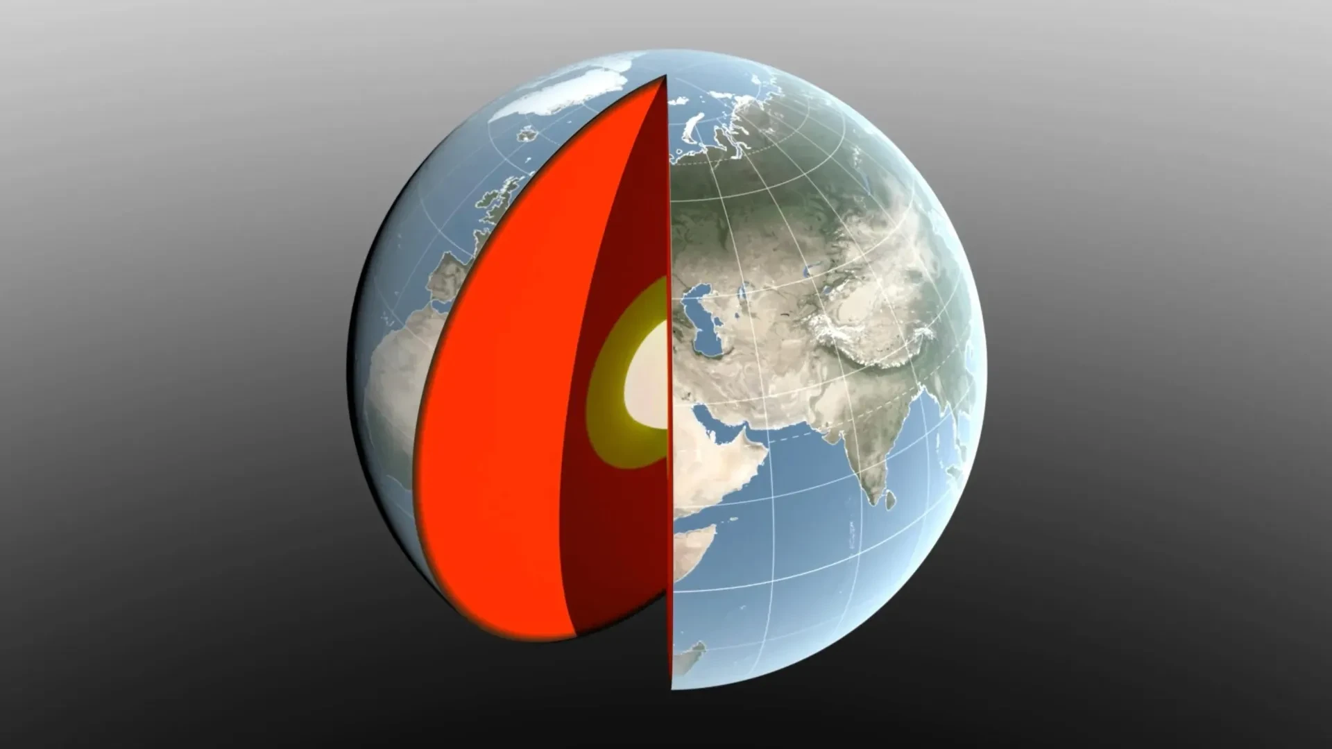
Earth is far from a rigid, unchanging solid sphere. As water, ice, and air continuously move around the planet with the changing seasons, they redistribute an immense amount of weight. This constant shifting of earthly mass is enough to push Earth’s center of mass back and forth by fractions of an inch relative to its geometric center.
NASA scientists carefully track this subtle, perpetual motion because Earth’s center of mass serves as an essential reference point for global satellite navigation systems and precise measurements of surface elevation. Now, a team of researchers led by NASA’s Jet Propulsion Laboratory (JPL) in Southern California has developed a sophisticated new method designed to measure these seasonal shifts with exceptional precision. Their innovative technique and the resulting findings have been described in a new study published in the Geophysical Journal International.
The comprehensive research illustrates how major seasonal changes—including melting snowpack, moving ocean currents, and dense winter air masses—redistribute colossal amounts of mass across Earth’s surface throughout the annual cycle.
Earth’s Center Is Constantly Moving
Scientists have spent decades developing complex methods to define and locate Earth’s center of mass using observations gathered from space. The fundamental challenge is that this center does not remain in one fixed, predictable location.
If Earth behaved like a completely solid, uniform blue marble, its center of mass would always line up perfectly with its geometric center. Instead, the dynamic planet constantly responds to the shifting weight of water, ice, and the atmosphere. As those materials migrate across the globe, Earth’s center of mass circles around its geometric center by as much as several millimeters.
Determining the exact size and scale of that movement has historically proven exceptionally difficult. The two most recent international estimates, produced in 2017 and 2023, differ by 0.27 inches, or 7 millimeters—an amount roughly equivalent to the height of three nickels stacked together. That persistent disagreement between models is nearly as large as the tiny movement scientists are actively attempting to measure.
To narrow that margin of uncertainty, JPL geoscientist Donald Argus led the development of a pioneering approach that relies on extremely precise satellite tracking.
Because gravity causes satellites to orbit around Earth’s actual center of mass rather than its geometric center, scientists can detect minute changes in the distances between orbiting satellites and tracking stations anchored on the ground whenever that center shifts.
Satellites Help Pinpoint Earth’s Center
Scientists have long utilized artificial satellites to determine the exact location of Earth’s center of mass. Two dense metal satellites launched decades ago, in 1976 and 1992, were built specifically for this critical purpose.
Known as the Laser Geodynamics Satellites, or LAGEOS 1 and 2, these spacecraft resemble 900-pound, or 408-kilogram, disco balls covered entirely with reflective prisms. Ground stations spread across more than 20 countries routinely fire powerful lasers at the satellites and precisely measure the returning light signals to calculate orbital paths.
One persistent challenge with this established method is that the laser tracking stations are not evenly distributed around the globe, creating gaps in observation.
The new approach developed by Argus and his colleagues addresses that geographical limitation in two distinct ways. First, the researchers combine the traditional laser measurements with advanced GPS tracking and precise orbital information from several satellites operating in low Earth orbit, giving them a much wider and more diverse range of objects to follow across the sky. Second, they actively account for how the changing weight of water and ice bends Earth’s crust, meaning the ground stations themselves move slightly as the solid surface beneath them shifts under the seasonal load.
Argus developed the technique in collaboration with scientists from JPL’s satellite orbit determination team, the University of Nevada, the University of Montana, and the Helmholtz Centre for Geosciences in Germany.
"We’re now estimating the size of the movement of Earth’s mass center back and forth each year to be about half of what we believed it to be eight years ago," said Argus. "Our findings suggest that the mass of Earth’s water and air moving between the hemispheres is smaller than previously thought."
Although the physical distances involved are microscopic, their practical importance extends far beyond academic laboratories.
Felix Landerer, one of the study’s coauthors at JPL, noted that while these movements might appear tiny, our modern global society relies heavily on extremely precise positioning measurements. By unraveling and understanding the underlying mechanisms that change planetary reference systems, scientists can build significantly better reference systems that ultimately benefit everyday mapping and navigation—ranging from complex global shipping logistics to high-precision modern agriculture.
Snow, Rain, and Oceans Shift Earth’s Balance
To better understand the phenomenon, the researchers carefully followed the seasonal movement of Earth’s center of mass and traced it back to three major environmental sources: the oceans, the atmosphere, and continental water, which includes land ice, seasonal snow, lake and river water, soil moisture, and underground groundwater.
These environmental effects fluctuate dynamically throughout the year as water and air accumulate in different regions of the world.
For instance, snow accumulation across North America and Eurasia reaches its greatest volume in March. That massive added weight shifts Earth’s center of mass about 3 millimeters toward the North Pole.
Just a month later, in April, the Amazon River basin in South America reaches its seasonal maximum for rainwater accumulation, holding an estimated 2,400 gigatons of water. That enormous concentration of liquid mass pulls Earth’s center of mass 2.2 millimeters toward South America.
Another notable contribution arrives later in the calendar year. Monsoon water in Southeast Asia peaks at 600 gigatons in November, occurring six months after the Amazon maximum, and adds a smaller yet measurable amount to the annual movement cycle.
The Pacific Ocean Has an Outsized Influence
Ocean water also plays a major role in driving the seasonal shift of the planet’s mass balance.
From August through October, seasonal meltwater and heavy rainfall add immense mass to the global oceans, pushing Earth’s center of mass toward the South Pacific Ocean.
Because the Pacific Ocean is so vast, changes in its total mass can easily outweigh gains or losses recorded in other ocean basins around the world. Even so, smaller seasonal changes occurring in regional bodies of water—including the Mediterranean, Red, North, Baltic, and Barents seas—each make minor individual contributions to the overall movement of Earth’s center.
The Earth’s atmosphere adds yet another complex layer to this cyclical planetary balance.
The researchers utilized an advanced model created by the European Centre for Medium-Range Weather Forecasts to estimate how seasonal atmospheric changes alter Earth’s center of mass. Their detailed analysis found that cold and dense winter air shifts the planetary balance toward Arabia, Asia, and northern Africa around December 21 each year. Conversely, around June 21, the corresponding atmospheric effect occurs over South America and South Africa.
GRACE Satellites Confirm the Mass Changes
Importantly, the mass estimates produced by this new analytical technique closely agree with independent observations gathered by the Gravity Recovery and Climate Experiment Follow-On, or GRACE-FO, mission.
Launched in 2018, GRACE-FO consists of twin satellites working in tandem to measure monthly changes in Earth’s localized gravitational field. Much of that changing gravity field is directly caused by water moving dynamically above and below the planet’s surface.
The satellites travel together in an extremely precise formation along the same orbital path. When the leading spacecraft passes over a geographical region containing extra mass, such as a river basin swollen with seasonal water, the slightly stronger gravitational pull alters the distance between the two satellites by a minuscule but highly detectable amount.
GRACE-FO is operated as a successful partnership between NASA and the German Research Centre for Geosciences (GFZ).
Building on these achievements, scientists are already preparing the next generation of spaceborne instruments for these critical measurements. The upcoming GRACE-Continuity (GRACE-C) mission is currently targeting a launch in late 2028, intending to seamlessly continue the nearly 25-year historical record of tracking how water and physical mass move across and around planet Earth.