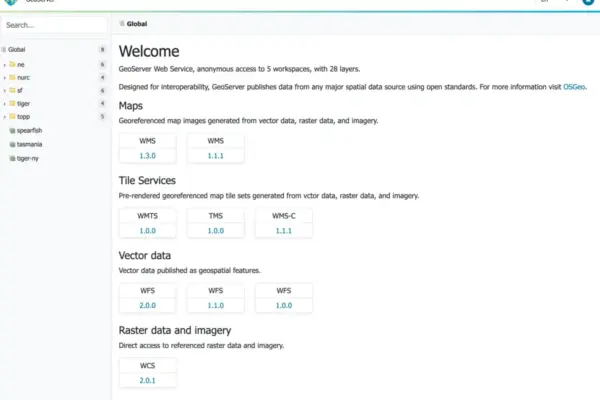
The GeoServer development community has officially announced the immediate availability of GeoServer 2.28.4, marking another stable milestone for the widely used open-source geospatial data server. This latest update delivers a crucial package of maintenance updates, minor improvements, and important security patches designed to keep existing production deployments running smoothly and securely. Released just ahead of the much-anticipated major GeoServer 3.0 launch, version 2.28.4 provides a reliable bridge for organizations managing critical geographic information systems (GIS) infrastructure.
The release is now fully accessible across multiple distribution formats to accommodate diverse deployment environments. Users and system administrators can immediately download the binary archive, the web archive (WAR) file for servlet container deployment, or the standard documentation package. Additionally, a comprehensive suite of community and extension modules has been rolled out simultaneously, ensuring that administrators can maintain their specialized mapping pipelines and spatial analysis workflows without interruption.
Crafted in close coordination with foundational geospatial libraries, GeoServer 2.28.4 is built alongside GeoTools 34.4 and GeoWebCache 1.28.4. This tightly coupled ecosystem release ensures robust compatibility across the entire stack, providing enhanced rendering performance, reliable tile caching, and seamless data ingestion capabilities for developers and GIS professionals who rely on the Java Geospatial ecosystem. The development team extended special recognition to Peter Smythe of AfriGIS for successfully managing and steering this release process.
Despite the smooth rollout of the core software and its associated libraries, the project maintainers have addressed an ongoing administrative hurdle regarding the Windows installation package. For the past several months, the GeoServer project has been unable to provide a natively signed Windows Installer executable. This limitation stems from an expired cryptographic certificate required to securely sign Windows application builds. Project leadership is actively seeking a sustainable resolution to renew or replace the signing certificate, and administrators who rely on the graphical Windows installer are encouraged to exercise patience or reach out to the developer community to offer assistance if resolving this packaging bottleneck is critical to their operational workflows.
Security Considerations
Security remains a paramount focus for the GeoServer project, particularly as geospatial servers frequently handle sensitive enterprise, government, and public-facing spatial datasets. GeoServer 2.28.4 includes critical security updates and vulnerability remediations, making this release an essential upgrade for any organization operating production-grade mapping infrastructure.
Enterprise administrators and system operators managing public-facing map services are strongly advised to plan their upgrade cycles accordingly to mitigate potential security risks. The GeoServer project maintains a transparent and rigorous security policy, which governs how vulnerabilities are identified, evaluated, and resolved by the core maintainer team. Detailed guidelines on reporting security issues, understanding threat classifications, and reviewing historical advisories are outlined in the official project security policy hosted within the main source code repository.
Release Notes and Ongoing Development
While version 2.28.4 serves primarily as a stable maintenance release focusing on bug fixes and security hardening ahead of the upcoming 3.0 architecture, the broader development lifecycle continues to thrive through community collaboration. The complete, granular list of code changes, resolved issues, and pull requests included in this iteration can be reviewed directly through the official GitHub release tags for version 2.28.4.
Alongside core development, community module initiatives continue to foster experimentation and specialized feature expansion. These modules are shared openly as source code to encourage collaborative innovation among developers and GIS researchers. Because community modules exist outside the core supported feature set, users exploring experimental topics or niche spatial functions are encouraged to engage directly with individual module developers to offer testing assistance, feedback, or development contributions.
About the GeoServer 2.28 Series
The GeoServer 2.28 series has served as a stable and reliable platform for organizations deploying interoperable spatial web services adhering to Open Geospatial Consortium (OGC) standards such as WMS, WFS, and WCS. Throughout its lifecycle, the 2.28 branch has seen continuous refinement through regular milestone and point releases, ensuring optimal performance and compatibility with modern web mapping clients.
As the project prepares to transition toward the next major generation with GeoServer 3.0, the 2.28 series remains a cornerstone for enterprise environments requiring stability and predictable maintenance cycles. Administrators can review the chronological history of the series through previous release iterations, including versions 2.28.3, 2.28.2, 2.28.1, 2.28.0, and the initial development milestone 2.28-M0, all of which document the steady evolution of this robust geospatial platform.