The GeoServer development team has officially announced the availability of GeoServer 3.0 Release Candidate (3.0-RC), marking a major milestone after a full year of intensive planning, development, and community support. Alongside the core platform release, the project has also rolled out GeoServer Cloud 3.0.0-RC, bringing cloud-native microservices architecture to the forefront of the ecosystem. Released in conjunction with GeoTools 35-RC and GeoWebCache 2.0-RC, this release candidate represents the final stretch toward the stable 3.0 rollout and invites the global geospatial community to participate in comprehensive real-world testing.
The release package includes standard binary and WAR distributions, alongside complete documentation archives and a robust set of extensions. While developers and system administrators finalize the official Windows installer in collaboration with OSGeo, Windows users are encouraged to test the binary download directly. Additionally, a fully prepared Docker image has been published under the repository tag docker.osgeo.org/geoserver:3.0-RC, allowing containerized environments to evaluate the software with a simple execution command. The development team extends its gratitude to key contributors Jody Garnett of GeoCat, Andrea Aime of GeoSolutions, and Peter Smythe of AfriGIS for their tireless efforts in bringing this release candidate to fruition.
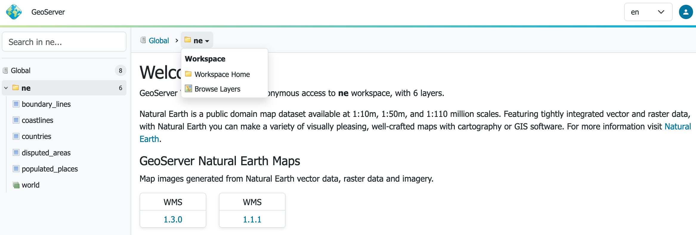
Project maintainers are strongly urging organizations and individual users to deploy GeoServer 3.0-RC within their staging and testing environments. Real-world validation remains the single most effective method for identifying regressions, verifying upgrade workflows, and ensuring compatibility before the final production release. Particular attention is requested for deployments utilizing Tomcat 11 and Jetty 12, as well as evaluations of the newly overhauled user interface. Feedback, questions, and bug reports can be shared directly through the official OSGeo discourse thread dedicated to the release candidate.
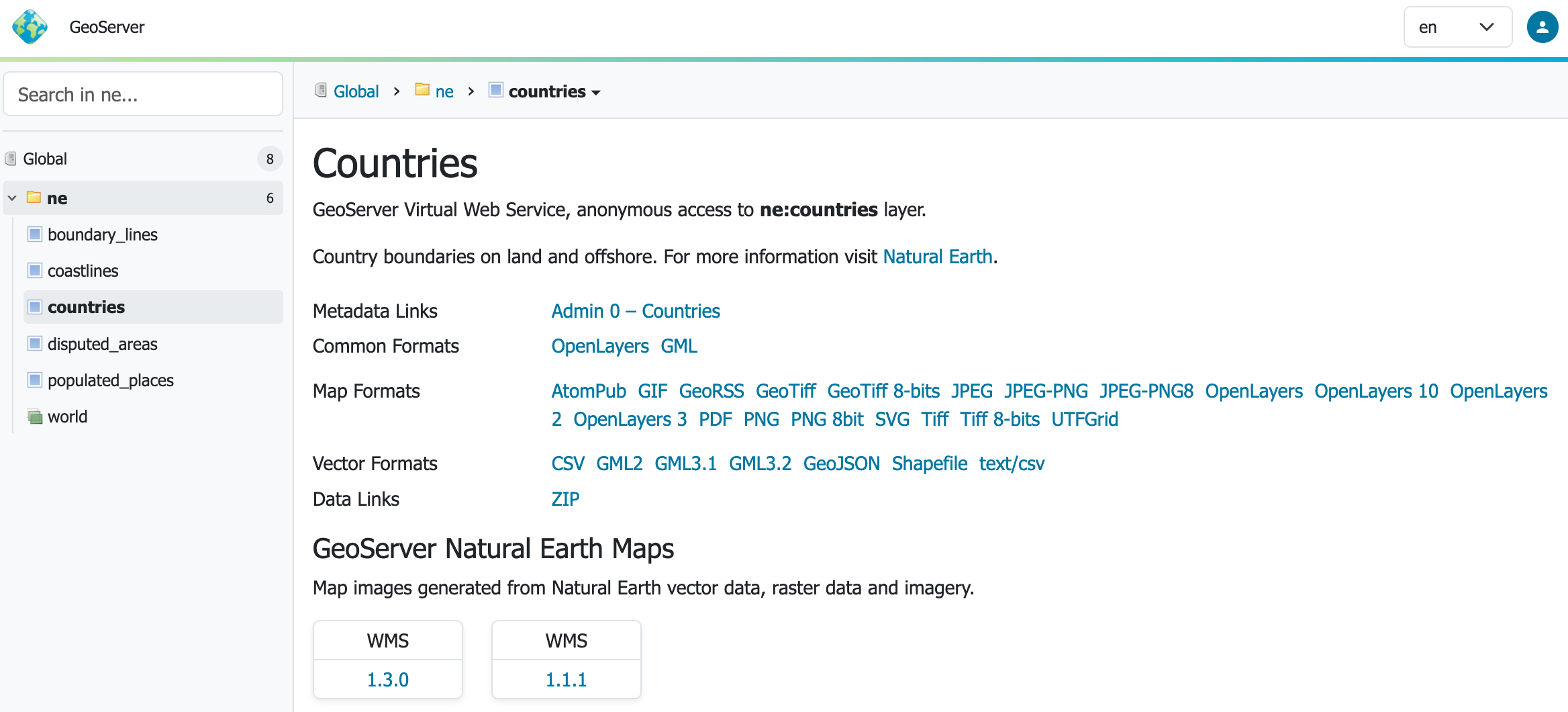
Simultaneously, the release of GeoServer Cloud 3.0.0-RC provides cloud architects and enterprise infrastructure teams with an opportunity to test GeoServer 3 features implemented as microservices. By following the Kubernetes quickstart documentation, users can validate cloud-native deployments and help developers resolve remaining edge cases ahead of the final 3.0.0 release.

The arrival of GeoServer 3 concludes a monumental development cycle centered around modernizing the software stack. A primary focus of this upgrade has been the transition to Spring Framework 7 and the Jakarta EE Servlet API 6.1. This foundational shift has enabled native support for modern enterprise application servers, including Tomcat 11.0.x and Jetty 12.1. Extensive testing has been conducted using Java 17 and Java 21, establishing a robust runtime baseline identical to the preceding 2.28.x series. While automated testing has begun exploring Java 25, the development team advises the community to exercise caution and rely on Java 17 or 21 until broader community feedback is established.
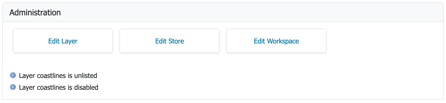
To accommodate modern security paradigms, GeoServer 3 introduces a powerful new OAuth2 OpenID Connect security integration. The transition to Spring Security 7 facilitated the creation of a new OIDC plugin, which consolidates and supersedes the older Keycloak and OAuth2 plugins. Spearheaded by Alessio Fabiani and other core contributors, this module is currently available for public testing during the release candidate phase with the goal of official inclusion as a standard extension in the final 3.0.0 release.
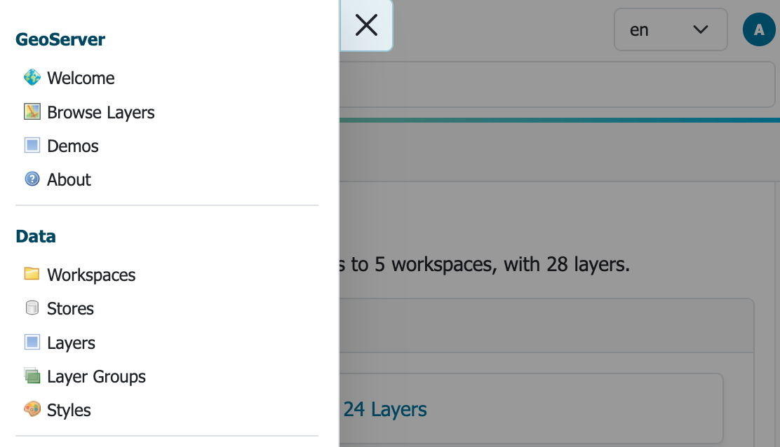
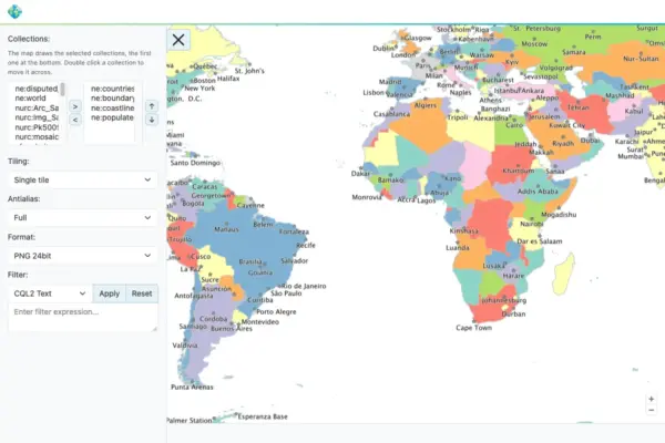
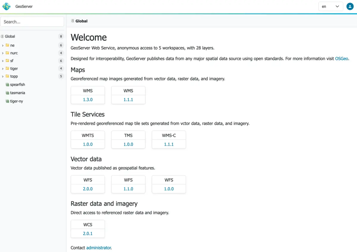
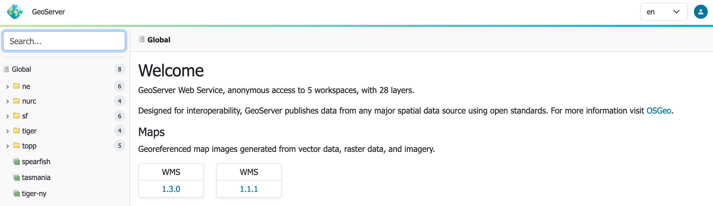
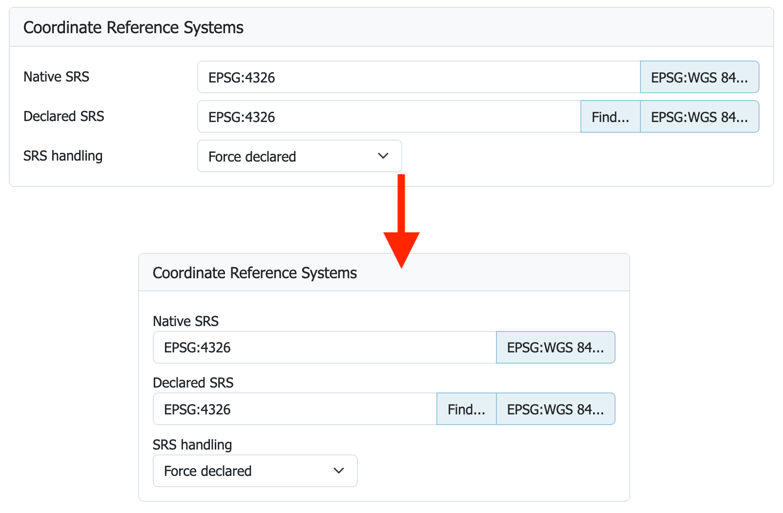
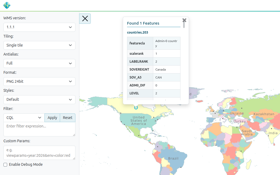
User experience has also received a dramatic overhaul. GeoServer 3 introduces a context-driven user interface paired with a brand-new responsive design theme, heavily improving usability across diverse screen sizes and devices. Stefano Bovio of GeoSolutions led this frequently requested initiative, supported by contributions from GeoCat, AfriGIS, and the wider implementation team. Furthermore, the platform now features a modern, full-screen layer preview leveraging the latest OpenLayers library, providing map publishers with a cleaner and more responsive interactive interface.
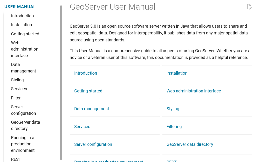
Documentation has undergone a significant modernization effort as well, transitioning away from legacy formats in favor of Markdown-based publishing. The new user manual represents an immense undertaking coordinated by Peter Smythe of AfriGIS and Jody Garnett of GeoCat. Community members are encouraged to consult the new documentation portal and report or fix minor issues to help polish the knowledge base before the stable rollout.
The realization of GeoServer 3 would not have been possible without the financial backing and institutional support of the global geospatial community. A comprehensive crowdfunding campaign brought together dozens of organizations and individual donors dedicated to securing the future of open-source GIS infrastructure. Major institutional sponsors include AfriGIS, Camptocamp, the German Aerospace Center DLR, Dorset Council, Deutsche Telekom, Frachtwerk GmbH, GeoCat BV, Geocrafter, Comune di Genova, g.on, GeoSolutions, geosos, Geospatial Enabling Technologies, Incloud Limited, HL Consulting, Institut national de l’information géographique et forestière, ITS Digital, JDev, Kreditanstalt für Wiederaufbau, Mammoth Geospatial, National Ocean Service, Plangis, Office of Public Works, Open Geo Groep, OSGeo Korea, OSGeo UK, Quarticle Research Srl, Sea Island Software, Tailormap, terrestris, Ubigu, Value AG, Region Västra Götaland, and WaldExpert, alongside numerous generous individual contributors.
With the release candidate now public, developers are focusing their attention on community feedback and bug triage. Users interested in reviewing the granular changelog, new features, bug fixes, and community module developments can consult the official release notes via the GeoServer GitHub repository.