The GeoServer development team has officially announced the immediate availability of GeoServer 3.0.2, marking another major milestone for the popular open-source geospatial server platform. Designated as a stable release recommended for mission-critical production environments, this latest version brings a comprehensive suite of updates, including core dependency upgrades, synchronized cloud releases, enhanced security considerations, and the introduction of powerful new community modules designed to meet rigorous government and enterprise standards.
Developers and system administrators can immediately access the new software through various download channels, with binary archives, WAR files for servlet container deployment, and Windows installer packages all readily available via SourceForge. Alongside the core application, the project has also rolled out updated documentation packages and a wide array of extensions to ensure seamless integration with existing spatial data infrastructures.
At the heart of GeoServer 3.0.2 is a robust set of upgraded foundational libraries. The platform now incorporates GeoTools 35.2 and GeoWebCache 2.0.2, ensuring optimal performance for rendering and caching map tiles. Additionally, the release integrates mapfish-print-v2 version 2.5.2 and ImageN 0.9.3, further strengthening the underlying processing capabilities of the map server. In a notable first for the project, an updated GeoServer Cloud 3.0.2 release has been made available simultaneously on release day, offering cloud-native organizations immediate access to the latest container-friendly architecture.
The successful coordination and execution of this release were made possible by key contributions from the open-source community. Jody Garnett of GeoCat spearheaded the release management, while Andrea Aime of GeoSolutions handled rigorous testing protocols. Furthermore, Gabriel Roldan of Camptocamp orchestrated the simultaneous deployment of the GeoServer Cloud variant, demonstrating the strong collaborative spirit driving the project forward.
Security Considerations
As an essential update for enterprise and institutional deployments, GeoServer 3.0.2 addresses critical security vulnerabilities to safeguard spatial data infrastructure against emerging cyber threats. Because spatial servers often manage sensitive geographical and governmental assets, maintaining a robust security posture is paramount for the project maintainers. Detailed documentation concerning the specific vulnerabilities patched in this release will be publicly disclosed at the beginning of November.

Organizations managing production systems are strongly advised to review their current installations and plan for an upgrade. The project maintains a strict vulnerability management framework, and administrators can consult the official security policy repository on GitHub to understand how security reports, patches, and disclosures are handled by the core development team.

OGC API Maps 1.0
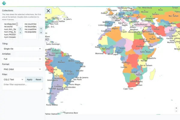
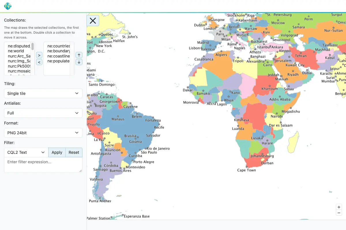
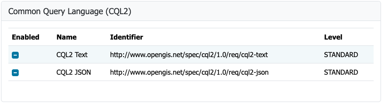
Interoperability remains a cornerstone of the GeoServer project, and version 3.0.2 takes a significant step forward by aligning its OGC API Maps community module with the final OGC API – Maps 1.0.0 standard. This alignment ensures that deployments can serve map resources using modern, web-friendly Application Programming Interface standards defined by the Open Geospatial Consortium, facilitating smoother integration with modern web mapping clients and distributed spatial architectures.

The development and refinement of this critical feature were driven by Andrea Aime of GeoSolutions, who led the implementation efforts. Meanwhile, Jody Garnett of GeoCat handled the complex task of backporting the functionality to the 3.0.x branch while introducing valuable improvements to the conformance table editor. Comprehensive documentation and configuration instructions for the updated module are now available within the official GeoServer user manual.

GeoFence for GeoServer 3
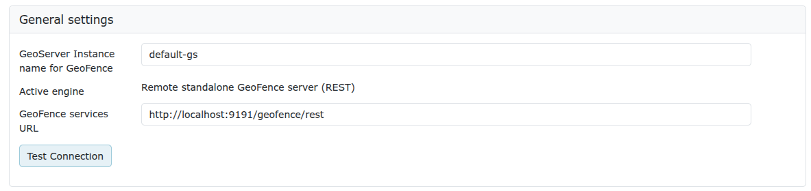
With the arrival of GeoServer 3.0.2, security and access control receive a major boost through the integration of GeoFence extensions tailored specifically for the GeoServer 3 architecture. This milestone officially marks the completion of Milestone 4: Integration, a critical objective outlined in the successful GeoServer 3 crowdfunding campaign.

To bring GeoFence up to date with modern enterprise Java standards, the extension has been comprehensively modernized to run on Jakarta EE, Spring Framework 7, and Hibernate 7. These foundational upgrades ensure high performance, improved security, and long-term maintainability for organizations that rely on granular layer- and rule-based access control.

Administrators currently utilizing older iterations of GeoFence must exercise caution before performing an upgrade. Due to architectural modernization, the datasource configuration file has been renamed, and the legacy GeoFence authentication provider has been deprecated and removed. The development team strongly urges existing users to consult the official migration guide hosted in the user documentation to prevent configuration disruptions. This achievement was brought to fruition by Emanuele Tajariol of GeoSolutions, whose development work was made possible through the generous financial backing of the GeoServer 3 crowdfunding sponsors.

The ongoing evolution of GeoServer is sustained by a vast network of institutional sponsors and individual contributors. Organizations from across the globe provide essential financial and infrastructural support to ensure the platform remains robust, secure, and cutting-edge. Institutional supporters backing the GeoServer 3 series include AfriGIS, Camptocamp, DLR, Dorset Council, Deutsche Telekom, Frachtwerk GmbH, GeoCat BV, Geocrafter, Comune di Genova, g.on, GeoSolutions SRL, geosos, Geospatial Enabling Technologies, Incloud Limited, HL Consulting, Institut national de l’information géographique et forestière, ITS Digital, JDev, Kreditanstalt für Wiederaufbau, Mammoth Geospatial, National Ocean Service, Plangis, Office of Public Works, Open Geo Groep, OSGeo:Korea, OSGeo:UK, Quarticle Research Srl, Sea Island Software, Tailormap, terrestris, Ubigu, Value AG, Region Västra Götaland, and WaldExpert. Additionally, numerous individual donors contribute to the project’s financial sustainability, ensuring its continued viability as a cornerstone of open-source geospatial technology.

FIPS Compliance
Addressing the strict regulatory requirements of government agencies and enterprise suppliers, GeoServer 3.0.2 introduces a brand-new FIPS community module. FIPS 140-3 is a recognized United States government standard governing cryptographic modules, and many public sector entities are legally or operationally mandated to deploy software systems that exclusively utilize validated cryptographic implementations.

The introduction of this module allows agencies operating within secure environments to adopt GeoServer while remaining compliant with federal cryptographic standards. However, system administrators must note specific operational constraints: the FIPS module currently operates exclusively on Linux-based operating systems and requires a dedicated data directory structure. Because automated migration utilities for existing data directories are not yet available, careful planning is required for new deployments utilizing this capability.

Release Notes and Community Development
The official 3.0.2 release incorporates numerous bug fixes, performance improvements, and minor enhancements across the codebase. These changes span new features designed to streamline server administration, critical bug resolutions addressing stability under heavy workloads, and routine maintenance tasks that ensure ongoing code health. Developers and system administrators seeking granular technical details can review the complete change log provided in the official release notes hosted on the project repository.

Beyond the stable core release, active development continues within the community module ecosystem. Modules are shared openly as source code to foster collaborative innovation among developers exploring cutting-edge spatial concepts. Users interested in specific experimental topics or emerging modules are encouraged to reach out directly to respective module developers to offer assistance, feedback, or testing contributions.

The GeoServer 3.0 series continues to mature as the premier open-source map server platform, bridging traditional OGC web services with modern cloud-native workflows, stringent security requirements, and advanced access control mechanisms.