Skip to content
Breaking News
  • GeoHound Tool Launches as Chrome Extension to Instantly Detect, Analyze, and Process Web Map Data
  • From ERP Systems to AI Strategy: Inside Aakansha Bhalotia’s 13-Year Tech Journey at Precisely
  • Elistair Unveils Tethered Air Module for the Parrot ANAFI UKR to Enable Extended ISR Missions
Thursday, October 22, 2026
Edition: U.S. International Login

Hack The Map

Author: Suro Senen

GIS and Spatial Technology

The Art and Science of Spatial Data: Why Thematic Maps Remain Indispensable in a Data-Driven World

October 8, 2026 Suro Senen
In the modern landscape of geography, data science, and information visualization, maps have evolved far beyond their traditional role as…

Transportation and Mobility Tech

Comprehensive Global Review Identifies Top Mobility Solutions and Wheelchair Options for 2024

October 8, 2026 Suro Senen
Wheelchairs remain among the most widely utilized medical devices across the globe, serving as a critical lifeline for individuals managing…
Location Intelligence and Spatial Analytics

AI is Stress Testing Corporate Data Governance, Forcing Leaders to Rethink Strategy and Trust

October 4, 2026 Suro Senen
For data and analytics leaders navigating the modern enterprise landscape, artificial intelligence has fundamentally raised the performance bar for everything…
Drone Mapping and Aerial Photography

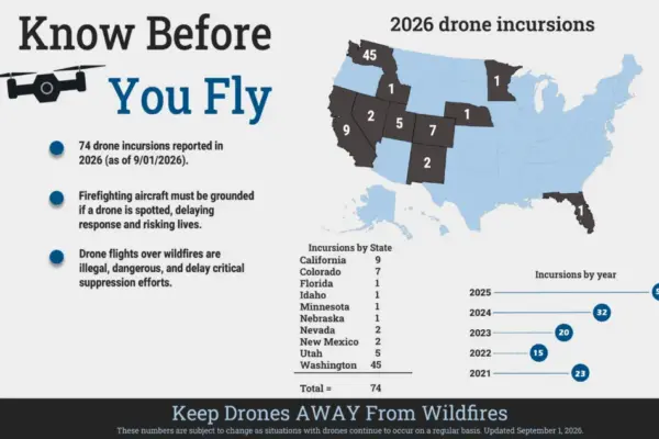
Rising Unauthorized Drone Incursions Ground Aerial Firefighting Operations Amid Severe Western Wildfires

October 2, 2026 Suro Senen
As an unusually severe wildfire season continues to batter the western United States, wildland fire management agencies are sounding the…
Open Data and Civic Tech

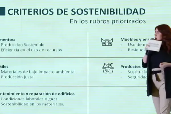
Paraguay Bridges Policy and Practice in Sustainable Public Procurement Through Innovative Tracking Systems

October 1, 2026 Suro Senen
Across Latin America, governments increasingly recognize public procurement as a powerful lever for advancing broader public policy goals, ranging from…
Open Data and Civic Tech

Lithuania’s Social Procurement Reform Surpasses Targets, Transforming Public Buying Power into a Catalyst for Inclusion

October 1, 2026 Suro Senen
VILNIUS — Across Lithuania, more than 4,000 public procuring entities command a massive financial footprint, channeling close to €10 billion…
Urban Planning and Smart Cities

Judge Orders New York City to Trim "Supplemental Roll" Amid Ongoing Legal Challenge Over Luxury Second-Home Tax

September 30, 2026 Suro Senen
NEW YORK — A New York judge has ordered the city to remove hundreds of thousands of residences from a…
Travel Hacking and Digital Nomad

Southwest Airlines Loyalists Have New Opportunities to Boost Travel Points as Co-Branded Card Offers Shift

September 29, 2026 Suro Senen
For frequent flyers and dedicated loyalists of Southwest Airlines, holding a co-branded credit card has long served as one of…
Drone Mapping and Aerial Photography

Colorado City Poneer New Ground Rules for Commercial Drone Delivery Hubs as National Networks Expand

September 29, 2026 Suro Senen
The City of Northglenn, Colorado, is pioneering a proactive approach to the commercial drone delivery boom, currently weighing a comprehensive…
Geography and Earth Science

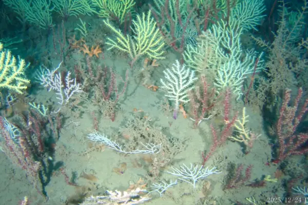
Long Thought Lost Off Benin Coast, Forgotten Coral Reef Rediscovered Alive and Thriving After 60 Years

September 29, 2026 Suro Senen
A coral reef off the coast of Benin that was written off as dead for more than half a century…

Posts navigation

Older posts
Newer posts

Recent Posts

  • GeoHound Tool Launches as Chrome Extension to Instantly Detect, Analyze, and Process Web Map Data
  • From ERP Systems to AI Strategy: Inside Aakansha Bhalotia’s 13-Year Tech Journey at Precisely
  • Elistair Unveils Tethered Air Module for the Parrot ANAFI UKR to Enable Extended ISR Missions
  • A 178-Year-Old Train Delay Solves a Major Mystery in the History of Space Weather and Solar Storms
  • Urban Parking Costs and Curb Management Drive Traffic and Transportation Planning Challenges, New Report Shows

Recent Comments

No comments to show.

Archives

  • October 2026
  • September 2026
  • August 2026

Categories

  • Data Visualization and Infographics
  • Disaster Response and Humanitarian Mapping
  • Drone Mapping and Aerial Photography
  • Environmental and Climate Mapping
  • Geography and Earth Science
  • Geolocation and Cybersecurity
  • Geopolitics and Map News
  • GIS and Spatial Technology
  • Location Intelligence and Spatial Analytics
  • Open Data and Civic Tech
  • Open Source Geospatial Software
  • OpenStreetMap and Community Mapping
  • Remote Sensing and Satellite Imagery
  • Transportation and Mobility Tech
  • Travel Hacking and Digital Nomad
  • Urban Planning and Smart Cities
  • Web Mapping and Cartography

© 2026 Hack The Map. All rights reserved.

Theme: The Original by Rifan Muazin.