Skip to content
Breaking News
  • Understanding Thematic Mapping: How Spatial Data Visualization Reshapes Modern Geographic Analysis and Decision-Making
  • GeoHound Chrome Extension Launches with Automated Web Map Service Detection and Built-In Spatial Workbench
  • From ERP Systems to AI Strategy: Inside Aakansha Bhalotia’s 13-Year Journey Shaping the Future of Tech
Thursday, October 22, 2026
Edition: U.S. International Login

Hack The Map

Author: Asep Darmawan

Drone Mapping and Aerial Photography

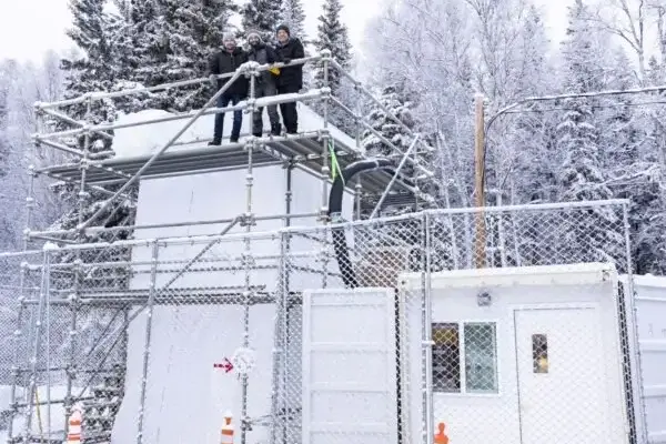
UAF Ice Tower Gives ACUASI a Controlled Testbed for Drone Icing Research

October 3, 2026 Asep Darmawan
The push to expand unmanned aircraft operations into harsh northern climates has driven a critical advancement in aerospace testing at…
Drone Mapping and Aerial Photography

Defense-Proven Drone Technology Moves Into the Commercial Market: Utopia Compression Brings AI-Based Autonomy to Civilian Operations

October 2, 2026 Asep Darmawan
By DRONELIFE Features Editor Jim Magill Utopia Compression, an advanced technology company boasting over two decades of specialized experience serving…
Location Intelligence and Spatial Analytics

Precisely Introduces Governed AI Capabilities in EngageOne RapidCX to Streamline Customer Communications for Regulated Industries

October 1, 2026 Asep Darmawan
The business case for artificial intelligence in customer communications has long been established, offering undeniable efficiencies and speed. However, for…
Drone Mapping and Aerial Photography

Cyberhawk Secures Long-Term Drone Inspection Agreement for UK Electricity Networks

October 1, 2026 Asep Darmawan
Cyberhawk, a prominent global leader in drone-based industrial inspection and surveying and a subsidiary of Ondas Inc. (NASDAQ: ONDS), has…
GIS and Spatial Technology

Shape of the Land, Soul of the Nation: How Geography Defines Japanese Culture and Society

September 29, 2026 Asep Darmawan
In Japan, geography and culture are not merely parallel concepts; they are deeply and permanently intertwined. From its rugged, snow-capped…
Geography and Earth Science

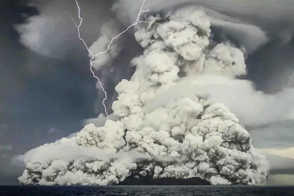
Satellite Observations Reveal Hunga Tonga Volcano Triggered Unexpected Methane Destruction in the Stratosphere

September 28, 2026 Asep Darmawan
When the Hunga Tonga-Hunga Ha’apai volcano erupted beneath the South Pacific waves in January 2022, the cataclysmic explosion sent shockwaves…
Environmental and Climate Mapping

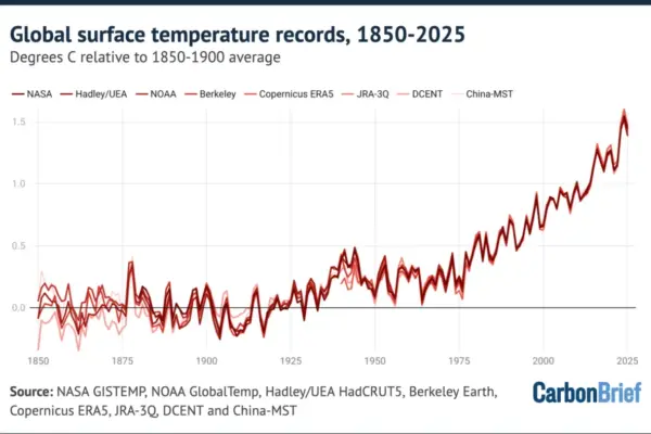
Factcheck Investigation: Untangling Reform UK’s 45 False Claims on Climate Science and Net-Zero

September 27, 2026 Asep Darmawan
Reform UK, led by Nigel Farage, has established itself as a formidable disruptor in contemporary British politics. By centering its…
Data Visualization and Infographics

Leveraging AI as a Thought Partner: How Context Shapes Data Storytelling

September 24, 2026 Asep Darmawan
In the modern landscape of data analytics, the transition from gathering information to effectively communicating it remains one of the…
Remote Sensing and Satellite Imagery

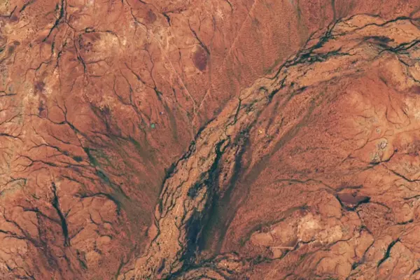
A Rare Floral Superbloom Transforms Western Australia’s Arid Outback Following Heavy Winter Rains

September 23, 2026 Asep Darmawan
Arid shrublands across Western Australia underwent a dramatic and breathtaking transformation in the late austral winter of 2026, bursting with…
Urban Planning and Smart Cities

Government Agencies and Private AI Providers Forge New Partnerships to Expand Public Sector Access

September 22, 2026 Asep Darmawan
As state, local, and federal governments increasingly integrate artificial intelligence into their daily operations, public sector agencies are actively exploring…

Posts navigation

Older posts
Newer posts

Recent Posts

  • Understanding Thematic Mapping: How Spatial Data Visualization Reshapes Modern Geographic Analysis and Decision-Making
  • GeoHound Chrome Extension Launches with Automated Web Map Service Detection and Built-In Spatial Workbench
  • From ERP Systems to AI Strategy: Inside Aakansha Bhalotia’s 13-Year Journey Shaping the Future of Tech
  • Elistair Unveils Tethered Air Module for Parrot ANAFI UKR to Enable Hours of Uninterrupted ISR Missions
  • A Mysterious 180-Year-Old Train Delay Reveals a Major Chronological Error in Space Weather History

Recent Comments

No comments to show.

Archives

  • October 2026
  • September 2026
  • August 2026

Categories

  • Data Visualization and Infographics
  • Disaster Response and Humanitarian Mapping
  • Drone Mapping and Aerial Photography
  • Environmental and Climate Mapping
  • Geography and Earth Science
  • Geolocation and Cybersecurity
  • Geopolitics and Map News
  • GIS and Spatial Technology
  • Location Intelligence and Spatial Analytics
  • Open Data and Civic Tech
  • Open Source Geospatial Software
  • OpenStreetMap and Community Mapping
  • Remote Sensing and Satellite Imagery
  • Transportation and Mobility Tech
  • Travel Hacking and Digital Nomad
  • Urban Planning and Smart Cities
  • Web Mapping and Cartography

© 2026 Hack The Map. All rights reserved.

Theme: The Original by Rifan Muazin.