The open-source geospatial community is celebrating a major milestone today with the official release of GeoServer 3.0.0. Available immediately for download in binary, WAR, and Windows installer formats alongside comprehensive documentation and extensions, this stable release of the 3.0.x series arrives after a full year of dedicated planning, community development, and collaborative effort. Built in conjunction with GeoTools 35.0 and GeoWebCache 2.0.0, GeoServer 3.0.0 represents the culmination of a massive modernization initiative designed to secure the software’s future in enterprise and production environments.

The path to GeoServer 3 was paved by a robust crowdfunding campaign that united dozens of organizations and individual donors from around the globe. Project leaders have expressed deep gratitude to the diverse coalition of sponsors, ranging from public sector agencies and research institutes to commercial geospatial firms, whose financial and technical backing made the ambitious release possible. Key contributors such as Andrea Aime of GeoSolutions, Jody Garnett of GeoCat, and Peter Smythe of AfriGIS were instrumental in driving the release across the finish line, working alongside a vast network of international developers, testers, and supporters.

Security considerations stand at the forefront of the new release, making it an essential upgrade for production systems currently managing critical spatial data infrastructure. By addressing underlying security vulnerabilities and integrating tightly with the Common Vulnerabilities and Exposures (CVE) system, the GeoServer team can communicate critical security updates to a much wider audience than traditional blog posts allow. This structured approach aligns with the project’s formal security policy, ensuring that administrators can maintain robust, secure environments as they transition to the new architecture.

Despite the sweeping architectural updates, the development team has placed a high priority on maintaining a straightforward upgrade path. Special care has been taken to ensure that users moving from the GeoServer 2.28.x series can transition smoothly to version 3.0.0 without running into unexpected roadblocks. Detailed upgrade instructions have been published to guide system administrators through the migration process, minimizing downtime and reducing the administrative overhead typically associated with major version changes.

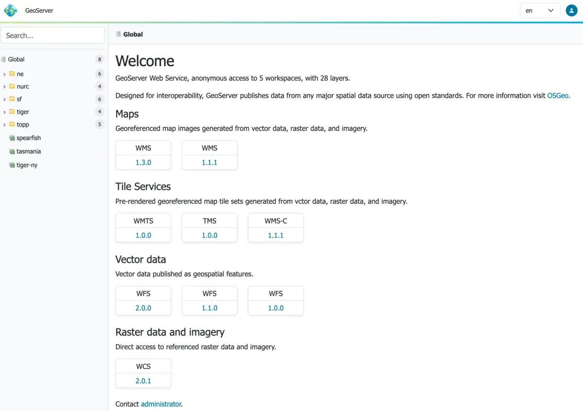
One of the most noticeable advancements in GeoServer 3.0.0 is the introduction of a completely revamped, context-driven user experience. Developed largely through the efforts of Stefano Bovio at GeoSolutions and Jody Garnett at GeoCat, the updated user interface brings a fresh aesthetic combined with practical usability improvements. A cornerstone of this visual redesign is the new responsive design theme, which adapts cleanly to different screen sizes and devices—a frequently requested feature that underwent rigorous verification and screenshot updating by testing teams at AfriGIS and GeoCat.

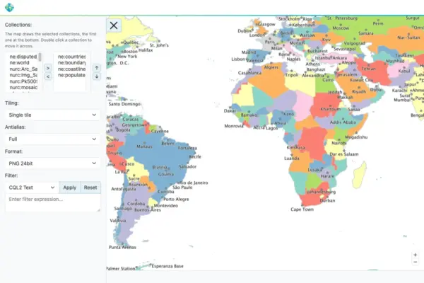
Complementing the updated administration interface is a brand-new layer preview tool powered by the latest OpenLayers library. This full-screen layer preview gives administrators and users a modern, fluid way to inspect spatial data directly within the browser, significantly enhancing the day-to-day usability of the platform.

Beneath the surface, GeoServer 3.0.0 features a thoroughly modernized technology stack that required a complete overhaul of its underlying web and security frameworks. The software now requires Tomcat 11.0.x or Jetty 12.1 application servers, a major upgrade made possible by the project’s successful transition to Spring Framework 7 and the Jakarta EE Servlet API 6.1. Extensive testing has been conducted using Java 17 and Java 21, maintaining the same Java runtime baseline established in the 2.28.x series. While automated testing has also explored Java 25, project maintainers advise the user community to exercise caution and report back on real-world stability before adopting the newer runtime in production.

This technological leap means that older container environments running Tomcat 10 or Jetty 11 are no longer supported, aligning GeoServer with modern enterprise Java standards. The successful completion of this environment update marks a monumental achievement for Milestone 3 of the project roadmap, realized through the collaborative efforts of the core team and the crowdfunding campaign backers.

Security integration has also taken a major step forward with the graduation of the OAuth2 OpenID Connect Security Integration plugin into an official extension. Emerging from the transition to Spring Security 7, this new OIDC module successfully absorbs and supersedes the older Keycloak and OAuth2 plugins. Following successful testing periods during the release candidate phase, the module is now fully supported out of the box, backed by a comprehensive migration guide for existing installations.

Another major shift for the project is the long-awaited transition of its documentation from legacy formats to Markdown. The new user manual offers a cleaner, more modern reading experience, complete with an updated documentation guide and visual examples. Project maintainers have invited community members to help refine the new documentation by logging issues or submitting quick fixes for minor errors. Furthermore, the updated user manual introduces a dedicated section for pending community modules, offering a clear pathway for experimental features to gather user feedback and public support before graduating into full production extensions.

As the geospatial community begins adopting GeoServer 3.0.0, the release notes highlight dozens of new features, performance improvements, and bug fixes contributed by developers worldwide. With its modernized technology stack, enhanced user interface, and strengthened security framework, GeoServer 3.0.0 sets a new standard for open-source GIS software, ensuring that the platform remains robust, scalable, and ready for the future of spatial data management.