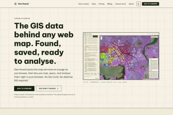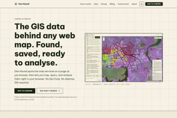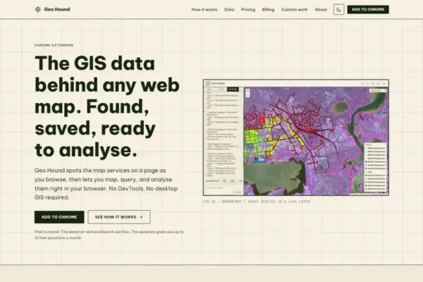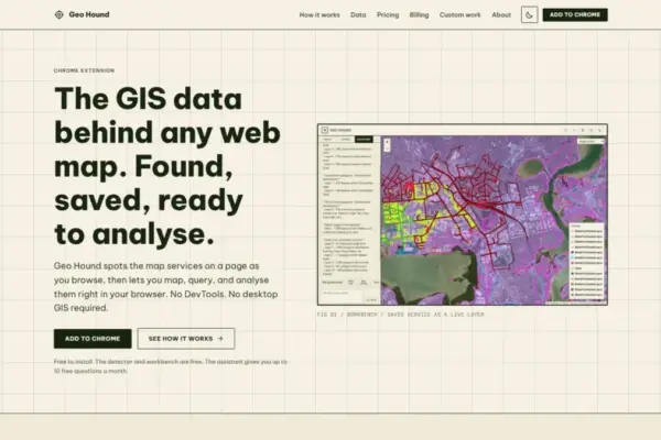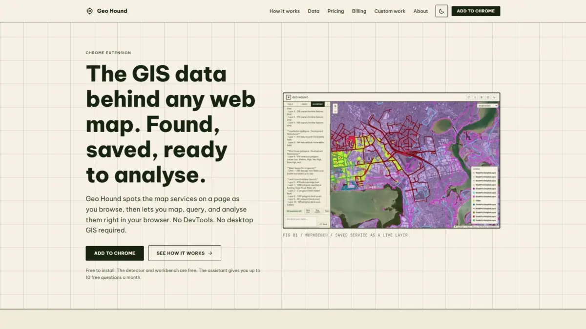
A new web browser extension named GeoHound has been released to help geospatial professionals, data analysts, researchers, and cartographers instantly identify and work with spatial data streams embedded across the web. Developed by Daniel O’Donohue, a geospatial specialist and the creator behind The MapScaping Podcast, GeoHound operates as a Google Chrome extension designed to automatically detect, save, and analyze the underlying geographic data services that power modern interactive web maps as users navigate the internet.
Interactive maps across the modern web rely on a complex network of web services, protocols, and spatial data endpoints to render visual layers. When users navigate cartographic web applications, they typically interact with a styled, pre-rendered visual surface composed of vector geometries or raster image tiles. However, discovering the specific data servers, web endpoints, and raw layers operating beneath the user interface has historically required a tedious technical process. Geospatial professionals and researchers attempting to inspect or extract underlying map data frequently had to rely on browser Developer Tools, manually searching through complex HTTP network traffic, inspecting fetch logs, parsing URL parameters, and isolating individual spatial data streams. Alternatively, analysts were forced to launch resource-intensive desktop Geographic Information System software to connect to potential endpoints manually.
GeoHound eliminates the need for manual network inspection by running automatically in the background as users browse web pages containing interactive maps. As web applications make request calls to fetch geographic data, the extension automatically intercepts and identifies active spatial service endpoints. Rather than requiring users to manually delve into browser network logs, GeoHound passively isolates and categorizes spatial data streams across 29 distinct service and file types.
The extension’s detection capabilities encompass a wide spectrum of legacy, standard, and modern web mapping protocols. Among the 29 supported formats, GeoHound recognizes Open Geospatial Consortium standards, including Web Map Services (WMS) and Web Feature Services (WFS), as well as modern OGC APIs designed for standardized spatial data delivery across contemporary web architectures. The tool also detects enterprise and institutional web mapping endpoints, most notably ArcGIS REST services, which serve as the primary spatial infrastructure for numerous municipal, government, and commercial mapping portals. In addition to OGC and enterprise REST endpoints, GeoHound automatically flags tiled map services, including raster and vector tile feeds, alongside client-side spatial data files such as GeoJSON.
Beyond identifying spatial endpoints, GeoHound captures and stores spatial services alongside their associated metadata. When a web map loads and GeoHound identifies an active service, it records essential structural and operational metadata directly within the browser interface. Preserving metadata alongside detected layers provides immediate context regarding coordinate systems, spatial coverage, layer names, and attribute schemas, allowing users to evaluate the provenance and structure of underlying datasets before performing further analysis.
Once spatial data services are detected and saved, GeoHound functions as an active geospatial analysis environment through its integrated browser workbench. Traditionally, once an analyst identified a web map service URL, inspecting or running spatial operations on that data required transferring endpoint details into desktop GIS platforms such as QGIS or ArcGIS Pro, or writing custom web scripts. GeoHound streamlines this process by enabling users to manipulate and process captured geographic data directly within the Chrome interface without opening desktop GIS applications.
The built-in workbench provides a suite of core client-side spatial operations. Users can filter vector layers based on attribute values or spatial conditions to isolate specific geographic features from larger data feeds. The workbench also enables users to generate buffer zones around vector features for proximity analysis, perform attribute or spatial joins between datasets, and export processed spatial layers into standard formats directly to local storage. By shifting basic vector processing and spatial manipulation into the web browser runtime, the extension allows users to conduct lightweight spatial workflows without relying on external desktop installations or backend spatial server configurations.
Complementing the core detector and workbench features is an integrated artificial intelligence assistant designed to execute spatial analysis tasks using natural language. The AI assistant allows users to run complex spatial workflows on their saved layers by issuing commands in plain English. Rather than navigating multi-step GIS menus, writing complex database queries, or configuring manual geometric functions, users can describe their intended spatial operation in natural language. The AI assistant interprets these plain English instructions and executes the corresponding spatial tasks directly on the captured geographic layers within the tool.
To encourage widespread utility across the geographic data community, the core GeoHound detector engine and the interactive web workbench are available free of charge. The availability of free service detection and in-browser processing lowers technical barriers for cartographers, urban planners, data journalists, students, and spatial practitioners who require rapid access to web map layers without specialized software overhead or manual network debugging.
The creation of GeoHound stems directly from the professional work and community engagement of Daniel O’Donohue. As a geospatial specialist and the voice behind The MapScaping Podcast—a media outlet focused on spatial technology, geographic data science, and the geospatial industry—O’Donohue has spent years exploring how spatial tools can be used to unpack complex real-world systems layer by layer. His work focuses on building practical solutions that simplify spatial data workflows and make geographic insights more accessible to practitioners across disciplines.
The introduction of tools like GeoHound reflects an ongoing evolution in how spatial information is discovered, managed, and processed. As modern web mapping applications rely increasingly on distributed cloud architecture, microservices, and dynamic web APIs, valuable geographic data is frequently deployed behind web visualization interfaces. By combining passive network service detection, multi-format spatial protocol support, browser-based vector processing, and plain English AI task execution, GeoHound provides an integrated environment that transforms passive web map viewing into active spatial data exploration and workflow management.