The open-source geospatial community has reached a major milestone with the official announcement and availability of GeoServer 3.0-RC. Marking the culmination of a year of intense planning, development, and collaborative support, this release candidate brings a wealth of modernization efforts, architectural upgrades, and user-facing improvements to the widely adopted map and spatial data server. Alongside the main application release, the development team has also rolled out corresponding release candidates for GeoTools 35-RC, GeoWebCache 2.0-RC, and GeoServer Cloud 3.0.0-RC, offering cloud-native deployment options for modern microservices architectures.
The release is now publicly available for community review, testing, and feedback. Developers and systems administrators can access binary, Web Archive (WAR), documentation, and extension packages through SourceForge, while Docker images are hosted directly at the OSGeo container registry. Although Windows installer packages are still being coordinated through OSGeo infrastructure, Windows users are encouraged to test the binary distribution in the interim. Crafted through the dedicated contributions of key developers including Jody Garnett of GeoCat, Andrea Aime of GeoSolutions, and Peter Smythe of AfriGIS, this release candidate sets the stage for a robust and stable final 3.0 deployment.
Please Test GeoServer 3.0-RC
The primary objective of releasing a public release candidate is to invite comprehensive real-world testing from the global user community. Project maintainers are strongly encouraging organizations and individual users to deploy GeoServer 3.0-RC in staging or test environments to evaluate upgrade workflows, explore the newly redesigned user interface, and verify compatibility with updated application servers such as Tomcat 11 and Jetty 12. Community testing is widely recognized as the most effective method for identifying regressions, edge-case bugs, and integration hurdles prior to the official production release.
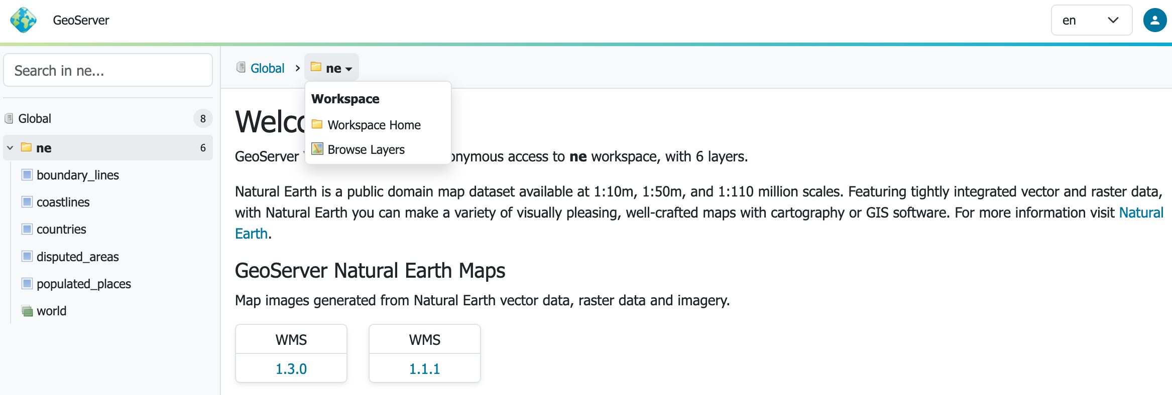
For containerized workflows, testers can quickly spin up the Docker image using standard container commands to evaluate performance and baseline functionality. The development team has designated the official OSGeo Discourse user forum as the primary hub for gathering user feedback, success stories, deployment questions, and issue reports. By channeling feedback into this centralized discussion thread, contributors can rapidly address lingering concerns and iron out compatibility snags before the final version is locked down.
GeoServer Cloud 3.0.0-RC and Modern Deployments
In tandem with the core application release, the project has launched GeoServer Cloud 3.0.0-RC, bringing the modernized codebase to cloud-native microservices architectures. Organizations looking to leverage distributed container environments can now experiment with version 3 in a scalable cloud configuration by following the Kubernetes quickstart documentation provided by the project. This parallel release ensures that users operating in traditional servlet containers and those managing elastic cloud clusters can both benefit from the architectural advancements embedded in the GeoServer 3 codebase.

The arrival of GeoServer 3 represents the successful completion of Milestone 3, a major undertaking supported heavily by the community crowdfunding campaign. Transitioning the core platform to a modern web stack has required extensive refactoring, particularly the migration to Spring Framework 7 and the Jakarta EE Servlet API 6.1. These foundational changes allow GeoServer 3 to officially support Tomcat 11.0.x and Jetty 12.1 application servers. The platform maintains robust compatibility with Java 17 and Java 21 runtimes, mirroring the baseline requirements of the 2.28.x series, while automated testing is already underway for newer Java runtime environments such as Java 25.
Architectural Enhancements and Security Integrations
Beyond the core container upgrades, GeoServer 3 introduces a streamlined security integration via Spring Security 7. This major update includes the debut of a brand-new OpenID Connect (OIDC) plugin designed to absorb and expand upon the capabilities previously handled by separate Keycloak and OAuth2 plugins. The development team is actively encouraging public testing of this new security module during the release candidate phase to ensure its inclusion as a fully supported extension in the stable 3.0.0 release.
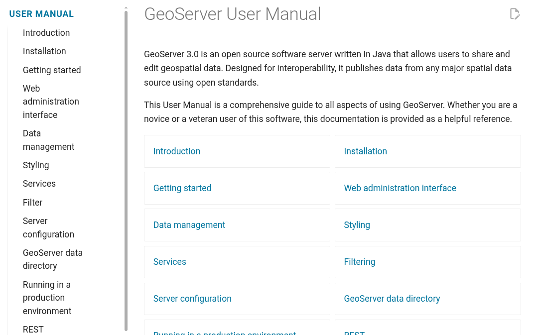
Users will also notice a significant shift in how documentation is delivered. After years of relying on traditional documentation formats, the project has successfully transitioned its entire user manual to Markdown. This modernization makes it easier for community contributors to submit quick fixes and documentation updates, though older documentation for the 2.x series remains accessible via archival links and version switchers.
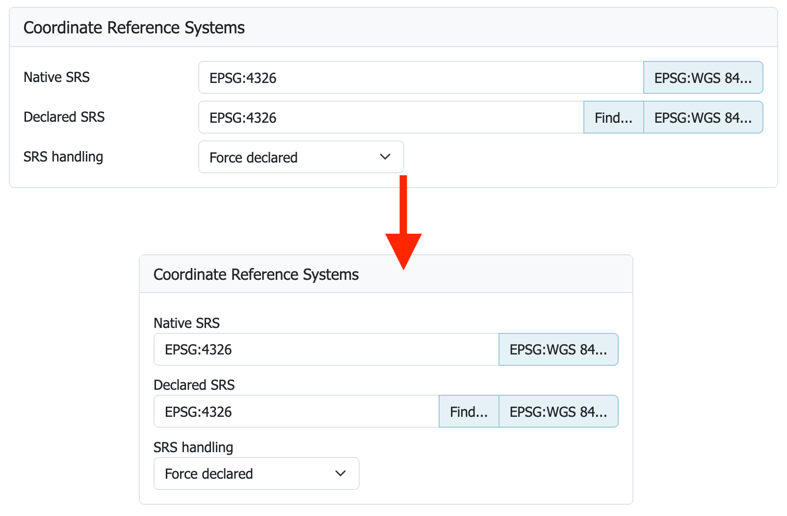
Revamped User Experience and Interface Design
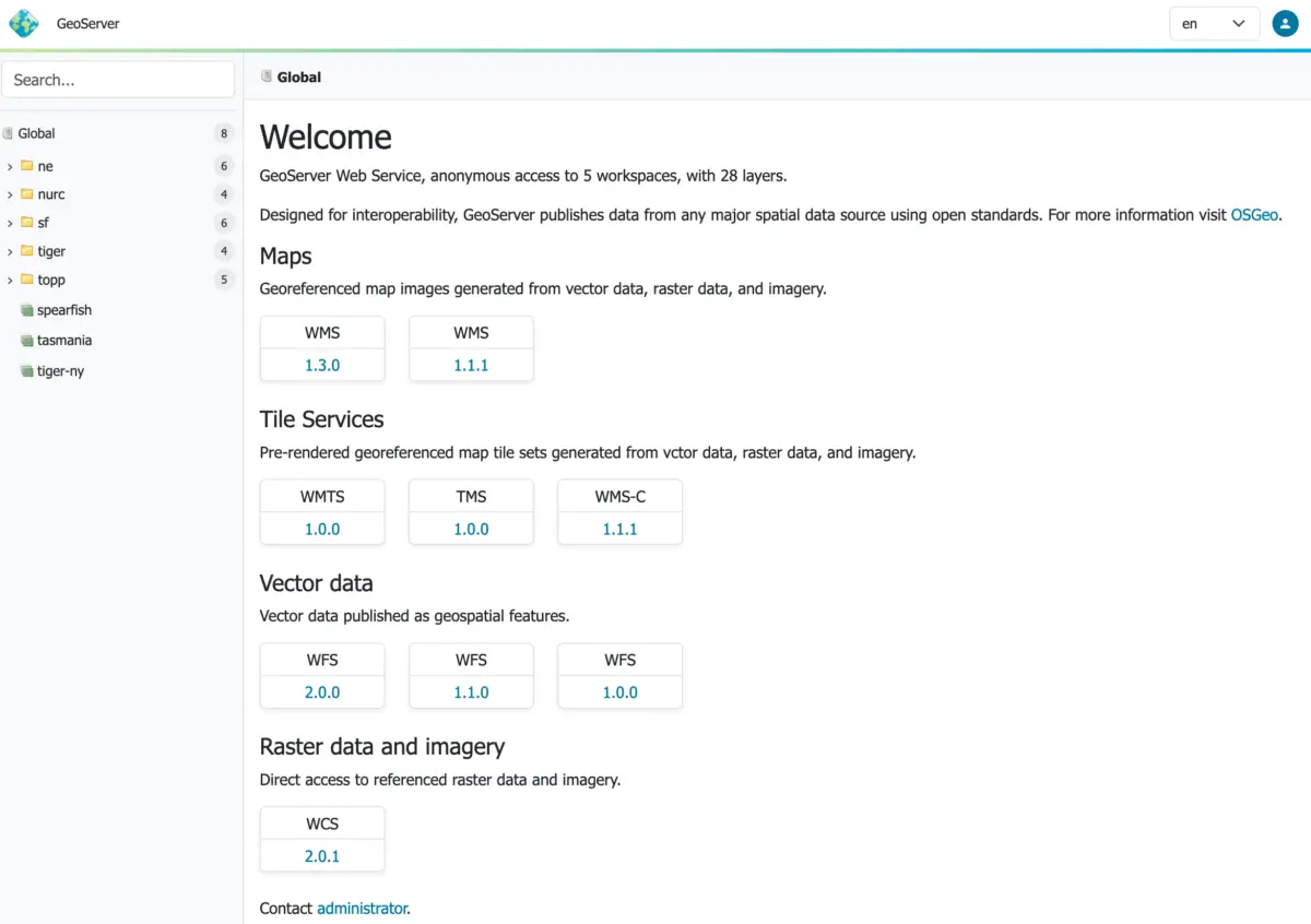
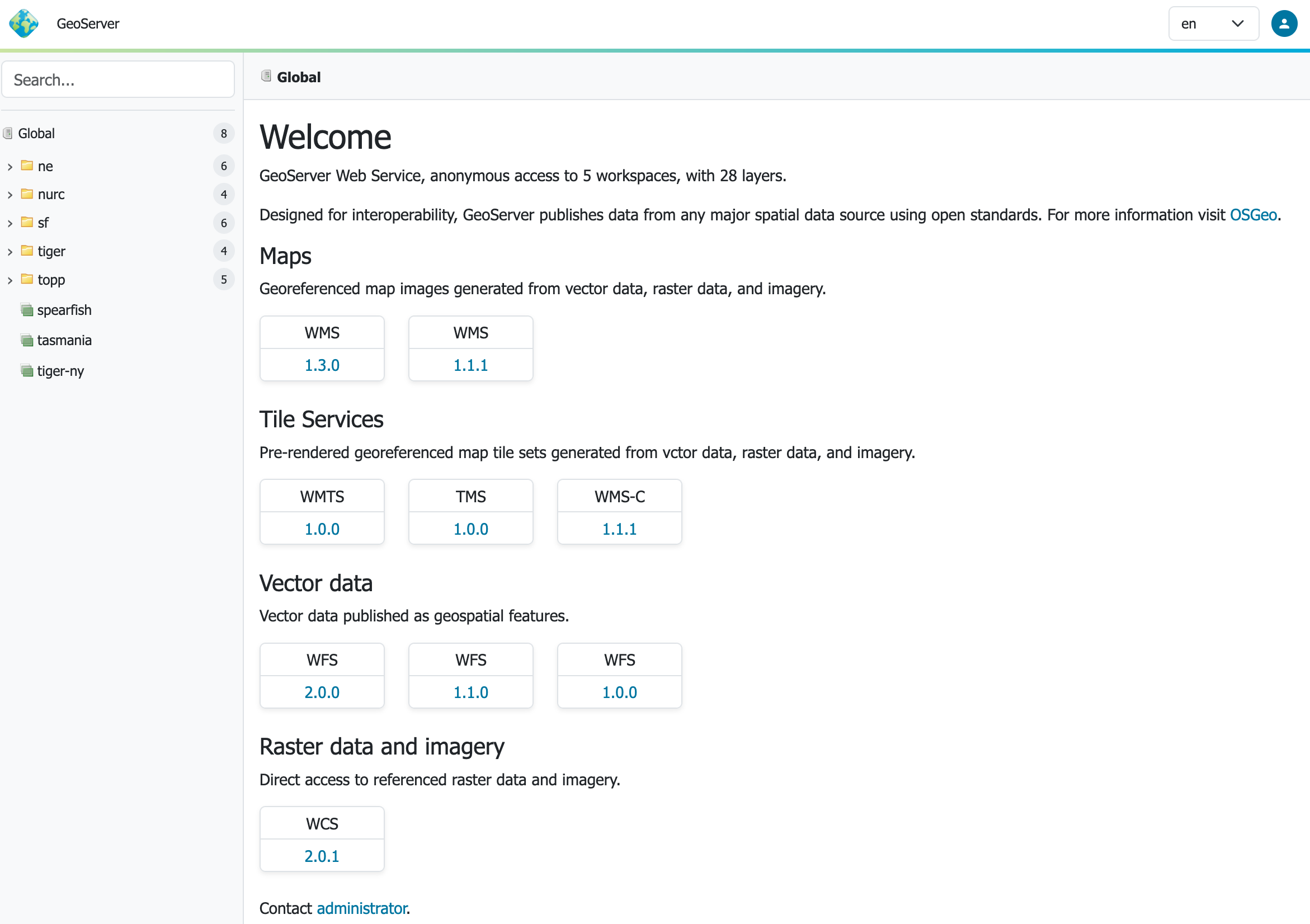
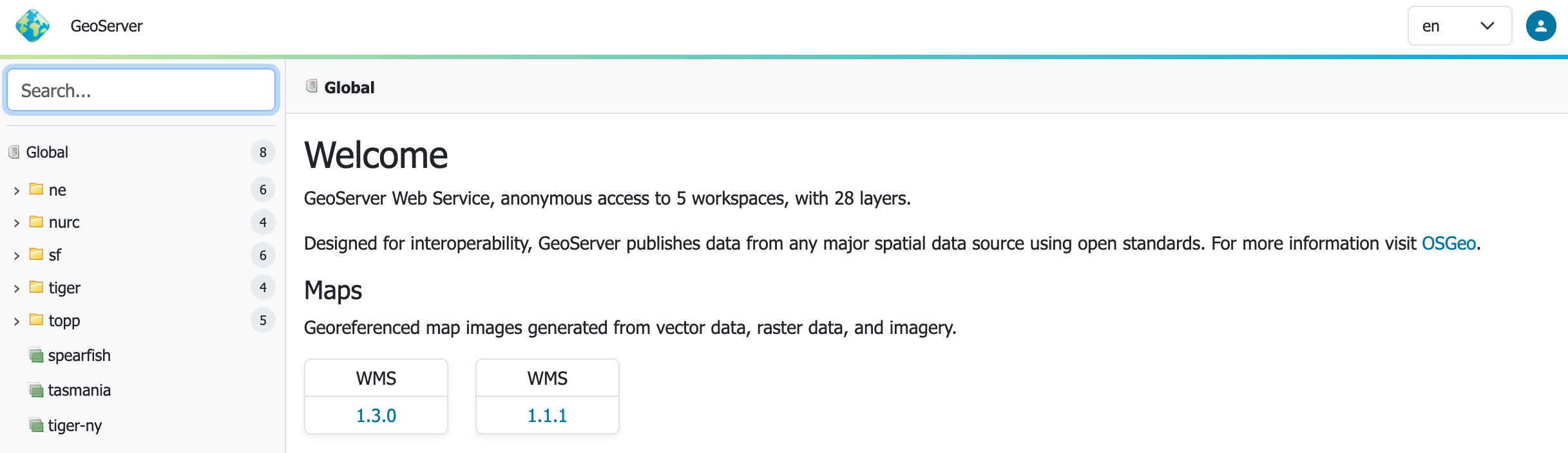
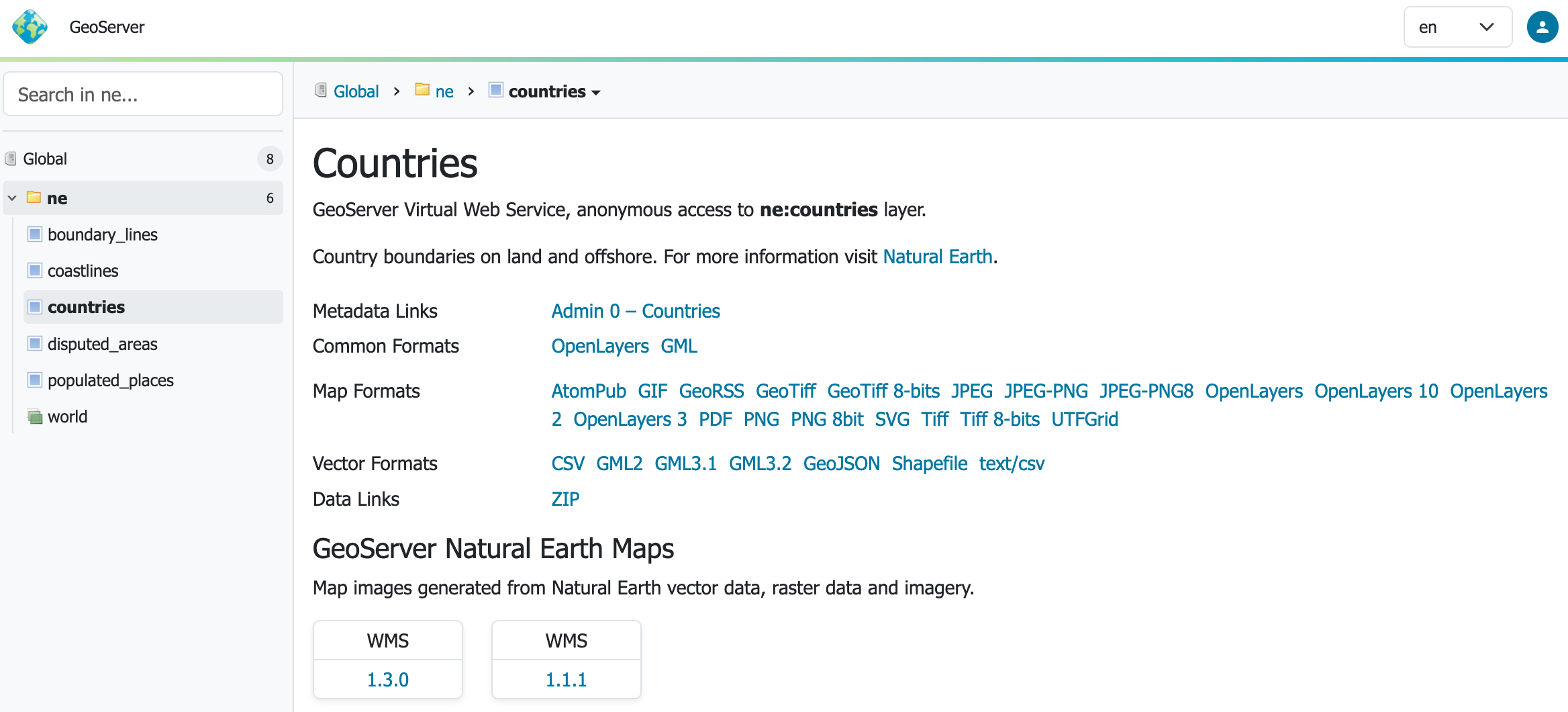
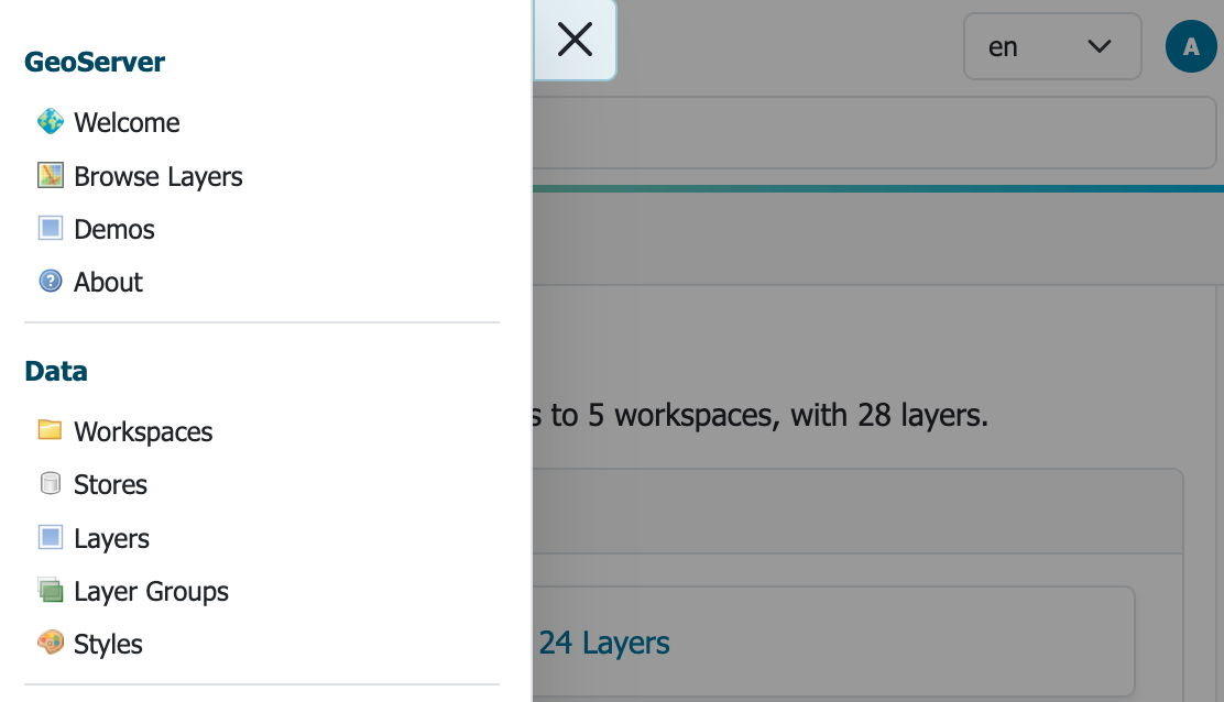
The user-facing side of GeoServer has undergone a dramatic transformation. GeoServer 3 introduces a fresh context-driven user experience and a completely responsive design theme developed under the leadership of Stefano Bovio of GeoSolutions, with contributions and verification from AfriGIS and GeoCat. This modern interface adapts seamlessly across various screen sizes and devices, addressing a long-standing request from the user community.
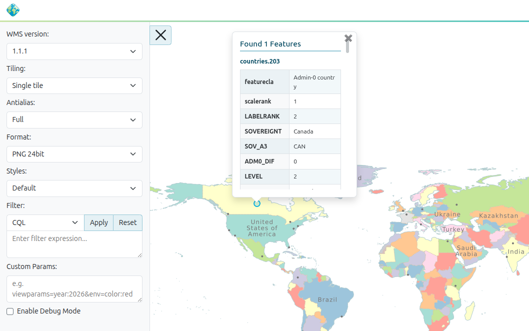
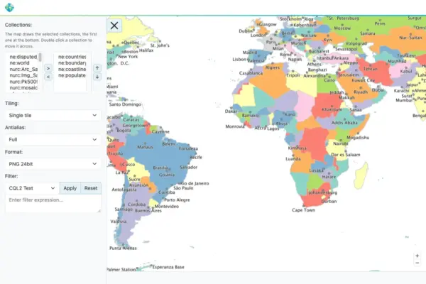
Complementing the new interface is a full-screen layer preview tool powered by the latest OpenLayers library. This enhancement gives administrators and data publishers a more immersive and responsive way to inspect spatial layers directly within the web administration interface. Furthermore, the development team has focused heavily on ensuring that upgrade paths from the GeoServer 2.28.x series remain as straightforward and seamless as possible, minimizing friction for administrators migrating existing map services to the new architecture.
Community Support and Collaborative Development
The realization of GeoServer 3 would not have been possible without the extensive financial and technical backing of the global geospatial community. A comprehensive crowdfunding campaign brought together dozens of organizational sponsors and individual donors who shared a vision for modernizing the open-source spatial stack. Major organizational sponsors include AfriGIS, Camptocamp, DLR, Dorset Council, Deutsche Telekom, Frachtwerk GmbH, GeoCat BV, Geocrafter, Comune di Genova, g.on, GeoSolutions, geosos, Geospatial Enabling Technologies, Incloud Limited, HL Consulting, IGN, ITS Digital, JDev, Kfw, Mammoth Geospatial, National Ocean Service, Plangis, Office of Public Works, Open Geo Groep, OSGeo Korea, OSGeo UK, Quarticle Research, Sea Island Software, Tailormap, terrestris, Ubigu, Value AG, Region Västra Götaland, and WaldExpert, alongside numerous individual contributors.

As the release candidate phase progresses, the community is invited to explore the extensive release notes, test community modules, and participate in shaping the final stable release of GeoServer 3.