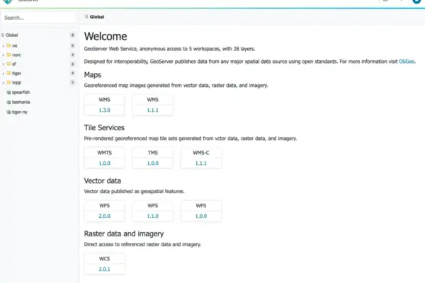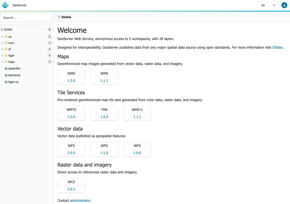
The geospatial open-source community is celebrating a major milestone today with the official release of GeoServer 3.0-RC. More than just a standard release candidate for a widely used map server, this milestone represents the concrete outcome of a massive, coordinated crowdfunding campaign that brought together commercial enterprises, public sector organizations, and individual developers from around the world.
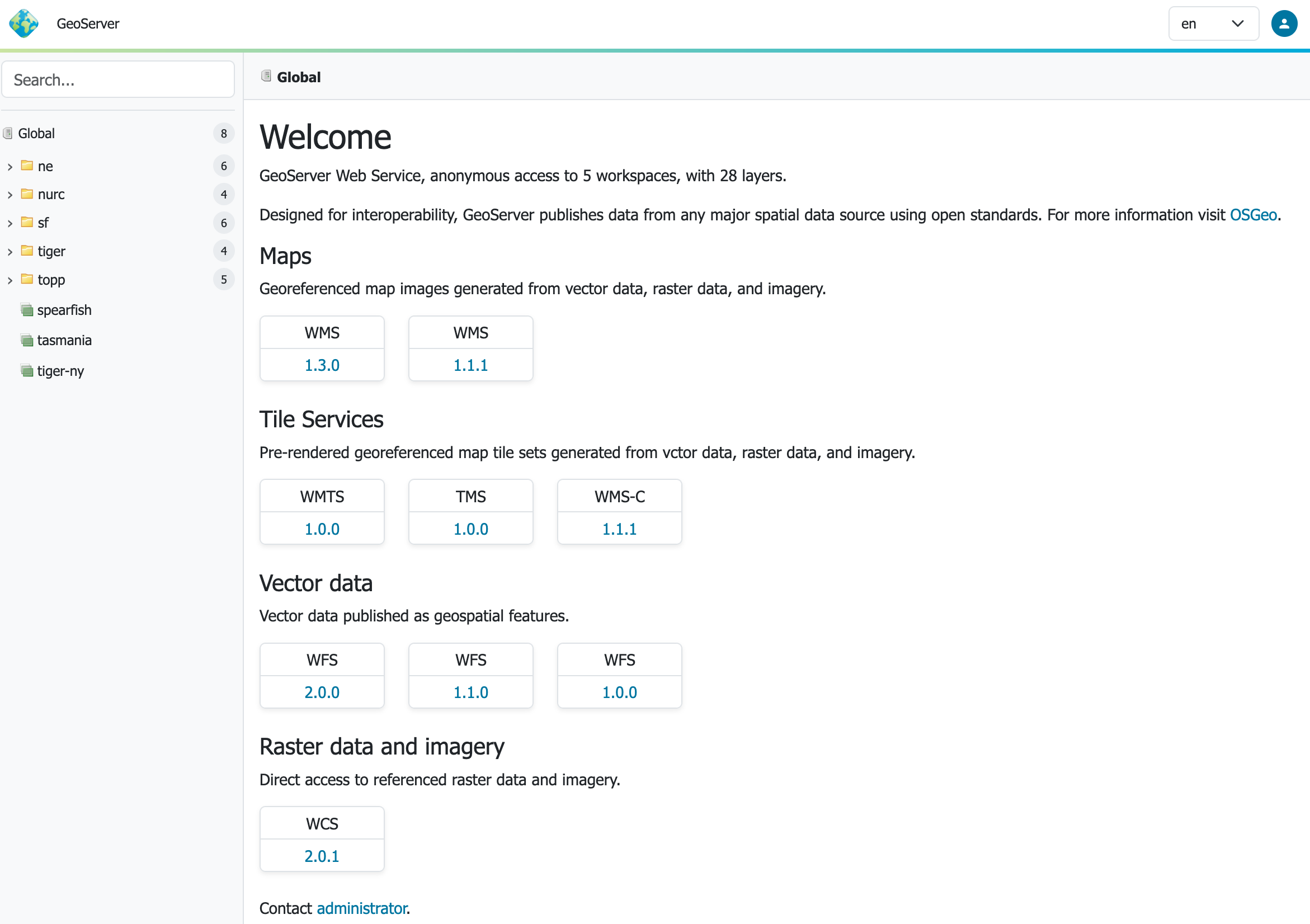
When the GeoServer 3 crowdfunding initiative was formally launched in September 2024, the project’s core maintainers and stakeholders recognized that the platform required much more than routine maintenance or incremental updates. For years, GeoServer had served as a foundational pillar of spatial data infrastructure across government agencies, environmental organizations, and private enterprises globally. However, the software faced a growing imperative to undergo a full platform modernization.
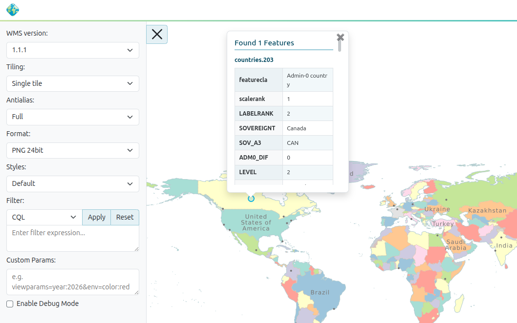
The ambition behind the initiative was to tackle foundational improvements that are notoriously difficult to finance through standard development cycles. The roadmap called for a next-generation user experience, a significantly strengthened security foundation, an upgrade to a modern Java stack, and vastly improved raster processing capabilities. Furthermore, achieving these sweeping changes required extensive engineering efforts to carry platform-wide modifications seamlessly across the broader GeoServer ecosystem without breaking existing integrations.

That intensive development work has now culminated in the public availability of GeoServer 3.0-RC, allowing users and system administrators to evaluate the results of the community’s investment.

From Campaign to Release Candidate
The path from an ambitious concept to a functioning release candidate was paved by a remarkable display of financial collaboration within the open-source geospatial community. The crowdfunding effort established a total funding target of 550,000 euros to make the comprehensive modernization plan a reality.
To kickstart the initiative, three core commercial pillars of the GeoServer ecosystem—Camptocamp, GeoCat, and GeoSolutions—each committed 50,000 euros, establishing an initial baseline and signaling strong industry backing. This foundational commitment set a community funding goal of 400,000 euros to secure the remaining resources required for the development cycle. By May 2025, the campaign officially surpassed that target, driven by contributions from a diverse coalition of organizational sponsors and individual donors.

This financial milestone was critical because GeoServer 3 was never envisioned as a minor version bump. The project required deep architectural investments in core platform infrastructure. While these backend improvements are essential for long-term reliability, performance, and security, they are often the hardest features to fund through traditional commercial support models or routine maintenance contracts.

The consortium of Camptocamp, GeoCat, and GeoSolutions provided essential project coordination, technical delivery capacity, and co-funding. Meanwhile, the broader network of corporate sponsors, community members, and individual contributors provided the vital momentum required to move the initiative decisively from the planning phase into full implementation.

What GeoServer 3.0-RC Shows
With the rollout of GeoServer 3.0-RC, the tangible results of this unprecedented community investment are finally ready for widespread public testing and evaluation. The release candidate introduces a thoroughly modernized platform designed to meet the evolving demands of modern spatial data infrastructures.

Crucially, GeoServer 3.0-RC is not arriving in isolation. It is being released simultaneously alongside GeoTools 35-RC and GeoWebCache 2.0-RC. This coordinated launch underscores the fact that this milestone extends far beyond a single application, representing an synchronized evolution of the entire core geospatial software stack that underpins countless mapping applications worldwide.

The transition to this new generation brings critical enhancements to performance, administrative workflows, and rendering efficiency. As organizations increasingly rely on spatial data for critical decision-making, emergency management, environmental monitoring, and urban planning, the modernization delivered in this release candidate ensures that the software remains robust, scalable, and secure against modern threat landscapes.

Why This Matter for Open Source Sustainability
Discussions surrounding open-source sustainability often remain abstract, frequently debating the merits of various funding models in theory rather than practice. However, the development trajectory of GeoServer 3 provides a concrete, real-world example of what a dedicated community can achieve when it rallies around a shared infrastructural need.

Importantly, the crowdfunding campaign did not finance a narrow, isolated feature request or a custom plugin for a single client. Instead, it funded the foundational, behind-the-scenes work that keeps a critical open-source project healthy over the long term. This included comprehensive technical modernization, rigorous security upgrades, extensive cross-ecosystem testing, documentation improvements, and architectural changes designed to ensure long-term maintainability.

This is precisely the kind of systemic upkeep that user communities depend on, yet it remains the most challenging type of work to finance unless users, developers, and organizations step forward to share the burden collaboratively. The success of the GeoServer 3 initiative proves that community-driven crowdfunding models can successfully tackle large-scale technical debt and architectural overhauls in major open-source projects.

Help Us Finish Strong
The arrival of GeoServer 3.0-RC marks a major turning point, but it also serves as a direct call to action for the wider community to engage in rigorous testing. Project maintainers are strongly encouraging users across all sectors to deploy the release candidate in their staging and production environments to identify edge cases, verify compatibility, and ensure a smooth upgrade path before the final stable release.

Feedback is especially encouraged for environments handling complex vector data layers, intensive raster processing workflows, custom security configurations, and high-concurrency web mapping setups. Administrators and developers looking to evaluate the software can download GeoServer 3.0-RC directly from the official release page, review the detailed upgrade instructions in the documentation, or perform a rapid evaluation using the official Docker container image provided by the project.

Community members are invited to share their testing experiences, bug reports, and general feedback through the dedicated GeoServer 3.0-RC discourse thread hosted by OSGeo.

Thank You
Reaching the release candidate stage for GeoServer 3 is an immense technical achievement, but above all, it is a testament to the strength and dedication of the global geospatial community.

The project extends its gratitude to the numerous organizations, individual donors, developers, testers, and sponsors who stepped up to fund and guide this initiative. Special recognition goes to the consortium teams at Camptocamp, GeoCat, and GeoSolutions for their tireless work in steering the project from an ambitious fundraising campaign to a fully realized release candidate.

GeoServer 3.0-RC exists because a global community of users and organizations decided that maintaining and modernizing this essential open-source technology was a shared goal worth investing in. That collaborative success is a milestone worth celebrating.

The development and support of GeoServer 3 has been made possible by a broad coalition of organizations, including AfriGIS, Camptocamp, DLR, Dorset Council, Deutsche Telekom, Frachtwerk GmbH, GeoCat BV, Geocrafter – Geospatial Studio, Comune di Genova, g.on, GeoSolutions SRL, geosos, Geospatial Enabling Technologies (GET), Incloud Limited, HL Consulting, Institut national de l’information géographique et forestière (IGN), ITS Digital, JDev, Kreditanstalt für Wiederaufbau, Mammoth Geospatial, NOAA National Ocean Service, Plangis, Office of Public Works, Open Geo Groep, OSGeo:Korea, OSGeo:UK, Quarticle Research Srl, Sea Island Software, Tailormap, terrestris, Ubigu, Value AG, Region Västra Götaland, and WaldExpert.

The initiative was further supported by individual donations from Abhijit Gujar, Hennessy Becerra, Ivana Ivanova, John Bryant, Jason Horning, Jose Macchi, Peter Smythe, Sajjadul Islam, Sebastiano Meier, and Stefan Overkamp.