
SkyeBrowse has officially introduced a brand-new pricing structure tailored to revolutionize how commercial operators, public safety agencies, and larger enterprise organizations approach 3D drone mapping. By pivoting away from conventional monthly seat-based subscriptions, the company is aiming to make advanced geospatial processing far more accessible, flexible, and economically viable for teams of all sizes.
The newly launched portfolio introduces three distinct tiers: Commercial, Pro, and Public Safety & Enterprise. Rather than paying a recurring fee for every user license regardless of utilization, customers now pay strictly on a per-model basis. This empowers organizations to select the precise processing quality, storage duration, and suite of analytical tools required for each specific project they undertake.
Three Plans Tailored for Diverse Mapping Requirements
The restructuring addresses a wide spectrum of industry demands, ensuring that independent contractors and massive municipal agencies alike can find a plan that fits their workflow. The entry-level Commercial plan is priced at $24.99 per model. Designed to accommodate everyday commercial operations, it delivers robust 8K processing capabilities, a claimed mapping accuracy of 0.5 inches, and three months of secure cloud storage. Additionally, it equips users with essential core tools required for viewing, measuring, annotating, and sharing completed 3D models with clients or stakeholders.
Stepping up to the Pro plan, which costs $49.99 per model, users unlock a more extensive feature set tailored for growing businesses. This tier extends cloud storage to a full year and introduces valuable capabilities such as data exports, advanced artificial intelligence tools, custom white-labeling options, and the ability to import custom 3D models directly into the environment.
At the top of the hierarchy sits the Public Safety & Enterprise plan, priced at $199 per model annually. This tier is engineered specifically to meet the rigorous demands of law enforcement, fire departments, search and rescue teams, and large corporate infrastructure managers. It provides ultra-high-definition 16K processing, a remarkably tight claimed accuracy of 0.1 inches, unlimited user accounts, and a guaranteed five years of secure cloud storage. Furthermore, the Enterprise tier incorporates strict Criminal Justice Information Services (CJIS) compliance alongside specialized tools designed specifically for digital evidence management and forensic scene reconstruction.
This tiered flexibility is intended to solve a common industry dilemma: smaller operators often find themselves priced out of advanced geospatial tools due to high enterprise subscription costs, while large agencies require long-term data retention, heightened security protocols, and seamless inter-agency collaboration. By decoupling access from user seats, SkyeBrowse is effectively lowering the financial hurdle of entry for high-end 3D modeling.
This modern operational approach closely mirrors themes highlighted by SkyeBrowse CEO Bobby Ouyang during a recent industry interview. Ouyang emphasized that modern drone programs frequently encounter scaling roadblocks when software vendors mandate specialized training or complex operational workflows just to utilize specialized tools.
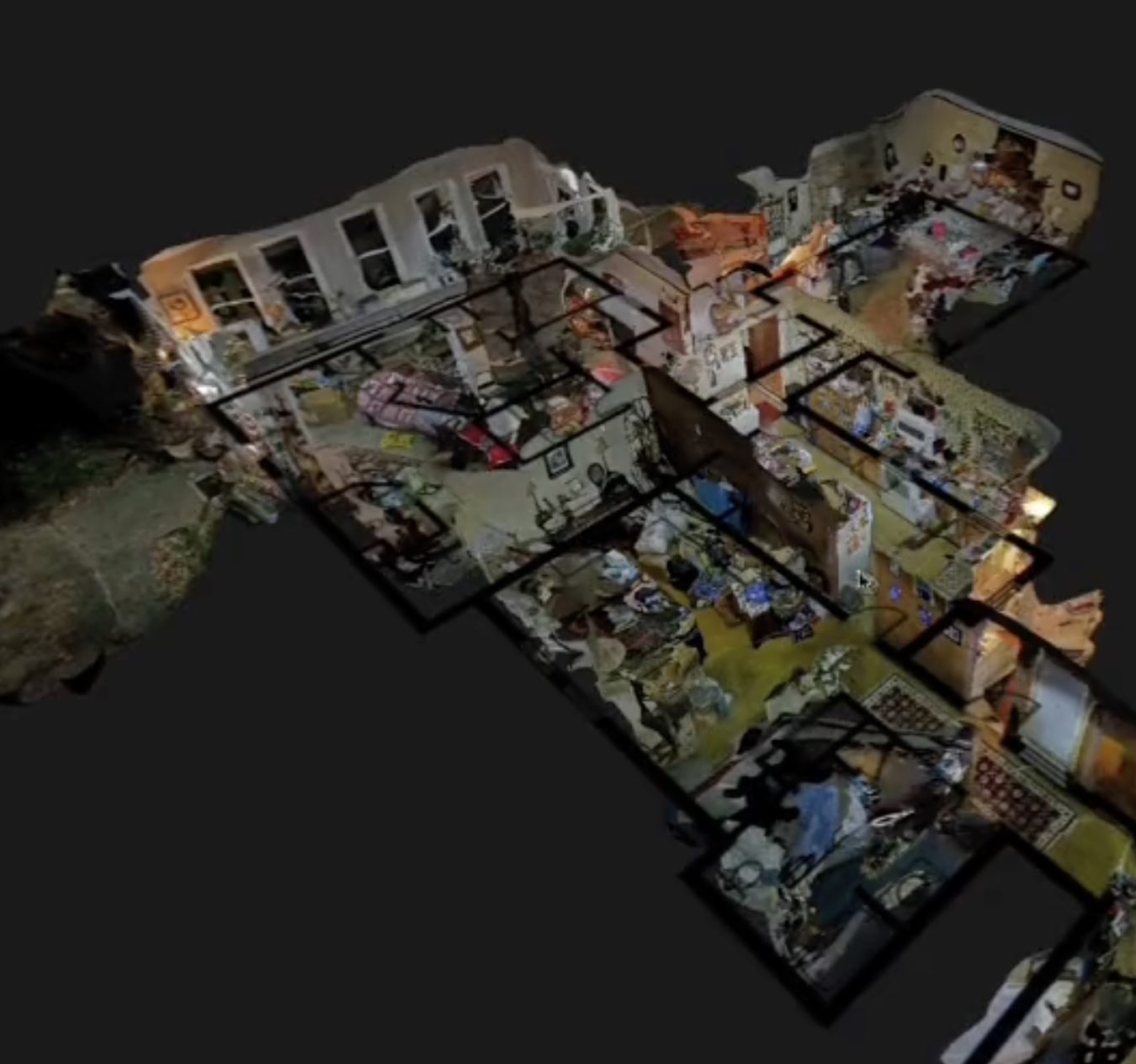
During the discussion, Ouyang explained that the overarching philosophy guiding the company’s product development is centered on reducing friction for the end user. The core objective of every software iteration is to ensure that the human operator performs less manual intervention, streamlining a workflow down to a simple two-orbit automated flight, a quick video upload, and a fully rendered 3D model generated within a matter of minutes. As Ouyang noted, the internal technology is intentionally sophisticated, while the external user experience remains remarkably simple.
The introduction of this consumption-based pricing model naturally extends that foundational focus on simplicity from the software interface directly into how organizations procure and manage the platform.
Advanced Tools Expand Practical Model Applications
Alongside the commercial realignment, SkyeBrowse has rolled out several powerful new features designed to expand the practical utility of its generated 3D models for both everyday commercial users and public safety professionals.
Among these additions is the Import Custom 3D Model tool, which gives operators the ability to seamlessly integrate standard GLB or STL files directly into an existing captured scene. Users can intuitively position, rotate, and scale these imported digital objects within the spatial environment. This capability opens up a wide array of valuable use cases, such as visualizing proposed construction equipment, evaluating architectural additions, or planning emergency response setups within a digital twin of an actual site.
For law enforcement and emergency services, a newly introduced Case Gallery feature significantly streamlines evidence handling. This functionality allows multiple standalone photographs to be directly attached to a specific annotation within a 3D model. By keeping supporting photographic evidence permanently linked to an exact physical coordinate inside the 3D scene, investigative teams can maintain superior organization and chain-of-custody documentation.
Flexibility has also been enhanced for users working on trial or ad-hoc projects. Operators now possess the capability to seamlessly upgrade existing Freemium models to fully paid tiers. When an upgrade is initiated, higher-tier analytical tools instantly become available while the full-resolution model rebuilds itself seamlessly in the background. To further streamline access for corporate and municipal environments, SkyeBrowse has also integrated convenient Microsoft account sign-in capabilities.
By addressing the varied needs of independent commercial pilots capturing a handful of sites each month, up to massive enterprise organizations managing extensive libraries of geospatial data, SkyeBrowse is staking its future on a flexible model. Tying financial commitment directly to finished models rather than rigid monthly seat licenses ensures that access to professional-grade 3D mapping can scale organically alongside the growth of each individual customer’s operational footprint.